Estimated Value: $159,259 - $222,000
--
Bed
--
Bath
1,927
Sq Ft
$105/Sq Ft
Est. Value
About This Home
This home is located at 4243 Simpson Highway 28 W, Magee, MS 39111 and is currently estimated at $202,065, approximately $104 per square foot. 4243 Simpson Highway 28 W is a home located in Simpson County with nearby schools including Magee Elementary School, Magee Middle School, and Magee High School.
Ownership History
Date
Name
Owned For
Owner Type
Purchase Details
Closed on
Sep 30, 2022
Sold by
Swaim Frank David and Swaim Kathy W
Bought by
May Amanda
Current Estimated Value
Home Financials for this Owner
Home Financials are based on the most recent Mortgage that was taken out on this home.
Original Mortgage
$110,000
Outstanding Balance
$105,975
Interest Rate
5.66%
Mortgage Type
New Conventional
Estimated Equity
$96,090
Create a Home Valuation Report for This Property
The Home Valuation Report is an in-depth analysis detailing your home's value as well as a comparison with similar homes in the area
Home Values in the Area
Average Home Value in this Area
Purchase History
| Date | Buyer | Sale Price | Title Company |
|---|---|---|---|
| May Amanda | -- | -- |
Source: Public Records
Mortgage History
| Date | Status | Borrower | Loan Amount |
|---|---|---|---|
| Open | May Amanda | $110,000 | |
| Previous Owner | Swalm Frank David | $73,533 | |
| Previous Owner | Swalm Frank David | $62,926 |
Source: Public Records
Tax History Compared to Growth
Tax History
| Year | Tax Paid | Tax Assessment Tax Assessment Total Assessment is a certain percentage of the fair market value that is determined by local assessors to be the total taxable value of land and additions on the property. | Land | Improvement |
|---|---|---|---|---|
| 2024 | $1,544 | $13,574 | $0 | $0 |
| 2023 | $1,544 | $8,636 | $0 | $0 |
| 2022 | $1,427 | $12,954 | $0 | $0 |
| 2021 | $1,399 | $12,954 | $0 | $0 |
| 2020 | $1,314 | $12,165 | $0 | $0 |
| 2019 | $1,259 | $12,165 | $0 | $0 |
| 2018 | $1,259 | $12,165 | $0 | $0 |
| 2017 | $1,259 | $12,165 | $0 | $0 |
| 2016 | $1,187 | $11,933 | $0 | $0 |
| 2015 | $1,146 | $11,933 | $0 | $0 |
| 2014 | $1,146 | $11,933 | $0 | $0 |
Source: Public Records
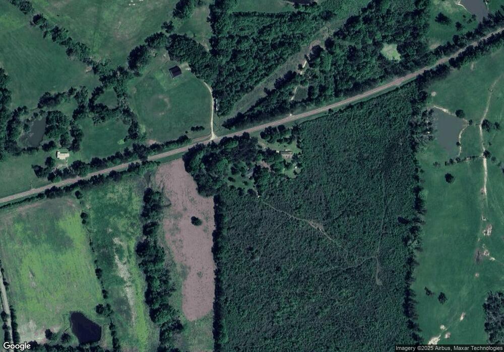
Map
Nearby Homes
- 0 James Boyakin Barnett Rd
- 120 Memory Ln
- 1360 Airport Rd
- 110 Anse Reed Rd
- 120 Anse Reed Rd
- 0 Highway 28 Hwy Unit 1287717
- 00 Anse Reed Rd
- 0 Pecan Grove Dr Unit 4116202
- 0 Airport Rd Unit 23277891
- 5219 Simpson Highway 28 W
- 0 Lawrence Wigginton Rd
- 461 Highway 545
- 147 Wolverton Dr
- 1800 Simpson Highway 49
- 143 Ashwood Ln
- 544 E Scr 503 B
- 3575 Smith County Road 110
- 3530 Smith County Road 110
- 209 Dolly Ln
- 132 Sanatorium Rd
- 4257 Simpson Highway 28 W
- 120 Shady Hollow Dr
- 107 Shady Hollow Dr
- 4202 Simpson Highway 28 W
- 116 Shady Hollow Dr
- 132 Workman Dr
- 290 W J Walker Rd
- 840 James Boyakin Barnett Rd
- 868 James Boyakin Barnett Rd
- 117 Larry Prestwood Dr
- 254 W J Walker Rd
- 249 W J Walker Rd
- 902 James Boyakin Barnett Rd
- 112 Larry Prestwood Dr
- 814 James Boyakin Barnett Rd
- 152 Brooksberg Dr
- 240 W J Walker Rd
- 235 Ducksworth Ranch Dr
- 216 W J Walker Rd
- 236 Dr Brooks Rd