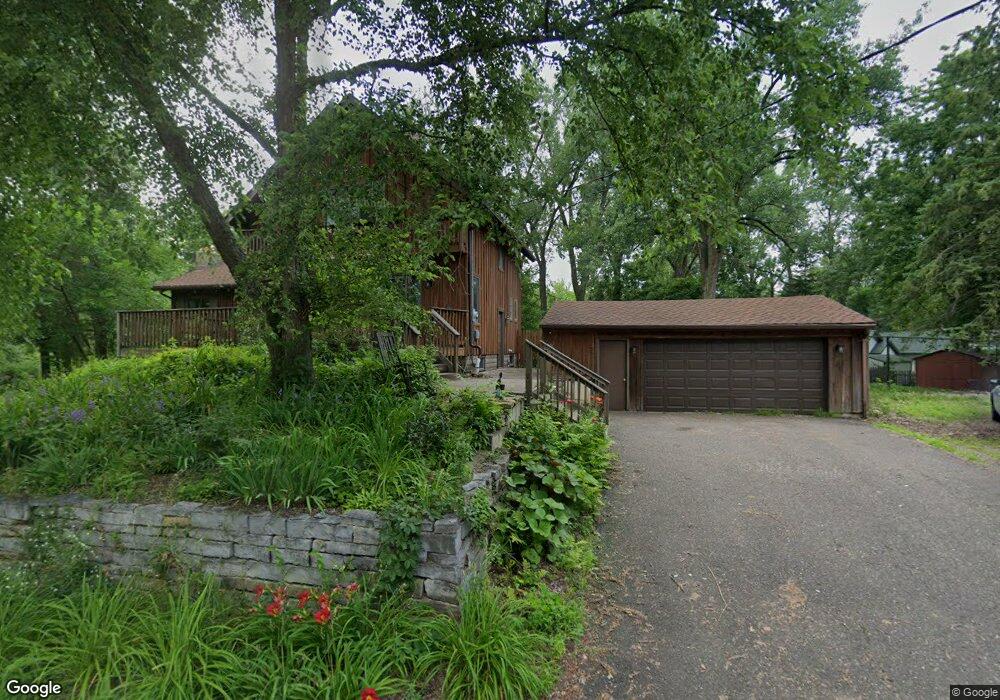
425 McCarrons Blvd N Saint Paul, MN 55113
McCarrons NeighborhoodEstimated Value: $351,000 - $480,000
2
Beds
1
Bath
1,087
Sq Ft
$390/Sq Ft
Est. Value
About This Home
This home is located at 425 McCarrons Blvd N, Saint Paul, MN 55113 and is currently estimated at $423,442, approximately $389 per square foot. 425 McCarrons Blvd N is a home located in Ramsey County with nearby schools including Central Park Elementary School, Roseville Area Middle School, and Roseville Area Senior High School.
Ownership History
Date
Name
Owned For
Owner Type
Purchase Details
Closed on
Jan 24, 2018
Sold by
Fannie Mae
Bought by
Neururer Richard and Neururer Julie
Current Estimated Value
Purchase Details
Closed on
Dec 21, 2015
Sold by
Hogan Barbara L
Bought by
Bell State Bank Trusts and Bell Bank
Home Financials for this Owner
Home Financials are based on the most recent Mortgage that was taken out on this home.
Original Mortgage
$195,300
Interest Rate
3.97%
Purchase Details
Closed on
Mar 3, 2015
Sold by
Rasmussen Nicole and Rasmussen David A
Bought by
Wells Fargo Bank Na
Purchase Details
Closed on
Nov 21, 2002
Sold by
Robinson James R and Robinson Linda J
Bought by
Gruber Carol A and Weaver Karen E
Create a Home Valuation Report for This Property
The Home Valuation Report is an in-depth analysis detailing your home's value as well as a comparison with similar homes in the area
Home Values in the Area
Average Home Value in this Area
Purchase History
| Date | Buyer | Sale Price | Title Company |
|---|---|---|---|
| Neururer Richard | -- | Lawyer Title Co | |
| Bell State Bank Trusts | -- | None Available | |
| Hogan Barbara Barbara | $210,000 | -- | |
| Wells Fargo Bank Na | $286,169 | None Available | |
| Gruber Carol A | $324,000 | -- |
Source: Public Records
Mortgage History
| Date | Status | Borrower | Loan Amount |
|---|---|---|---|
| Previous Owner | Hogan Barbara Barbara | $195,300 |
Source: Public Records
Tax History Compared to Growth
Tax History
| Year | Tax Paid | Tax Assessment Tax Assessment Total Assessment is a certain percentage of the fair market value that is determined by local assessors to be the total taxable value of land and additions on the property. | Land | Improvement |
|---|---|---|---|---|
| 2025 | $5,306 | $402,200 | $105,000 | $297,200 |
| 2023 | $5,306 | $374,900 | $94,500 | $280,400 |
| 2022 | $4,672 | $372,400 | $94,500 | $277,900 |
| 2021 | $3,440 | $308,700 | $94,500 | $214,200 |
| 2020 | $3,760 | $243,000 | $76,000 | $167,000 |
| 2019 | $3,812 | $248,600 | $76,000 | $172,600 |
| 2018 | $4,834 | $245,800 | $89,700 | $156,100 |
| 2017 | $4,494 | $280,600 | $89,700 | $190,900 |
| 2016 | $4,366 | $0 | $0 | $0 |
| 2015 | $4,362 | $297,800 | $100,500 | $197,300 |
| 2014 | $3,930 | $0 | $0 | $0 |
Source: Public Records
Map
Nearby Homes
- 321 Elmer St
- 420 McCarrons Blvd S
- 482 Eldridge Ave W
- 335 Burke Ave W
- 500 County Road B W Unit 309
- 2039 Marion St
- 1801 Western Ave N
- 2071 Dale St N
- 707 Shryer Ave W
- 201 McCarrons Place
- 708 Skillman Ave W
- 2254 Western Ave N
- 1943 Rice St
- 229 McCarrons Place
- 230 McCarrons Place
- 2099 Albemarle Ct N
- 518 Lovell Ave W Unit 2
- 1630 MacKubin St
- 330 Grandview Ave W
- 1600 Arundel St Unit 204
- 2011 Cohansey Blvd
- 411 McCarrons Blvd N
- 416 McCarrons Blvd N
- 410 McCarrons Blvd N
- 400 McCarrons Blvd N
- 2010 Cohansey Blvd
- 2006 Cohansey Blvd
- 2014 Cohansey Blvd
- 394 McCarrons Blvd N
- 2020 Cohansey Blvd
- 2031 Irene St
- 390 McCarrons Blvd N
- 450 Bayview Dr
- 2024 Cohansey Blvd
- 2030 Irene St
- 382 McCarrons Blvd N
- 2039 Irene St
- 386 McCarrons Blvd N
- 386 N Mccarron Blvd
- 456 Bayview Dr