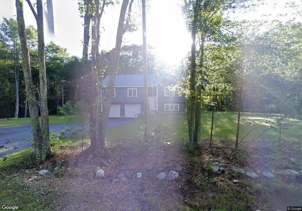
425 N Brookfield Rd Oakham, MA 01068
Estimated Value: $427,000 - $555,818
3
Beds
3
Baths
1,373
Sq Ft
$356/Sq Ft
Est. Value
About This Home
This home is located at 425 N Brookfield Rd, Oakham, MA 01068 and is currently estimated at $488,205, approximately $355 per square foot. 425 N Brookfield Rd is a home with nearby schools including Quabbin Regional Middle School and Quabbin Regional High School.
Ownership History
Date
Name
Owned For
Owner Type
Purchase Details
Closed on
Oct 18, 2022
Sold by
Amidio Bros Inc
Bought by
Anderson Sean P and Anderson Sebrina M
Current Estimated Value
Home Financials for this Owner
Home Financials are based on the most recent Mortgage that was taken out on this home.
Original Mortgage
$339,000
Outstanding Balance
$324,483
Interest Rate
5.66%
Mortgage Type
Purchase Money Mortgage
Estimated Equity
$163,722
Purchase Details
Closed on
Aug 6, 2021
Sold by
Storie William A and Storie Maritza
Bought by
Amidio Bros Inc
Create a Home Valuation Report for This Property
The Home Valuation Report is an in-depth analysis detailing your home's value as well as a comparison with similar homes in the area
Home Values in the Area
Average Home Value in this Area
Purchase History
| Date | Buyer | Sale Price | Title Company |
|---|---|---|---|
| Anderson Sean P | $489,115 | None Available | |
| Amidio Bros Inc | $55,000 | None Available |
Source: Public Records
Mortgage History
| Date | Status | Borrower | Loan Amount |
|---|---|---|---|
| Open | Anderson Sean P | $339,000 |
Source: Public Records
Tax History Compared to Growth
Tax History
| Year | Tax Paid | Tax Assessment Tax Assessment Total Assessment is a certain percentage of the fair market value that is determined by local assessors to be the total taxable value of land and additions on the property. | Land | Improvement |
|---|---|---|---|---|
| 2025 | $4,653 | $402,900 | $140,100 | $262,800 |
| 2024 | $4,415 | $398,500 | $137,400 | $261,100 |
| 2023 | $1,394 | $120,500 | $120,500 | $0 |
| 2022 | $117 | $9,200 | $9,200 | $0 |
| 2021 | $120 | $9,200 | $9,200 | $0 |
| 2020 | $648 | $47,800 | $47,800 | $0 |
| 2019 | $49 | $44,900 | $44,900 | $0 |
| 2018 | $593 | $39,000 | $39,000 | $0 |
| 2017 | $556 | $39,000 | $39,000 | $0 |
| 2016 | $523 | $37,600 | $37,600 | $0 |
| 2015 | $514 | $37,600 | $37,600 | $0 |
| 2014 | $487 | $37,600 | $37,600 | $0 |
Source: Public Records
Map
Nearby Homes
- 38-3 Edson
- 103 Barre Rd
- 21 Spencer Rd
- 926 Old Turnpike Rd
- 252 Pleasantdale Rd
- Lot 11 Pleasantdale Rd
- Lot 2 Barrack Hill Rd
- 0 Barrack Hill Rd Unit 73395148
- Lot 38 Edson Rd
- 21 Wildbrook Dr
- 38 Edson Rd
- Lot 24R Quail Run
- Lot 29 Quail Run
- Lot 27A Quail Run
- 4 Fidelity Dr Unit 2
- 6 Fidelity Dr Unit 3
- 356 Hunt Rd
- 1109 New Braintree Rd
- 51 Woodside Ave
- 47 Woodside Ave
- 426 N Brookfield Rd
- 438 N Brookfield Rd
- 455 N Brookfield Rd
- 391 N Brookfield Rd
- 392 N Brookfield Rd
- 384 N Brookfield Rd
- 59 Crawford Rd
- 1 Crawford Rd
- 00 Crawford Rd
- 0 Crawford Rd Unit 71068403
- 0 Crawford Rd
- 28 Crawford Rd
- 472 N Brookfield Rd
- 479 N Brookfield Rd
- 1 Forest Hills Dr
- 91 Crawford Rd
- 31 Forest Hills Dr
- 73 Forest Hills Dr
- 97 Forest Hills Dr
- Lot 10 Forest Hill