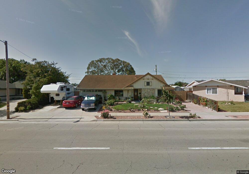
4250 Constellation Rd Unit 1 Lompoc, CA 93436
Estimated Value: $451,000 - $638,000
3
Beds
2
Baths
1,659
Sq Ft
$353/Sq Ft
Est. Value
About This Home
This home is located at 4250 Constellation Rd Unit 1, Lompoc, CA 93436 and is currently estimated at $586,240, approximately $353 per square foot. 4250 Constellation Rd Unit 1 is a home located in Santa Barbara County with nearby schools including Buena Vista Elementary School, Cabrillo High School, and Olive Grove Charter - Lompoc.
Ownership History
Date
Name
Owned For
Owner Type
Purchase Details
Closed on
Dec 5, 2012
Sold by
Gibbons James Lee and Gibbons Debra Jean
Bought by
Gibbons James L and Gibbons Debra J
Current Estimated Value
Purchase Details
Closed on
Nov 19, 2001
Sold by
Dodson Rose G
Bought by
Gibbons James Lee and Gibbons Debra Jean
Home Financials for this Owner
Home Financials are based on the most recent Mortgage that was taken out on this home.
Original Mortgage
$154,000
Outstanding Balance
$59,525
Interest Rate
6.57%
Estimated Equity
$526,715
Create a Home Valuation Report for This Property
The Home Valuation Report is an in-depth analysis detailing your home's value as well as a comparison with similar homes in the area
Home Values in the Area
Average Home Value in this Area
Purchase History
| Date | Buyer | Sale Price | Title Company |
|---|---|---|---|
| Gibbons James L | -- | None Available | |
| Gibbons James Lee | $192,500 | Stewart Title |
Source: Public Records
Mortgage History
| Date | Status | Borrower | Loan Amount |
|---|---|---|---|
| Open | Gibbons James Lee | $154,000 |
Source: Public Records
Tax History
| Year | Tax Paid | Tax Assessment Tax Assessment Total Assessment is a certain percentage of the fair market value that is determined by local assessors to be the total taxable value of land and additions on the property. | Land | Improvement |
|---|---|---|---|---|
| 2025 | $3,357 | $284,355 | $110,785 | $173,570 |
| 2023 | $3,357 | $273,315 | $106,484 | $166,831 |
| 2022 | $3,304 | $267,957 | $104,397 | $163,560 |
| 2021 | $3,337 | $262,703 | $102,350 | $160,353 |
| 2020 | $3,303 | $260,010 | $101,301 | $158,709 |
| 2019 | $3,255 | $254,913 | $99,315 | $155,598 |
| 2018 | $3,209 | $249,916 | $97,368 | $152,548 |
| 2017 | $3,066 | $245,016 | $95,459 | $149,557 |
| 2016 | $2,743 | $240,213 | $93,588 | $146,625 |
| 2014 | $2,682 | $231,972 | $90,378 | $141,594 |
Source: Public Records
Map
Nearby Homes
- 4447 Falcon Dr
- 113 Gemini Ave
- 18 Galaxy Way
- 6 Stanford Cir
- 3939 Mesa Circle Dr
- 3922 Mesa Circle Dr
- 3916 Mesa Circle Dr Unit A
- 73 Stanford Cir
- 372 Oak Hill Dr
- 4166 Oakwood Ct
- 4173 Oakwood Ct
- 240 Oak Hill Dr
- 0 Oak Hill Dr Unit 24-783
- 250 Saint Andrews Way
- 649 Burning Tree Way
- 4473 Greenbrier Rd
- 384 Falcon Crest Dr
- 372 Falcon Crest Dr
- 3843 Cassini Cir Unit 3
- 3725 Jupiter Ave
- 4260 Constellation Rd
- 4240 Constellation Rd
- 4241 Polaris Ave
- 4231 Polaris Ave
- 4261 Polaris Ave
- 4270 Constellation Rd
- 4230 Constellation Rd
- 4249 Constellation Rd
- 4221 Polaris Ave
- 4271 Polaris Ave
- 4259 Constellation Rd
- 4237 Constellation Rd
- 4280 Constellation Rd
- 4220 Constellation Rd
- 4269 Constellation Rd
- 4227 Constellation Rd
- 4213 Polaris Ave
- 4279 Polaris Ave
- 4240 Polaris Ave
Your Personal Tour Guide
Ask me questions while you tour the home.