4255 SW Pryor Rd Lees Summit, MO 64082
Estimated Value: $674,000 - $998,198
5
Beds
4
Baths
2,545
Sq Ft
$313/Sq Ft
Est. Value
About This Home
This home is located at 4255 SW Pryor Rd, Lees Summit, MO 64082 and is currently estimated at $796,733, approximately $313 per square foot. 4255 SW Pryor Rd is a home located in Jackson County with nearby schools including Summit Pointe Elementary School, Summit Lakes Middle School, and Lee's Summit West High School.
Ownership History
Date
Name
Owned For
Owner Type
Purchase Details
Closed on
Mar 22, 2022
Sold by
Bennett Jr John J and Bennett Suzanne Emily
Bought by
John J Bennett Jr Revocable Trust
Current Estimated Value
Purchase Details
Closed on
Dec 13, 2016
Sold by
Bennett John J and Bennett Emily Suzanne
Bought by
Bennett John J and Bennett Emily Suzanne
Purchase Details
Closed on
Nov 30, 2011
Sold by
Brunson David A and Brunson Mary Ann
Bought by
Bennett John J
Home Financials for this Owner
Home Financials are based on the most recent Mortgage that was taken out on this home.
Original Mortgage
$360,000
Interest Rate
4.13%
Mortgage Type
New Conventional
Purchase Details
Closed on
Jun 18, 2007
Sold by
Brunson David Alan and Brunson Mary Ann
Bought by
Brunson David A and Brunson Mary Ann
Create a Home Valuation Report for This Property
The Home Valuation Report is an in-depth analysis detailing your home's value as well as a comparison with similar homes in the area
Home Values in the Area
Average Home Value in this Area
Purchase History
| Date | Buyer | Sale Price | Title Company |
|---|---|---|---|
| John J Bennett Jr Revocable Trust | -- | None Listed On Document | |
| Emily S Bennett Revocable Trust | -- | None Listed On Document | |
| John J Bennett Jr Revocable Trust | -- | None Listed On Document | |
| Emily S Bennett Revocable Trust | -- | None Listed On Document | |
| Bennett John J | -- | Secured Title Of Kansas City | |
| Bennett John J | -- | Kansas City Title Inc | |
| Brunson David A | -- | None Available |
Source: Public Records
Mortgage History
| Date | Status | Borrower | Loan Amount |
|---|---|---|---|
| Previous Owner | Bennett John J | $360,000 |
Source: Public Records
Tax History Compared to Growth
Tax History
| Year | Tax Paid | Tax Assessment Tax Assessment Total Assessment is a certain percentage of the fair market value that is determined by local assessors to be the total taxable value of land and additions on the property. | Land | Improvement |
|---|---|---|---|---|
| 2025 | $8,789 | $103,273 | $29,669 | $73,604 |
| 2024 | $8,725 | $121,724 | $57,504 | $64,220 |
| 2023 | $8,725 | $121,724 | $57,504 | $64,220 |
| 2022 | $6,304 | $78,090 | $20,169 | $57,921 |
| 2021 | $6,434 | $78,090 | $20,169 | $57,921 |
| 2020 | $5,698 | $68,474 | $20,169 | $48,305 |
| 2019 | $5,542 | $68,474 | $20,169 | $48,305 |
| 2018 | $5,947 | $68,184 | $12,630 | $55,554 |
| 2017 | $5,947 | $68,184 | $12,630 | $55,554 |
| 2016 | $5,857 | $66,476 | $13,167 | $53,309 |
| 2014 | $5,975 | $66,476 | $13,167 | $53,309 |
Source: Public Records
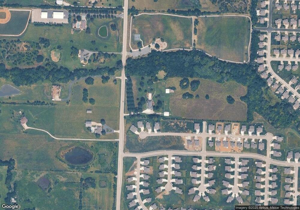
Map
Nearby Homes
- 1937 SW Hightown Dr
- 1908 SW Hightown Dr
- 1921 SW Hightown Dr
- 1917 SW Hightown Dr
- 1933 SW Merryman Dr
- 4421 SW Grindstone Cir
- 4420 SW Grindstone Cir
- 4414 SW Amethyst Dr
- 3904 SW Flintrock Dr
- 3916 SW Flintrock Dr
- 3917 SW Flintrock Dr
- Heather Plan at Napa Valley
- 1423 SW Fairfax Rd
- 3925 SW Flintrock Dr
- 3932 SW Flintrock Dr
- 3940 SW Flintrock Dr
- 1520 SW 41st St
- Serenade Plan at Stoney Creek - Bliss Collection
- Oasis Plan at Stoney Creek - Bliss Collection
- Devotion Plan at Stoney Creek - Bliss Collection
- 4301 SW Pryor Rd
- 1900 SW Hightown Dr
- 1812 SW Hightown Dr
- 4405 SW Grindstone Cir
- 4408 SW Grindstone Cir
- 1813 SW Hightown Dr
- 4409 SW Grindstone Cir
- 4404 SW Tanzanite Cir
- 4408 SW Tanzanite Cir
- 4200 SW Pryor Rd
- 4409 SW Tanzanite Cir
- 4409 SW Tanzanite Cir
- 4250 SW Pryor Rd
- 1712 SW Hightown Dr
- 1733 SW Georgetown Dr
- 1717 SW Hightown Dr
- 4404 SW Alabaster Cir
- 1416 SW Alabaster Cir
- 1708 SW Hightown Dr
- 1900 SW Merryman Dr