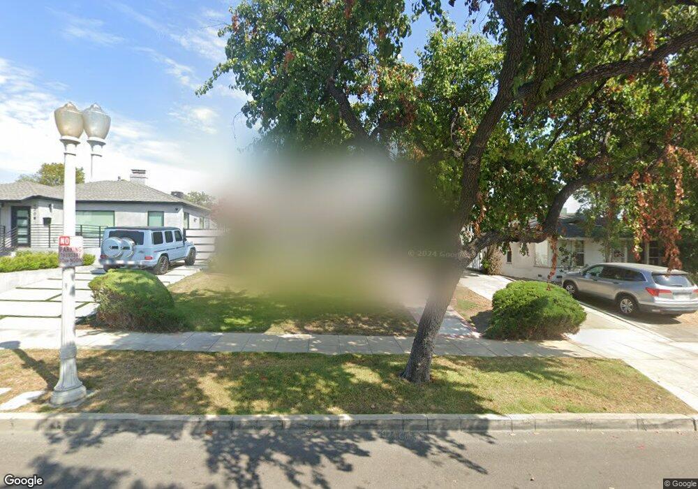
426 Birmingham Rd Burbank, CA 91504
Hillside District NeighborhoodEstimated Value: $1,335,000 - $1,429,000
2
Beds
2
Baths
1,495
Sq Ft
$920/Sq Ft
Est. Value
About This Home
This home is located at 426 Birmingham Rd, Burbank, CA 91504 and is currently estimated at $1,374,782, approximately $919 per square foot. 426 Birmingham Rd is a home located in Los Angeles County with nearby schools including Thomas Jefferson Elementary School, John Muir Middle School, and Burbank High School.
Ownership History
Date
Name
Owned For
Owner Type
Purchase Details
Closed on
Nov 17, 2014
Sold by
Engedal Anthony S and Engedal Danna R
Bought by
Engedal Living Trust
Current Estimated Value
Purchase Details
Closed on
Jun 1, 1999
Sold by
Engedal Anthony S
Bought by
Engedal Anthony S and Engedal Danna R
Home Financials for this Owner
Home Financials are based on the most recent Mortgage that was taken out on this home.
Original Mortgage
$227,600
Outstanding Balance
$58,988
Interest Rate
6.84%
Estimated Equity
$1,315,794
Purchase Details
Closed on
Aug 25, 1997
Sold by
Engedal Judy L
Bought by
Engedal Anthony S
Purchase Details
Closed on
May 2, 1994
Sold by
Friedmann Kurt A and Friedmann Gayle Marr
Bought by
Engedal Anthony S and Engedal Judy L
Home Financials for this Owner
Home Financials are based on the most recent Mortgage that was taken out on this home.
Original Mortgage
$235,988
Interest Rate
5.5%
Create a Home Valuation Report for This Property
The Home Valuation Report is an in-depth analysis detailing your home's value as well as a comparison with similar homes in the area
Home Values in the Area
Average Home Value in this Area
Purchase History
| Date | Buyer | Sale Price | Title Company |
|---|---|---|---|
| Engedal Living Trust | -- | None Available | |
| Engedal Anthony S | -- | First American Title Co | |
| Engedal Anthony S | -- | -- | |
| Engedal Anthony S | $262,500 | Commonwealth Land Title Co |
Source: Public Records
Mortgage History
| Date | Status | Borrower | Loan Amount |
|---|---|---|---|
| Open | Engedal Anthony S | $227,600 | |
| Previous Owner | Engedal Anthony S | $235,988 |
Source: Public Records
Tax History
| Year | Tax Paid | Tax Assessment Tax Assessment Total Assessment is a certain percentage of the fair market value that is determined by local assessors to be the total taxable value of land and additions on the property. | Land | Improvement |
|---|---|---|---|---|
| 2025 | $5,072 | $446,136 | $262,928 | $183,208 |
| 2024 | $5,072 | $437,389 | $257,773 | $179,616 |
| 2023 | $5,020 | $428,814 | $252,719 | $176,095 |
| 2022 | $4,796 | $420,407 | $247,764 | $172,643 |
| 2021 | $4,772 | $412,164 | $242,906 | $169,258 |
| 2019 | $4,583 | $399,941 | $235,702 | $164,239 |
| 2018 | $4,468 | $392,100 | $231,081 | $161,019 |
| 2016 | $4,236 | $376,875 | $222,108 | $154,767 |
| 2015 | $4,151 | $371,215 | $218,772 | $152,443 |
| 2014 | $4,146 | $363,944 | $214,487 | $149,457 |
Source: Public Records
Map
Nearby Homes
- 501 Birmingham Rd
- 505 Cambridge Dr
- 430 Tufts Ave
- 441 Dartmouth Rd
- 1814 Grismer Ave
- 1711 Grismer Ave Unit 72
- 1819 Richard St
- 1515 Grismer Ave Unit 102
- 1515 Grismer Ave Unit 302
- 1719 Landis St
- 2014 Peyton Ave
- 718 E Walnut Ave
- 637 E Fairmount Rd
- 1924 N Parish Place
- 227 E Burbank Blvd Unit C
- 1304 N Griffith Park Dr
- 902 E Walnut Ave
- 2615 Woodstock Ln
- 2316 N Parish Place
- 2227 N Lamer St
- 424 Birmingham Rd
- 430 Birmingham Rd
- 422 Birmingham Rd
- 434 Birmingham Rd
- 420 Birmingham Rd
- 427 Andover Dr
- 431 Andover Dr
- 421 Andover Dr
- 439 Andover Dr
- 410 Birmingham Rd
- 415 Andover Dr
- 429 Birmingham Rd
- 431 Birmingham Rd
- 425 Birmingham Rd
- 419 Birmingham Rd
- 435 Birmingham Rd
- 406 Birmingham Rd
- 506 Birmingham Rd
- 411 Andover Dr
- 411 Birmingham Rd
Your Personal Tour Guide
Ask me questions while you tour the home.