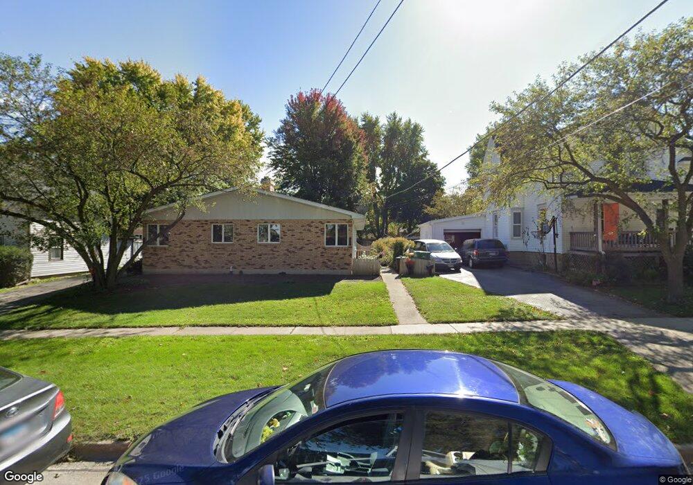
426 E Elm St Unit 428 Sycamore, IL 60178
Estimated Value: $297,000 - $336,000
1
Bed
2
Baths
1,764
Sq Ft
$178/Sq Ft
Est. Value
About This Home
This home is located at 426 E Elm St Unit 428, Sycamore, IL 60178 and is currently estimated at $313,986, approximately $177 per square foot. 426 E Elm St Unit 428 is a home located in DeKalb County with nearby schools including Sycamore High School, St Mary's Catholic School, and Cornerstone Christian Academy.
Ownership History
Date
Name
Owned For
Owner Type
Purchase Details
Closed on
Apr 11, 2008
Sold by
Carls Cindy M
Bought by
Walsh Brian and Walsh Nancy
Current Estimated Value
Home Financials for this Owner
Home Financials are based on the most recent Mortgage that was taken out on this home.
Original Mortgage
$138,500
Outstanding Balance
$88,282
Interest Rate
6.09%
Mortgage Type
New Conventional
Estimated Equity
$225,704
Purchase Details
Closed on
Apr 11, 2006
Sold by
Carls Jerroll E
Bought by
Carls Condy M
Create a Home Valuation Report for This Property
The Home Valuation Report is an in-depth analysis detailing your home's value as well as a comparison with similar homes in the area
Home Values in the Area
Average Home Value in this Area
Purchase History
| Date | Buyer | Sale Price | Title Company |
|---|---|---|---|
| Walsh Brian | $226,000 | -- | |
| Carls Condy M | $133,500 | -- | |
| Carls Cindy M | -- | -- | |
| Carls Jerroll E | -- | -- |
Source: Public Records
Mortgage History
| Date | Status | Borrower | Loan Amount |
|---|---|---|---|
| Open | Walsh Brian | $138,500 |
Source: Public Records
Tax History Compared to Growth
Tax History
| Year | Tax Paid | Tax Assessment Tax Assessment Total Assessment is a certain percentage of the fair market value that is determined by local assessors to be the total taxable value of land and additions on the property. | Land | Improvement |
|---|---|---|---|---|
| 2024 | $6,912 | $83,670 | $15,981 | $67,689 |
| 2023 | $6,912 | $76,404 | $14,593 | $61,811 |
| 2022 | $6,641 | $70,076 | $13,384 | $56,692 |
| 2021 | $6,347 | $65,787 | $12,565 | $53,222 |
| 2020 | $6,270 | $64,170 | $12,256 | $51,914 |
| 2019 | $6,177 | $62,764 | $11,987 | $50,777 |
| 2018 | $6,086 | $60,859 | $11,623 | $49,236 |
| 2017 | $5,954 | $58,451 | $11,163 | $47,288 |
| 2016 | $5,831 | $55,785 | $10,654 | $45,131 |
| 2015 | -- | $52,503 | $10,027 | $42,476 |
| 2014 | -- | $49,855 | $9,521 | $40,334 |
| 2013 | -- | $50,810 | $9,703 | $41,107 |
Source: Public Records
Map
Nearby Homes
- 459 E State St
- 434 E Exchange St Unit 2
- 211 E Ottawa St
- 113 E Ottawa St
- 321 N Locust St
- Lot 1 Route 23
- 412 W Elm St
- 418 Fairway Ln
- 916 Juniper Dr
- 919 Juniper Dr
- 924 Juniper Dr
- 927 Juniper Dr
- 935 Juniper Dr
- 1936 Galloway Ct
- 1929 Galloway Ct
- 1017 Juniper Dr
- 1025 Juniper Dr
- 1033 Juniper Dr
- 1049 Juniper Dr
- 732 Park Ave