427 Conrad Point Dr Lakeside, MT 59922
Estimated Value: $1,226,000 - $3,597,606
4
Beds
3
Baths
3,628
Sq Ft
$608/Sq Ft
Est. Value
About This Home
This home is located at 427 Conrad Point Dr, Lakeside, MT 59922 and is currently estimated at $2,204,152, approximately $607 per square foot. 427 Conrad Point Dr is a home located in Flathead County with nearby schools including Lakeside Elementary School, Somers Middle School, and Flathead High School.
Ownership History
Date
Name
Owned For
Owner Type
Purchase Details
Closed on
Mar 6, 2024
Sold by
Aaskam Llc
Bought by
Aasheim Glen David and Aasheim Mary Sue
Current Estimated Value
Home Financials for this Owner
Home Financials are based on the most recent Mortgage that was taken out on this home.
Original Mortgage
$897,000
Outstanding Balance
$881,365
Interest Rate
6.38%
Mortgage Type
New Conventional
Estimated Equity
$1,322,787
Create a Home Valuation Report for This Property
The Home Valuation Report is an in-depth analysis detailing your home's value as well as a comparison with similar homes in the area
Home Values in the Area
Average Home Value in this Area
Purchase History
| Date | Buyer | Sale Price | Title Company |
|---|---|---|---|
| Aasheim Glen David | $1,225,000 | Boston National Title |
Source: Public Records
Mortgage History
| Date | Status | Borrower | Loan Amount |
|---|---|---|---|
| Open | Aasheim Glen David | $897,000 |
Source: Public Records
Tax History Compared to Growth
Tax History
| Year | Tax Paid | Tax Assessment Tax Assessment Total Assessment is a certain percentage of the fair market value that is determined by local assessors to be the total taxable value of land and additions on the property. | Land | Improvement |
|---|---|---|---|---|
| 2025 | $18,802 | $2,949,590 | $0 | $0 |
| 2024 | $11,776 | $2,156,900 | $0 | $0 |
| 2023 | $11,696 | $2,156,900 | $0 | $0 |
| 2022 | $11,894 | $1,639,070 | $0 | $0 |
| 2021 | $12,894 | $1,639,070 | $0 | $0 |
| 2020 | $12,425 | $1,554,670 | $0 | $0 |
| 2019 | $11,948 | $1,554,670 | $0 | $0 |
| 2018 | $12,181 | $1,513,380 | $0 | $0 |
| 2017 | $10,666 | $1,513,380 | $0 | $0 |
| 2016 | $10,100 | $1,408,200 | $0 | $0 |
| 2015 | $10,466 | $1,408,200 | $0 | $0 |
| 2014 | $9,923 | $839,935 | $0 | $0 |
Source: Public Records
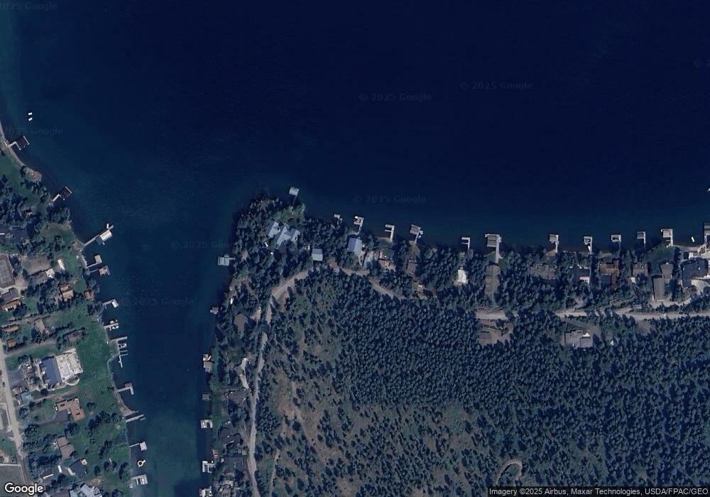
Map
Nearby Homes
- 500 Conrad Point Rd
- 480 Political Hill Rd
- 458 Political Hill Rd
- 454 Political Hill Rd
- 145 Conrad Point Dr
- 558 Bravehart Rd
- 98 Big Rock Ridge
- 230 Tamarack Woods Dr
- 35 Lakeside Ave
- 38 Lakeside Ave
- 103 Tamarack Woods Dr
- 253 Tamarack Terrace
- 36 Angel Ridge Rd
- 360 Ridge Line Dr
- 149 Monet Rd
- 150 Adams St Unit 4
- 7175 Us Highway 93 S Unit 4-104
- 168 Angel Point Preserve
- 207 Angel Point Preserve
- 500 Blacktail Heights Rd
- 419 Conrad Point Dr
- 435 Conrad Point Dr
- 411 Conrad Point Dr
- 443 Conrad Point Dr
- 403 Conrad Point Dr
- 459 Conrad Point Dr
- 385 Conrad Point Dr
- 467 Conrad Point Dr
- 365 Conrad Point Dr
- 345 Conrad Point Dr
- 497 Conrad Point Dr
- 335 Conrad Point Dr
- 497 Conrad Point Dr
- 325 Conrad Point Dr
- 505 Conrad Point Dr
- 505 Conrad Point Dr
- 500 Conrad Point Dr
- 315 Conrad Point Dr
- 509 Conrad Point Dr
- 309 Conrad Point Dr