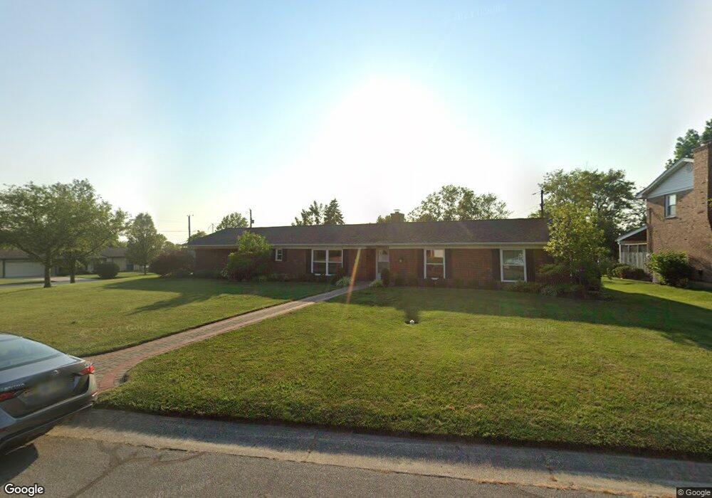
427 N Sands Ave Monroe, OH 45050
Estimated Value: $302,000 - $328,000
3
Beds
3
Baths
1,900
Sq Ft
$166/Sq Ft
Est. Value
About This Home
This home is located at 427 N Sands Ave, Monroe, OH 45050 and is currently estimated at $315,773, approximately $166 per square foot. 427 N Sands Ave is a home located in Butler County with nearby schools including Monroe Primary School, Monroe Elementary School, and Monroe Junior High School.
Ownership History
Date
Name
Owned For
Owner Type
Purchase Details
Closed on
Dec 21, 2004
Sold by
Baldwin Mildred Evelyn
Bought by
Perkins Aaron and Perkins Rebecca
Current Estimated Value
Home Financials for this Owner
Home Financials are based on the most recent Mortgage that was taken out on this home.
Original Mortgage
$108,000
Interest Rate
5.78%
Mortgage Type
Purchase Money Mortgage
Create a Home Valuation Report for This Property
The Home Valuation Report is an in-depth analysis detailing your home's value as well as a comparison with similar homes in the area
Home Values in the Area
Average Home Value in this Area
Purchase History
| Date | Buyer | Sale Price | Title Company |
|---|---|---|---|
| Perkins Aaron | $146,000 | -- |
Source: Public Records
Mortgage History
| Date | Status | Borrower | Loan Amount |
|---|---|---|---|
| Closed | Perkins Aaron | $108,000 |
Source: Public Records
Tax History Compared to Growth
Tax History
| Year | Tax Paid | Tax Assessment Tax Assessment Total Assessment is a certain percentage of the fair market value that is determined by local assessors to be the total taxable value of land and additions on the property. | Land | Improvement |
|---|---|---|---|---|
| 2024 | $3,667 | $80,890 | $12,290 | $68,600 |
| 2023 | $3,619 | $81,790 | $12,290 | $69,500 |
| 2022 | $2,846 | $56,240 | $12,290 | $43,950 |
| 2021 | $2,752 | $56,240 | $12,290 | $43,950 |
| 2020 | $2,851 | $56,240 | $12,290 | $43,950 |
| 2019 | $3,273 | $47,730 | $12,320 | $35,410 |
| 2018 | $2,611 | $47,730 | $12,320 | $35,410 |
| 2017 | $2,666 | $47,730 | $12,320 | $35,410 |
| 2016 | $2,491 | $42,740 | $12,320 | $30,420 |
| 2015 | $2,463 | $42,740 | $12,320 | $30,420 |
| 2014 | $2,486 | $42,740 | $12,320 | $30,420 |
| 2013 | $2,486 | $42,650 | $12,320 | $30,330 |
Source: Public Records
Map
Nearby Homes
- 180 Wexford Dr
- 591 Fox Run Place
- 840 Heritage Green Dr Unit 4204
- 931 Heritage Green Dr Unit 9204
- 929 Heritage Green Dr Unit 9304
- 634 Heritage Green Dr Unit 3305
- 416 Heritage Green Dr Unit 2304
- 63 Ridge Wood Dr
- 496 Todhunter Rd
- 195 Brittony Woods Dr
- 242 Beckwourth Dr
- 404 Brookhurst Dr
- 46 Ridge Wood Dr
- 44 Ridge Wood Dr
- 302 Kershaw Ct
- 107 Hanford Ln
- 100 N Main St
- 32 W Elm St
- 254 Mason Ave
- 225 Mason Ave
- 130 Winston Ln
- 437 N Sands Ave
- 1086 N Sands Ave
- 121 Winston Ln
- 134 Winston Ln
- 133 Winston La
- 127 Winston Ln
- 426 N Sands Ave
- 432 N Sands Ave
- 420 N Sands Ave
- 133 Winston Ln
- 438 N Sands Ave
- 142 Winston Ln
- 137 Winston Ln
- 412 N Sands Ave
- 444 N Sands Ave
- 133 Deneen Ave
- 447 N Sands Ave
- 137 Deneen Ave
- 141 Winston Ln