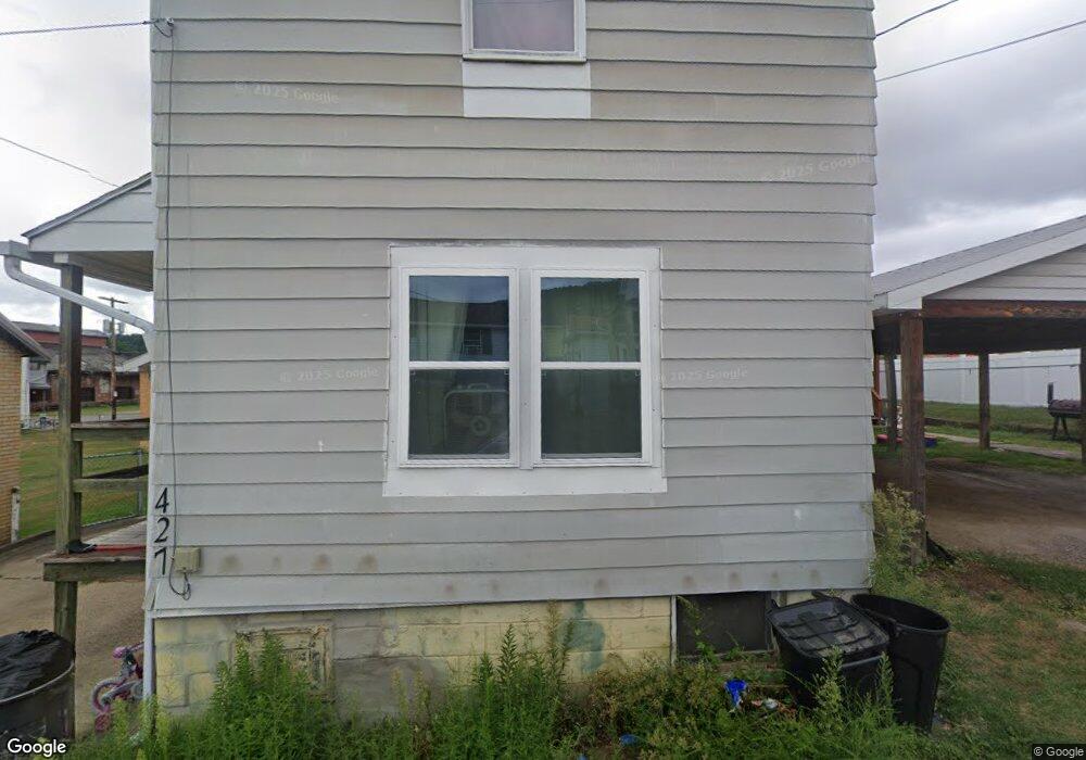
427 Robinson St Kittanning, PA 16201
Estimated Value: $59,000 - $90,000
2
Beds
1
Bath
928
Sq Ft
$79/Sq Ft
Est. Value
About This Home
This home is located at 427 Robinson St, Kittanning, PA 16201 and is currently estimated at $72,993, approximately $78 per square foot. 427 Robinson St is a home located in Armstrong County with nearby schools including West Hills Intermediate School, West Hills Primary School, and Grace Christian School.
Ownership History
Date
Name
Owned For
Owner Type
Purchase Details
Closed on
May 13, 2022
Sold by
Re-Spec Llc
Bought by
Walter Matthew
Current Estimated Value
Purchase Details
Closed on
Mar 30, 2021
Sold by
Henry William R and Henry Lance B
Bought by
Re Spec Llc
Home Financials for this Owner
Home Financials are based on the most recent Mortgage that was taken out on this home.
Original Mortgage
$22,734
Interest Rate
3%
Mortgage Type
Future Advance Clause Open End Mortgage
Create a Home Valuation Report for This Property
The Home Valuation Report is an in-depth analysis detailing your home's value as well as a comparison with similar homes in the area
Home Values in the Area
Average Home Value in this Area
Purchase History
| Date | Buyer | Sale Price | Title Company |
|---|---|---|---|
| Walter Matthew | $45,000 | Colonial Title | |
| Re Spec Llc | $30,313 | Brokers Settlement Service |
Source: Public Records
Mortgage History
| Date | Status | Borrower | Loan Amount |
|---|---|---|---|
| Previous Owner | Re Spec Llc | $22,734 |
Source: Public Records
Tax History Compared to Growth
Tax History
| Year | Tax Paid | Tax Assessment Tax Assessment Total Assessment is a certain percentage of the fair market value that is determined by local assessors to be the total taxable value of land and additions on the property. | Land | Improvement |
|---|---|---|---|---|
| 2025 | $970 | $8,780 | $5,280 | $3,500 |
| 2024 | $926 | $8,780 | $5,280 | $3,500 |
| 2023 | $625 | $8,780 | $5,280 | $3,500 |
| 2022 | $625 | $8,780 | $5,280 | $3,500 |
| 2021 | $1,252 | $14,840 | $8,310 | $6,530 |
| 2020 | $1,252 | $14,840 | $8,310 | $6,530 |
| 2019 | $1,252 | $14,840 | $8,310 | $6,530 |
| 2018 | $1,251 | $11,875 | $2,545 | $9,330 |
| 2017 | $1,244 | $14,840 | $8,310 | $6,530 |
| 2016 | $1,244 | $14,840 | $8,310 | $6,530 |
| 2015 | $1,104 | $14,840 | $8,310 | $6,530 |
| 2014 | $1,104 | $14,840 | $8,310 | $6,530 |
Source: Public Records
Map
Nearby Homes
- 435 1/2 Reesman Dr Unit 2
- 139 Oak Ave
- 121 Oak Ave
- 428 Dewey St
- 143 N Grant Ave
- 166 Clearfield Pike
- 114 S Mckean St
- 509 N Jefferson St
- 119 6th St
- 422-424 Highland Ave
- 935 Orr Ave
- 1017 Johnston Ave
- 1033 Wilson Ave
- 418 Pine Hill Rd
- 238 Allegheny Ave
- 226 Ridge Ave
- 349 Franklin Ave
- 228 Arthur St
- 514 Southern Ave
- 293 Troy Hill Rd
- 430-432 Reynolds Ave
- 424 Reynolds Ave
- 430 Reynolds Ave Unit 432
- 137 Kelly St
- 426 Reynolds Ave Unit 428
- 430 Reynolds Ave
- 135 Kelly St
- 274 Dwight St
- 434 Reynolds Ave Unit 436
- 428 Reynolds Ave
- 133 Kelly St
- 271 Dwight St
- 269 Dwight St
- 272 Dwight St
- 131 Kelly St
- 438 Reynolds Ave Unit 440
- 138 Kelly St
- 12 Dwight St
- 126 Kelly St
- 126 Kelly St