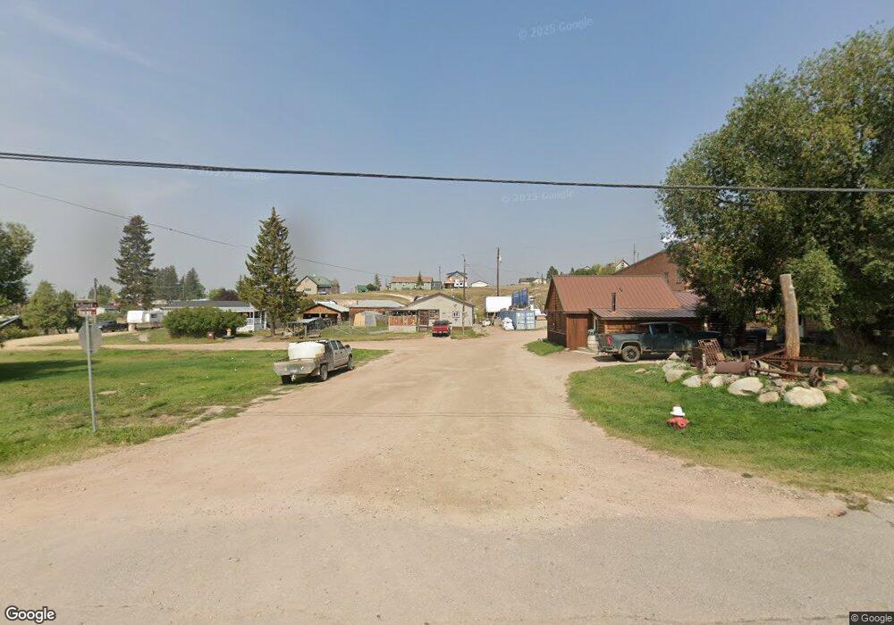
427 W Sutter St Philipsburg, MT 59858
Estimated Value: $300,767 - $377,000
3
Beds
2
Baths
1,439
Sq Ft
$233/Sq Ft
Est. Value
About This Home
This home is located at 427 W Sutter St, Philipsburg, MT 59858 and is currently estimated at $334,922, approximately $232 per square foot. 427 W Sutter St is a home with nearby schools including Philipsburg Elementary School, Philipsburg Junior High School, and Granite High School.
Ownership History
Date
Name
Owned For
Owner Type
Purchase Details
Closed on
Jan 13, 2015
Bought by
Harding Vicki
Current Estimated Value
Home Financials for this Owner
Home Financials are based on the most recent Mortgage that was taken out on this home.
Original Mortgage
$10,871
Outstanding Balance
$8,351
Interest Rate
3.92%
Mortgage Type
New Conventional
Estimated Equity
$326,571
Purchase Details
Closed on
Jan 30, 1998
Bought by
Harding David E and Harding Vicki
Create a Home Valuation Report for This Property
The Home Valuation Report is an in-depth analysis detailing your home's value as well as a comparison with similar homes in the area
Home Values in the Area
Average Home Value in this Area
Purchase History
| Date | Buyer | Sale Price | Title Company |
|---|---|---|---|
| Harding Vicki | -- | -- | |
| Harding David E | -- | -- |
Source: Public Records
Mortgage History
| Date | Status | Borrower | Loan Amount |
|---|---|---|---|
| Open | Harding Vicki | $10,871 | |
| Closed | Harding Vicki | $80,528 |
Source: Public Records
Tax History Compared to Growth
Tax History
| Year | Tax Paid | Tax Assessment Tax Assessment Total Assessment is a certain percentage of the fair market value that is determined by local assessors to be the total taxable value of land and additions on the property. | Land | Improvement |
|---|---|---|---|---|
| 2025 | $1,056 | $294,400 | $0 | $0 |
| 2024 | $1,835 | $265,900 | $0 | $0 |
| 2023 | $1,709 | $265,900 | $0 | $0 |
| 2022 | $1,088 | $117,791 | $0 | $0 |
| 2021 | $1,034 | $117,791 | $0 | $0 |
| 2020 | $960 | $94,761 | $0 | $0 |
| 2019 | $958 | $94,761 | $0 | $0 |
| 2018 | $878 | $85,195 | $0 | $0 |
| 2017 | $752 | $85,195 | $0 | $0 |
| 2016 | $742 | $69,700 | $0 | $0 |
| 2015 | $648 | $69,700 | $0 | $0 |
| 2014 | $830 | $48,436 | $0 | $0 |
Source: Public Records
Map
Nearby Homes
- 412 W Broadway St
- NHN N Brown St
- 17-18 Beta St
- 215 Belmont St
- 131 Carter Ave
- 109 W Harrison Ave
- 204 E Harrison Ave
- 24 S Sun Bear Dr
- 507 S Montgomery St
- 3793 Mt Highway 1
- Tracts 87 & 88 Whiskey Flats
- 126 N St and C Pine St
- 1003 Front St
- Tract 64 Whiskey Flats
- Tract 12a Whiskey Flats
- Tract 71 Whiskey Flats
- Tract 75 Whiskey Flats
- Tract 8 Whiskey Flats
- Tract 13a Whiskey Flats
- 121 Granite Rd
- 444 W Sutter St
- 170 Black Pine Rd
- 430 Alpha St
- 505 Cedar St
- 423 W Broadway St
- 447 W Sutter St
- 429 Broadway
- 415 W Broadway St
- 506 W Broadway St
- 504 W Broadway St
- 121 N Brown St
- 402 Alpha St
- 420,430,43 Alpha St
- 411 W Broadway St
- 409 W Broadway St
- 516 E Broadway St
- 516 W Broadway St
- 433 Alpha St
- 405 Alpha St
- 405 W Broadway St
