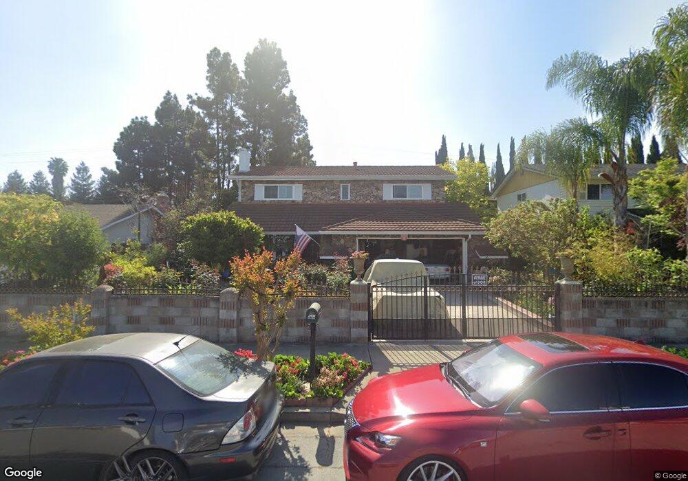
4280 Ogden Dr Fremont, CA 94538
Sundale NeighborhoodEstimated Value: $1,497,000 - $1,672,000
3
Beds
3
Baths
2,117
Sq Ft
$736/Sq Ft
Est. Value
About This Home
This home is located at 4280 Ogden Dr, Fremont, CA 94538 and is currently estimated at $1,558,314, approximately $736 per square foot. 4280 Ogden Dr is a home located in Alameda County with nearby schools including Brier Elementary School, G.M. Walters Middle School, and John F. Kennedy High School.
Ownership History
Date
Name
Owned For
Owner Type
Purchase Details
Closed on
Apr 6, 2015
Sold by
Perez Maria Isabel D and Golaw Maria Isabel
Bought by
Perez Maria Isabel D and The Perez Living Trust
Current Estimated Value
Purchase Details
Closed on
Nov 11, 1993
Sold by
Ulanday Teofilo B
Bought by
Perez Maria Isabel D
Home Financials for this Owner
Home Financials are based on the most recent Mortgage that was taken out on this home.
Original Mortgage
$110,900
Interest Rate
6.88%
Create a Home Valuation Report for This Property
The Home Valuation Report is an in-depth analysis detailing your home's value as well as a comparison with similar homes in the area
Home Values in the Area
Average Home Value in this Area
Purchase History
| Date | Buyer | Sale Price | Title Company |
|---|---|---|---|
| Perez Maria Isabel D | -- | None Available | |
| Perez Maria Isabel D | -- | Fidelity National Title Ins |
Source: Public Records
Mortgage History
| Date | Status | Borrower | Loan Amount |
|---|---|---|---|
| Closed | Perez Maria Isabel D | $110,900 |
Source: Public Records
Tax History Compared to Growth
Tax History
| Year | Tax Paid | Tax Assessment Tax Assessment Total Assessment is a certain percentage of the fair market value that is determined by local assessors to be the total taxable value of land and additions on the property. | Land | Improvement |
|---|---|---|---|---|
| 2025 | $2,351 | $137,850 | $15,936 | $128,914 |
| 2024 | $2,351 | $135,011 | $15,624 | $126,387 |
| 2023 | $2,268 | $139,226 | $15,317 | $123,909 |
| 2022 | $2,211 | $129,497 | $15,017 | $121,480 |
| 2021 | $2,163 | $126,821 | $14,723 | $119,098 |
| 2020 | $2,080 | $132,450 | $14,572 | $117,878 |
| 2019 | $2,060 | $129,853 | $14,286 | $115,567 |
| 2018 | $2,015 | $127,307 | $14,006 | $113,301 |
| 2017 | $1,965 | $124,811 | $13,731 | $111,080 |
| 2016 | $1,916 | $122,365 | $13,462 | $108,903 |
| 2015 | $1,877 | $120,527 | $13,260 | $107,267 |
| 2014 | $1,834 | $118,166 | $13,000 | $105,166 |
Source: Public Records
Map
Nearby Homes
- 39993 Fremont Blvd Unit 102
- 3909 Stevenson Blvd Unit 402
- 4555 Stevenson Blvd
- 40116 Crockett St
- 4600 Nelson St
- 3695 Stevenson Blvd Unit E206
- 4453 Porter St
- 3583 Madison Common
- 3518 Madison Common
- 4421 Cahill St
- 4737 Boone Dr
- 39530 Dorrington Ct
- 3454 Dayton Common
- 39850 Sundale Dr
- 3455 Gilman Common
- 40702 Greystone Terrace Unit 9
- 4840 Piper St
- 39090 Presidio Way Unit 237
- 4214 Providence Terrace
- 39134 Memorial St