4283 Highway 117 N Colfax, IA 50054
Estimated Value: $322,000 - $335,370
4
Beds
2
Baths
1,341
Sq Ft
$244/Sq Ft
Est. Value
About This Home
This home is located at 4283 Highway 117 N, Colfax, IA 50054 and is currently estimated at $327,593, approximately $244 per square foot. 4283 Highway 117 N is a home located in Jasper County with nearby schools including Colfax-Mingo Elementary School and Colfax-Mingo High School.
Ownership History
Date
Name
Owned For
Owner Type
Purchase Details
Closed on
Oct 30, 2025
Sold by
Maher Family Farm Llc
Bought by
Borts Jorden and Borts Kalyn
Current Estimated Value
Purchase Details
Closed on
Jul 1, 2024
Sold by
Maher Robert D and Maher Lila A
Bought by
Robert D Maher And Lila A Maher Revocable Tru
Create a Home Valuation Report for This Property
The Home Valuation Report is an in-depth analysis detailing your home's value as well as a comparison with similar homes in the area
Home Values in the Area
Average Home Value in this Area
Purchase History
| Date | Buyer | Sale Price | Title Company |
|---|---|---|---|
| Borts Jorden | $82,500 | None Listed On Document | |
| Robert D Maher And Lila A Maher Revocable Tru | -- | None Listed On Document |
Source: Public Records
Tax History Compared to Growth
Tax History
| Year | Tax Paid | Tax Assessment Tax Assessment Total Assessment is a certain percentage of the fair market value that is determined by local assessors to be the total taxable value of land and additions on the property. | Land | Improvement |
|---|---|---|---|---|
| 2025 | $3,214 | $309,280 | $76,000 | $233,280 |
| 2024 | $3,214 | $256,660 | $50,070 | $206,590 |
| 2023 | $3,202 | $256,660 | $50,070 | $206,590 |
| 2022 | $2,932 | $203,250 | $50,070 | $153,180 |
| 2021 | $2,808 | $198,980 | $50,070 | $148,910 |
| 2020 | $2,808 | $176,570 | $39,620 | $136,950 |
| 2019 | $2,614 | $152,960 | $0 | $0 |
| 2018 | $2,614 | $152,960 | $0 | $0 |
| 2017 | $2,622 | $152,960 | $0 | $0 |
| 2016 | $2,622 | $152,960 | $0 | $0 |
| 2015 | $2,618 | $152,960 | $0 | $0 |
| 2014 | $2,454 | $152,960 | $0 | $0 |
Source: Public Records
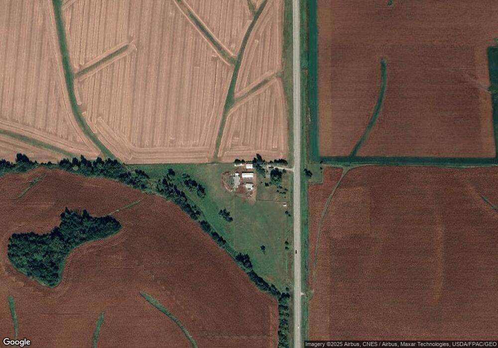
Map
Nearby Homes
- 103 Everett Cir
- 105 Everett Cir
- 12227 N 59th Ave W
- 12210 N 59th Ave W
- 303 S Station St
- 114 S Station St
- HWY 117 at Intersection of Fleet Ave
- W 120th St S
- 00 W 120th St S
- 11213 Orchard Ave
- 0 W 120th St S
- 6839 Center St
- 1096 W 124th St S
- 300 E Front St
- 108 N West St
- 200 Jefferson St
- 0000 Lincoln St
- 119 W Washington St
- 0000 W 96th St N
- 5280 Fairview Ln
- 4238 W 112th St N
- 10766 N 51st Ave W
- 4794 W 112th St N
- 4794 W 112th St N
- 4828 W 112th St N
- 10604 N 35th Ave W
- 3676 W 112th St N
- 11034 N 51st Ave W
- 5024 W 112 1/2 St N
- 11260 Fall Ave
- 10474 N 35th Ave W
- 11310 Fall Ave
- 5027 W 112 1/2 St N
- 4599 W 102nd St N
- 5077 W 112 1/2 St N
- 3135 Highway 117 N
- 4033 W 102nd St N
- 11212 N 51st Ave W
- 5162 W 112th St N
- 11374 Fall Ave