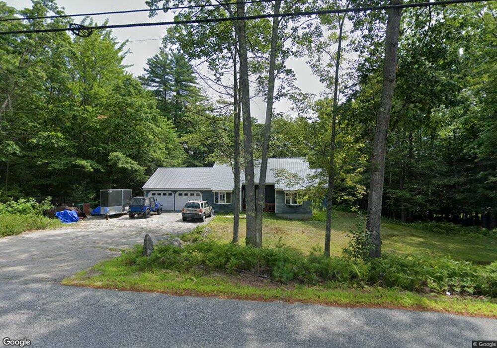
429 Allard Hill Rd Conway, NH 03818
Estimated Value: $382,000 - $463,000
3
Beds
2
Baths
1,364
Sq Ft
$308/Sq Ft
Est. Value
About This Home
This home is located at 429 Allard Hill Rd, Conway, NH 03818 and is currently estimated at $420,306, approximately $308 per square foot. 429 Allard Hill Rd is a home located in Carroll County with nearby schools including Madison Elementary School, Robert Frost Charter School, and Cady Memorial School.
Ownership History
Date
Name
Owned For
Owner Type
Purchase Details
Closed on
Dec 19, 2011
Sold by
Maiato Kelly Beth and Maiato Michael Gilbert
Bought by
Frechette David S
Current Estimated Value
Home Financials for this Owner
Home Financials are based on the most recent Mortgage that was taken out on this home.
Original Mortgage
$145,222
Outstanding Balance
$99,342
Interest Rate
4.01%
Mortgage Type
Purchase Money Mortgage
Estimated Equity
$320,964
Create a Home Valuation Report for This Property
The Home Valuation Report is an in-depth analysis detailing your home's value as well as a comparison with similar homes in the area
Home Values in the Area
Average Home Value in this Area
Purchase History
| Date | Buyer | Sale Price | Title Company |
|---|---|---|---|
| Frechette David S | $151,800 | -- |
Source: Public Records
Mortgage History
| Date | Status | Borrower | Loan Amount |
|---|---|---|---|
| Open | Frechette David S | $145,222 |
Source: Public Records
Tax History Compared to Growth
Tax History
| Year | Tax Paid | Tax Assessment Tax Assessment Total Assessment is a certain percentage of the fair market value that is determined by local assessors to be the total taxable value of land and additions on the property. | Land | Improvement |
|---|---|---|---|---|
| 2024 | $3,115 | $197,500 | $55,600 | $141,900 |
| 2023 | $3,354 | $197,500 | $55,600 | $141,900 |
| 2022 | $3,149 | $203,300 | $55,600 | $147,700 |
| 2021 | $2,799 | $203,300 | $55,600 | $147,700 |
| 2020 | $3,110 | $203,300 | $55,600 | $147,700 |
| 2019 | $4,928 | $163,200 | $50,100 | $113,100 |
| 2018 | $3,089 | $163,200 | $50,100 | $113,100 |
| 2017 | $2,758 | $163,200 | $50,100 | $113,100 |
| 2015 | $2,694 | $163,200 | $50,100 | $113,100 |
| 2014 | $2,759 | $172,900 | $50,100 | $122,800 |
| 2013 | $2,728 | $172,900 | $50,100 | $122,800 |
Source: Public Records
Map
Nearby Homes
- 17 Skyline Way
- 149 Allard Hill Rd
- 26 Island Dr
- 62 Appenvel Way
- 148 Brenner Dr
- 00 Brenner Dr
- 68 Eidelweiss Dr
- 19 W Bergamo Rd
- 52 Appenvel Way
- 369 Tasker Hill Rd
- 137 Modock Hill Rd
- 15 Acadia Way
- 15 Klausen Rd
- 8 Grimsel Rd
- 21 Little Shore Dr
- 592 Eaton Rd
- 20 Adelboden Way
- 74 Garmish Rd
- -- Landsdown Ln
- 26 Saint Moritz Dr
- 483 Allard Hill Rd
- 0 Skyline Unit 4683356
- 0 Skyline Unit 12 4494273
- 0 Skyline Unit 4953608
- 0 Skyline Unit 12 4945312
- 0 Skyline Unit 9 4832560
- 401 Allard Hill Rd
- 0 Skyline Unit 10 4494271
- 455 Allard Hill Rd
- 97 Skyline Way
- 0 Skyline Unit 8 4494269
- 418 Allard Hill Rd
- 0 Skyline Unit 6 4494268
- 25 Deer Trot Ln
- 120 Skyline Way
- 73 Madeline Way
- 476 Allard Hill Rd
- 0 Skyline Unit 14 4494277
- 488 Allard Hill Rd
- 511 Allard Hill Rd