Estimated Value: $288,000 - $404,000
--
Bed
2
Baths
1,688
Sq Ft
$207/Sq Ft
Est. Value
About This Home
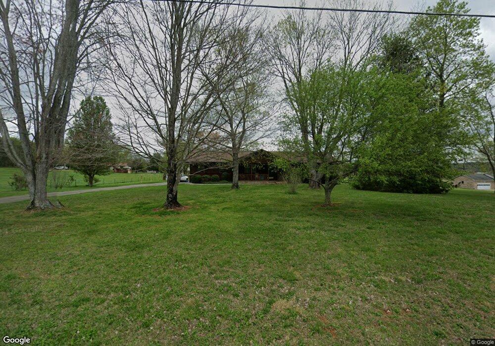
This home is located at 429 N Burn Rd, Niota, TN 37826 and is currently estimated at $350,117, approximately $207 per square foot. 429 N Burn Rd is a home located in McMinn County.
Ownership History
Date
Name
Owned For
Owner Type
Purchase Details
Closed on
Oct 24, 2001
Sold by
Walgers Leo A and Walgers Cynthia A
Bought by
Boggess James
Current Estimated Value
Home Financials for this Owner
Home Financials are based on the most recent Mortgage that was taken out on this home.
Original Mortgage
$114,000
Outstanding Balance
$44,134
Interest Rate
6.74%
Estimated Equity
$305,983
Purchase Details
Closed on
Jul 15, 1998
Sold by
Swenson Jerome Scott
Bought by
Waltaer Leo Alan
Purchase Details
Closed on
Mar 26, 1987
Bought by
Swenson Jerome Scott and Swenson Mary
Create a Home Valuation Report for This Property
The Home Valuation Report is an in-depth analysis detailing your home's value as well as a comparison with similar homes in the area
Home Values in the Area
Average Home Value in this Area
Purchase History
| Date | Buyer | Sale Price | Title Company |
|---|---|---|---|
| Boggess James | $114,000 | -- | |
| Waltaer Leo Alan | $107,000 | -- | |
| Swenson Jerome Scott | -- | -- |
Source: Public Records
Mortgage History
| Date | Status | Borrower | Loan Amount |
|---|---|---|---|
| Open | Swenson Jerome Scott | $114,000 |
Source: Public Records
Tax History Compared to Growth
Tax History
| Year | Tax Paid | Tax Assessment Tax Assessment Total Assessment is a certain percentage of the fair market value that is determined by local assessors to be the total taxable value of land and additions on the property. | Land | Improvement |
|---|---|---|---|---|
| 2025 | $1,441 | $84,675 | $0 | $0 |
| 2024 | $1,441 | $74,025 | $19,200 | $54,825 |
| 2023 | $1,441 | $74,025 | $19,200 | $54,825 |
| 2022 | $1,415 | $47,850 | $6,025 | $41,825 |
| 2021 | $1,319 | $47,850 | $6,025 | $41,825 |
| 2020 | $1,319 | $47,850 | $6,025 | $41,825 |
| 2019 | $1,082 | $39,250 | $6,025 | $33,225 |
| 2018 | $1,003 | $39,250 | $6,025 | $33,225 |
| 2017 | $911 | $34,600 | $5,750 | $28,850 |
| 2016 | $911 | $34,600 | $5,750 | $28,850 |
| 2015 | -- | $34,600 | $5,750 | $28,850 |
| 2014 | $911 | $34,600 | $0 | $0 |
Source: Public Records
Map
Nearby Homes
- 307 N Burn Rd
- 612 Pond Hill Rd
- 216 Crescent Cir
- 220 Crescent Cir
- 224 Crescent Cir
- 228 Crescent Cir
- 232 Crescent Cir
- 236 Crescent Cir
- Aria Plan at Crescent Ridge
- Cali Plan at Crescent Ridge
- Lewis Plan at Crescent Ridge
- Sullivan Plan at Crescent Ridge
- Belhaven Plan at Crescent Ridge
- Wyeth Plan at Crescent Ridge
- Freeport Plan at Crescent Ridge
- Penwell Plan at Crescent Ridge
- Curtis Plan at Crescent Ridge
- 273 Crescent Cir
- 148 Crescent Cir
- 1 Magnolia St
- 430 N Burn Rd
- 419 N Burn Rd
- 609 N Burn Rd
- 602 N Burn Rd
- 411 N Burn Rd
- 642 N Burn Rd
- 507 N Burn Rd
- 702 N Burn Rd
- 706 N Burn Rd
- 205 Pond Hill Rd
- 401 N Burn Rd
- 810 N Burn Rd
- 4 Country Club Rd
- 301 Pond Hill Rd
- 405 N Burn Rd
- 845 N Burn Rd
- 816 N Burn Rd
- 714 Union McMinn Rd
- 712 Union McMinn Rd
- 902 N Burn Rd