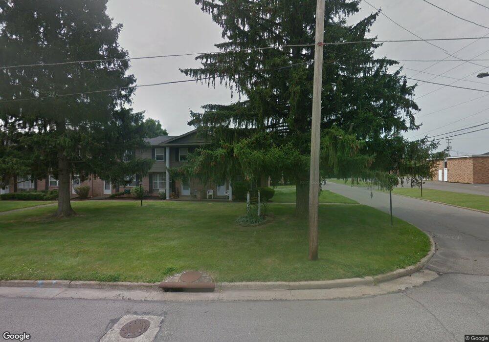
4291 New Rd Youngstown, OH 44515
Austintown NeighborhoodEstimated Value: $94,000 - $163,000
3
Beds
1
Bath
1,144
Sq Ft
$101/Sq Ft
Est. Value
About This Home
This home is located at 4291 New Rd, Youngstown, OH 44515 and is currently estimated at $115,789, approximately $101 per square foot. 4291 New Rd is a home located in Mahoning County with nearby schools including Austintown Elementary School, Austintown Intermediate School, and Austintown Middle School.
Ownership History
Date
Name
Owned For
Owner Type
Purchase Details
Closed on
Feb 14, 2023
Sold by
Nagy Joann
Bought by
Jo Ann Nagy 1998 Living Trust and Kempe
Current Estimated Value
Purchase Details
Closed on
Jan 26, 2023
Sold by
Jo Ann Nagy 1998 Living Trust
Bought by
Booth Janet D
Purchase Details
Closed on
Dec 5, 2018
Bought by
Kempe Richard Trustee
Purchase Details
Closed on
May 9, 2000
Sold by
Turnbull James W and Turnbull Kimberly S
Bought by
Nagy William G and Nagy Joann
Purchase Details
Closed on
Oct 3, 1995
Sold by
Carducci Patricia
Bought by
Turnbull James W and Turnbull Kimberly S
Home Financials for this Owner
Home Financials are based on the most recent Mortgage that was taken out on this home.
Original Mortgage
$29,454
Interest Rate
8.13%
Mortgage Type
New Conventional
Purchase Details
Closed on
Jul 6, 1977
Bought by
Wenzel Patricia L
Create a Home Valuation Report for This Property
The Home Valuation Report is an in-depth analysis detailing your home's value as well as a comparison with similar homes in the area
Home Values in the Area
Average Home Value in this Area
Purchase History
| Date | Buyer | Sale Price | Title Company |
|---|---|---|---|
| Jo Ann Nagy 1998 Living Trust | -- | -- | |
| Booth Janet D | -- | None Listed On Document | |
| Kempe Richard Trustee | -- | -- | |
| Nagy William G | $42,000 | -- | |
| Turnbull James W | $32,000 | -- | |
| Wenzel Patricia L | -- | -- |
Source: Public Records
Mortgage History
| Date | Status | Borrower | Loan Amount |
|---|---|---|---|
| Previous Owner | Turnbull James W | $29,454 |
Source: Public Records
Tax History Compared to Growth
Tax History
| Year | Tax Paid | Tax Assessment Tax Assessment Total Assessment is a certain percentage of the fair market value that is determined by local assessors to be the total taxable value of land and additions on the property. | Land | Improvement |
|---|---|---|---|---|
| 2024 | $655 | $24,070 | $1,680 | $22,390 |
| 2023 | $1,112 | $24,070 | $1,680 | $22,390 |
| 2022 | $793 | $13,740 | $1,680 | $12,060 |
| 2021 | $794 | $13,740 | $1,680 | $12,060 |
| 2020 | $797 | $13,740 | $1,680 | $12,060 |
| 2019 | $731 | $11,450 | $1,400 | $10,050 |
| 2018 | $705 | $11,450 | $1,400 | $10,050 |
| 2017 | $702 | $11,450 | $1,400 | $10,050 |
| 2016 | $724 | $11,690 | $1,400 | $10,290 |
| 2015 | $702 | $11,690 | $1,400 | $10,290 |
| 2014 | $706 | $11,690 | $1,400 | $10,290 |
| 2013 | $699 | $11,690 | $1,400 | $10,290 |
Source: Public Records
Map
Nearby Homes
- 4314 Kerrybrook Dr
- 4235 Patricia Ave
- 4262 Pembrook Rd
- 4234 Burkey Rd
- 4241 Wedgewood Dr
- 4289 Wedgewood Dr
- 4102 Burkey Rd
- 3890 Ayrshire Dr
- 532 Westgate Blvd
- 3852 Edinburgh Dr
- 3913 Claridge Dr
- 40 Woodleigh Ct
- 2414 Ardenwood Place
- 3972 Artmar Dr
- 2493 Frostwood Dr
- 603 S Raccoon Rd Unit 14
- 603 S Raccoon Rd Unit 9
- 603 S Raccoon Rd Unit 61
- 2430 Redgate Ln
- 2699 Hamman Dr