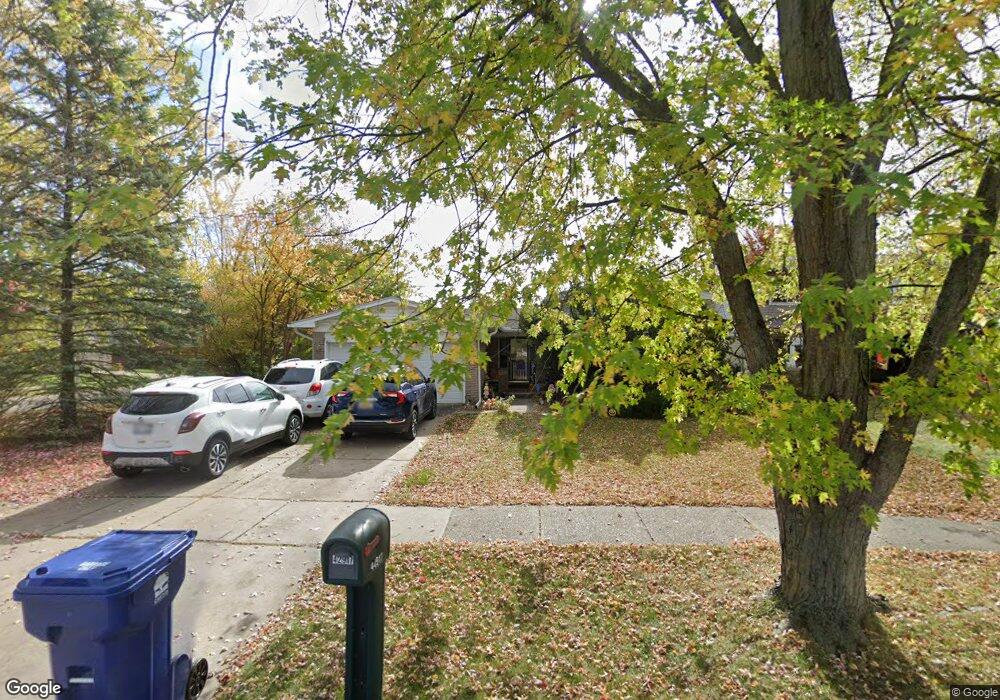
42917 Saxony Rd Canton, MI 48187
Estimated Value: $373,275 - $430,000
--
Bed
2
Baths
1,986
Sq Ft
$206/Sq Ft
Est. Value
About This Home
This home is located at 42917 Saxony Rd, Canton, MI 48187 and is currently estimated at $408,319, approximately $205 per square foot. 42917 Saxony Rd is a home located in Wayne County with nearby schools including Canton High School, Salem High School, and East Middle School.
Ownership History
Date
Name
Owned For
Owner Type
Purchase Details
Closed on
Aug 30, 2005
Sold by
Hennika Jahna M V and Kotcher Vincent W
Bought by
Kotcher Vincent W
Current Estimated Value
Home Financials for this Owner
Home Financials are based on the most recent Mortgage that was taken out on this home.
Original Mortgage
$188,800
Interest Rate
5.93%
Mortgage Type
Stand Alone Refi Refinance Of Original Loan
Purchase Details
Closed on
Jan 26, 2005
Sold by
Hennika John W and Hennika Janet M
Bought by
Hennika Jahna M
Create a Home Valuation Report for This Property
The Home Valuation Report is an in-depth analysis detailing your home's value as well as a comparison with similar homes in the area
Home Values in the Area
Average Home Value in this Area
Purchase History
| Date | Buyer | Sale Price | Title Company |
|---|---|---|---|
| Kotcher Vincent W | -- | Title Plus Llc | |
| Hennika Jahna M | -- | -- |
Source: Public Records
Mortgage History
| Date | Status | Borrower | Loan Amount |
|---|---|---|---|
| Closed | Kotcher Vincent W | $188,800 |
Source: Public Records
Tax History Compared to Growth
Tax History
| Year | Tax Paid | Tax Assessment Tax Assessment Total Assessment is a certain percentage of the fair market value that is determined by local assessors to be the total taxable value of land and additions on the property. | Land | Improvement |
|---|---|---|---|---|
| 2025 | $1,772 | $185,700 | $0 | $0 |
| 2024 | $1,772 | $173,600 | $0 | $0 |
| 2023 | $1,690 | $157,000 | $0 | $0 |
| 2022 | $3,814 | $132,100 | $0 | $0 |
| 2021 | $3,704 | $130,600 | $0 | $0 |
| 2020 | $3,639 | $126,700 | $0 | $0 |
| 2019 | $3,579 | $118,840 | $0 | $0 |
| 2018 | $1,436 | $113,900 | $0 | $0 |
| 2017 | $3,781 | $109,500 | $0 | $0 |
| 2016 | $3,284 | $109,000 | $0 | $0 |
| 2015 | $7,891 | $96,540 | $0 | $0 |
| 2013 | $7,644 | $83,650 | $0 | $0 |
| 2010 | -- | $84,740 | $46,622 | $38,118 |
Source: Public Records
Map
Nearby Homes
- 42928 Versailles Rd
- 7371 Kingsbridge Rd
- 43009 Arlington Rd
- 43086 Versailles Rd
- 7918 Fleet St
- 42990 Arlington Rd
- 7085 London Ct
- 7060 Bunkerhill Ln
- 43425 Warren Rd
- 43984 Arlington Rd
- 44127 Arlington Rd
- 6877 Pittsford St
- 6586 Carriage Hills Dr
- 42285 Saratoga Cir
- 8451 Mannington Rd
- 6530 Paul Revere Ln
- 6514 Carriage Hills Dr
- 8530 Elmhurst St
- 44223 Crofton Ct
- 44409 Newburyport Dr Unit 133
- 42931 Saxony Rd
- 42914 Ryegate St
- 42943 Saxony Rd
- 42928 Ryegate St
- 7532 Emerson Dr
- 7546 Emerson Dr
- 42940 Ryegate St
- 7520 Emerson Dr
- 42916 Saxony Rd
- 42955 Saxony Rd
- 42902 Saxony Rd
- 42928 Saxony Rd
- 42836 Saxony Rd
- 42940 Saxony Rd
- 7508 Emerson Dr
- 42952 Ryegate St
- 42967 Saxony Rd
- 42952 Saxony Rd
- 7486 Emerson Dr
- 42964 Ryegate St