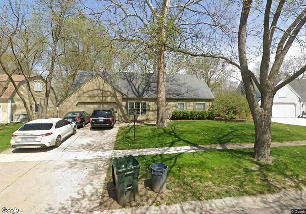
43 Brockway Dr Oswego, IL 60543
Boulder Hill NeighborhoodEstimated Value: $375,211 - $430,000
5
Beds
3
Baths
2,440
Sq Ft
$167/Sq Ft
Est. Value
About This Home
This home is located at 43 Brockway Dr, Oswego, IL 60543 and is currently estimated at $407,303, approximately $166 per square foot. 43 Brockway Dr is a home located in Kendall County with nearby schools including Old Post Elementary School, Thompson Jr. High School, and Oswego High School.
Ownership History
Date
Name
Owned For
Owner Type
Purchase Details
Closed on
May 28, 2010
Sold by
Anderson John
Bought by
Buczek Peter and Buczek Carly L
Current Estimated Value
Home Financials for this Owner
Home Financials are based on the most recent Mortgage that was taken out on this home.
Original Mortgage
$222,997
Outstanding Balance
$150,441
Interest Rate
5.5%
Mortgage Type
FHA
Estimated Equity
$256,862
Purchase Details
Closed on
Nov 7, 2007
Sold by
Patel Anantrai M and Patel Hansa A
Bought by
Anderson John
Home Financials for this Owner
Home Financials are based on the most recent Mortgage that was taken out on this home.
Original Mortgage
$145,000
Interest Rate
6.45%
Mortgage Type
New Conventional
Purchase Details
Closed on
Apr 21, 1997
Sold by
Patel Anantrai M and Patel Hansa A
Bought by
Patel Anantrai M and Patel Hansa A
Create a Home Valuation Report for This Property
The Home Valuation Report is an in-depth analysis detailing your home's value as well as a comparison with similar homes in the area
Home Values in the Area
Average Home Value in this Area
Purchase History
| Date | Buyer | Sale Price | Title Company |
|---|---|---|---|
| Buczek Peter | $226,000 | Law Title Insurance | |
| Anderson John | $225,000 | First American Title | |
| Patel Anantrai M | -- | -- |
Source: Public Records
Mortgage History
| Date | Status | Borrower | Loan Amount |
|---|---|---|---|
| Open | Buczek Peter | $222,997 | |
| Previous Owner | Anderson John | $145,000 |
Source: Public Records
Tax History
| Year | Tax Paid | Tax Assessment Tax Assessment Total Assessment is a certain percentage of the fair market value that is determined by local assessors to be the total taxable value of land and additions on the property. | Land | Improvement |
|---|---|---|---|---|
| 2024 | $7,485 | $99,010 | $21,511 | $77,499 |
| 2023 | $7,571 | $96,126 | $20,884 | $75,242 |
| 2022 | $7,571 | $89,838 | $19,518 | $70,320 |
| 2021 | $7,295 | $83,961 | $18,241 | $65,720 |
| 2020 | $7,061 | $80,731 | $17,539 | $63,192 |
| 2019 | $6,830 | $77,154 | $17,539 | $59,615 |
| 2018 | $6,237 | $70,402 | $16,004 | $54,398 |
| 2017 | $6,037 | $64,886 | $14,750 | $50,136 |
| 2016 | $5,567 | $59,528 | $13,532 | $45,996 |
| 2015 | $5,358 | $55,119 | $12,530 | $42,589 |
| 2014 | -- | $52,999 | $12,048 | $40,951 |
| 2013 | -- | $55,788 | $12,682 | $43,106 |
Source: Public Records
Map
Nearby Homes
- 9 Cebold Dr
- 135 Chesterfield Dr
- 1300 Orchard Rd
- 3 Orchard Rd
- 123 Orchard Rd
- 2 Orchard Rd
- 510 Waterford Dr
- 520 Chesterfield Ct
- 133 River Mist Dr Unit 3
- 116 River Mist Dr
- 135 River Mist Dr Unit 2
- 109 Old Post Rd
- 1415 State Route 31
- 79 Pueblo Rd
- 119 Garden Dr
- 20 Durango Rd
- 2110 State Route 31
- 117 Boulder Hill Pass Unit 117
- 397 Cascade Ln Unit 2
- 7.43 Acres Vacant La State Route 31
Your Personal Tour Guide
Ask me questions while you tour the home.