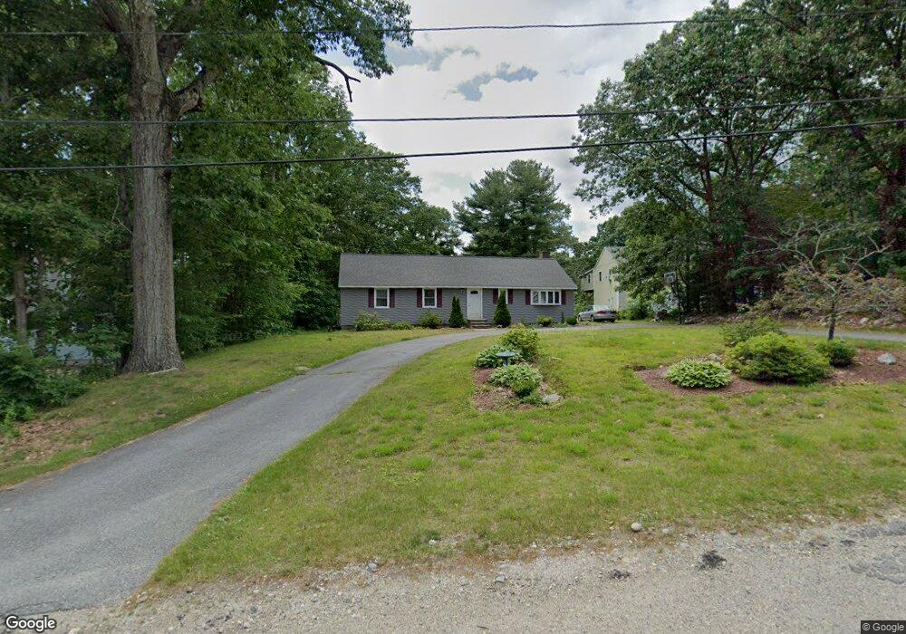
43 Dawson Rd Worcester, MA 01602
West Tatnuck NeighborhoodEstimated Value: $418,000 - $455,000
3
Beds
1
Bath
1,396
Sq Ft
$310/Sq Ft
Est. Value
About This Home
This home is located at 43 Dawson Rd, Worcester, MA 01602 and is currently estimated at $432,069, approximately $309 per square foot. 43 Dawson Rd is a home located in Worcester County with nearby schools including Tatnuck Magnet School, Chandler Magnet, and Jacob Hiatt Magnet School.
Ownership History
Date
Name
Owned For
Owner Type
Purchase Details
Closed on
Jul 31, 2001
Sold by
Daniels Richard J and Daniels Nerlin
Bought by
Oconnor Christopher and Oconnor Shari
Current Estimated Value
Home Financials for this Owner
Home Financials are based on the most recent Mortgage that was taken out on this home.
Original Mortgage
$124,450
Outstanding Balance
$48,651
Interest Rate
7.18%
Mortgage Type
Purchase Money Mortgage
Estimated Equity
$383,418
Create a Home Valuation Report for This Property
The Home Valuation Report is an in-depth analysis detailing your home's value as well as a comparison with similar homes in the area
Home Values in the Area
Average Home Value in this Area
Purchase History
| Date | Buyer | Sale Price | Title Company |
|---|---|---|---|
| Oconnor Christopher | $131,000 | -- |
Source: Public Records
Mortgage History
| Date | Status | Borrower | Loan Amount |
|---|---|---|---|
| Open | Oconnor Christopher | $20,000 | |
| Open | Oconnor Christopher | $124,450 | |
| Previous Owner | Oconnor Christopher | $70,000 | |
| Previous Owner | Oconnor Christopher | $41,000 |
Source: Public Records
Tax History
| Year | Tax Paid | Tax Assessment Tax Assessment Total Assessment is a certain percentage of the fair market value that is determined by local assessors to be the total taxable value of land and additions on the property. | Land | Improvement |
|---|---|---|---|---|
| 2025 | $5,025 | $381,000 | $125,600 | $255,400 |
| 2024 | $4,924 | $358,100 | $125,600 | $232,500 |
| 2023 | $4,765 | $332,300 | $110,000 | $222,300 |
| 2022 | $4,234 | $278,400 | $89,200 | $189,200 |
| 2021 | $4,171 | $256,200 | $72,600 | $183,600 |
| 2020 | $4,009 | $235,800 | $72,500 | $163,300 |
| 2019 | $3,784 | $210,200 | $66,200 | $144,000 |
| 2018 | $3,672 | $194,200 | $66,200 | $128,000 |
| 2017 | $3,733 | $194,200 | $66,200 | $128,000 |
| 2016 | $3,685 | $178,800 | $51,700 | $127,100 |
| 2015 | $3,589 | $178,800 | $51,700 | $127,100 |
| 2014 | $3,494 | $178,800 | $51,700 | $127,100 |
Source: Public Records
Map
Nearby Homes
- 70 Moreland Green Dr
- 148A Tory Fort Ln
- 10 Baiting Brook Ln Unit 67
- 14 Baiting Brook Ln Unit 65
- 10 Salisbury Hill Blvd Unit 75
- 16 Baiting Brook Ln Unit 64
- 9 Newburn Rd
- 58 Wedgewood Rd
- 163 Moreland St
- 118 Beaconsfield Rd
- 122 Copperfield Rd
- 23 Tiverton Pkwy
- 21 Baxter St
- 288 Fisher Rd
- 770 Salisbury St Unit 333
- 8 Sussex Ln
- 23 Orrison St
- 44 Camp St
- 4004 Brompton Cir
- 19 Assabet Ln
Your Personal Tour Guide
Ask me questions while you tour the home.