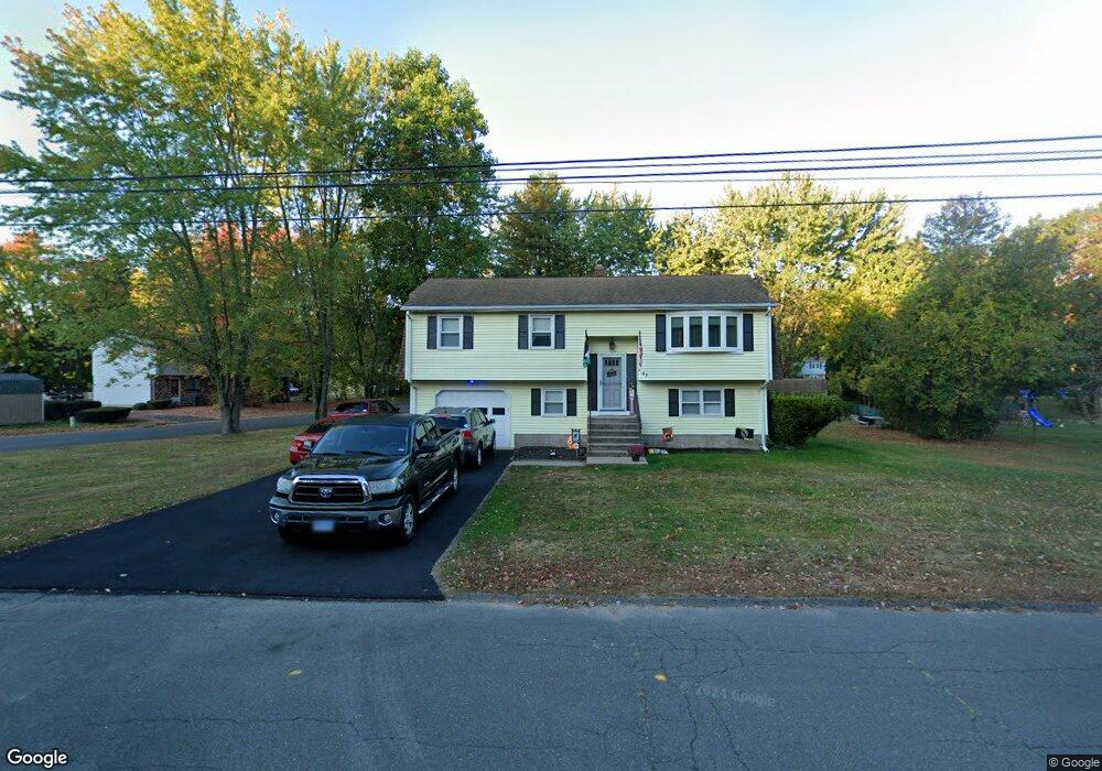
43 Georgetown Rd Bristol, CT 06010
Forestville NeighborhoodEstimated Value: $346,000 - $385,000
4
Beds
3
Baths
1,080
Sq Ft
$340/Sq Ft
Est. Value
About This Home
This home is located at 43 Georgetown Rd, Bristol, CT 06010 and is currently estimated at $366,778, approximately $339 per square foot. 43 Georgetown Rd is a home located in Hartford County with nearby schools including Northeast Middle School, Bristol Eastern High School, and St Matthew School.
Ownership History
Date
Name
Owned For
Owner Type
Purchase Details
Closed on
Jan 20, 2005
Sold by
Bustamante Maria R
Bought by
Rowe Bertell and Rowe Gretchen
Current Estimated Value
Home Financials for this Owner
Home Financials are based on the most recent Mortgage that was taken out on this home.
Original Mortgage
$213,210
Interest Rate
5.71%
Create a Home Valuation Report for This Property
The Home Valuation Report is an in-depth analysis detailing your home's value as well as a comparison with similar homes in the area
Home Values in the Area
Average Home Value in this Area
Purchase History
| Date | Buyer | Sale Price | Title Company |
|---|---|---|---|
| Rowe Bertell | $236,900 | -- |
Source: Public Records
Mortgage History
| Date | Status | Borrower | Loan Amount |
|---|---|---|---|
| Open | Rowe Bertell | $245,000 | |
| Closed | Rowe Bertell | $213,210 | |
| Previous Owner | Rowe Bertell | $94,000 |
Source: Public Records
Tax History Compared to Growth
Tax History
| Year | Tax Paid | Tax Assessment Tax Assessment Total Assessment is a certain percentage of the fair market value that is determined by local assessors to be the total taxable value of land and additions on the property. | Land | Improvement |
|---|---|---|---|---|
| 2025 | $6,324 | $187,390 | $41,090 | $146,300 |
| 2024 | $5,955 | $186,970 | $41,090 | $145,880 |
| 2023 | $5,675 | $186,970 | $41,090 | $145,880 |
| 2022 | $5,294 | $138,040 | $33,390 | $104,650 |
| 2021 | $5,294 | $138,040 | $33,390 | $104,650 |
| 2020 | $5,294 | $138,040 | $33,390 | $104,650 |
| 2019 | $5,252 | $138,040 | $33,390 | $104,650 |
| 2018 | $5,091 | $138,040 | $33,390 | $104,650 |
| 2017 | $4,691 | $130,200 | $41,440 | $88,760 |
| 2016 | $4,691 | $130,200 | $41,440 | $88,760 |
| 2015 | $4,506 | $130,200 | $41,440 | $88,760 |
| 2014 | $4,506 | $130,200 | $41,440 | $88,760 |
Source: Public Records
Map
Nearby Homes
- 84 Robertson St Unit 84
- 35 Buckley Ave
- 38 Buckley Ave
- 418 Washington St
- 73 Grove Ave
- 102 Renee St
- 36 Douglas Rd
- 48 Sandstone Rd Unit 48
- 0 Overlook Dr Unit Lot 3 24092446
- 0 Overlook Dr Unit Lot 4 24092448
- 158 E Main St
- 163 Mark St
- 0 Oakwood Cir
- 9 Beechwood Rd
- 437 Stafford Ave
- 63 Kenney St
- 28 Wilson St
- 107 Brace Ave
- 683 Pine St
- 16 Mechanic St
- 44 Georgetown Rd
- 44 Georgetown Rd Unit 44
- 42 Georgetown Rd
- 42 Georgetown Rd Unit 42
- 40 Georgetown Rd
- 40 Georgetown Rd Unit 40
- 56 Georgetown Rd
- 11 Robertson St
- 20 Robertson St
- 23 Georgetown Rd
- 13 Robertson St
- 22 Robertson St
- 15 Robertson St
- 15 Robertson St Unit 15
- 6 Carolina Rd
- 55 Georgetown Rd
- 21 Robertson St
- 21 Robertson St Unit D
- 21 Robertson St Unit 21
- 25 Robertson St