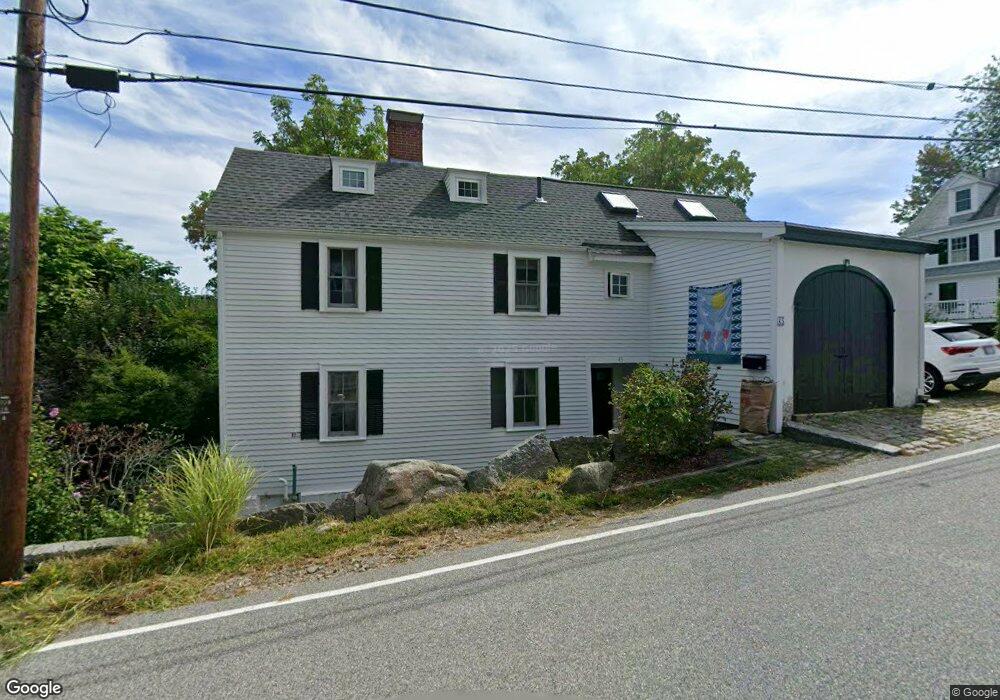
43 Leonard St Gloucester, MA 01930
Annisquam NeighborhoodEstimated Value: $1,572,000 - $2,045,361
5
Beds
5
Baths
2,096
Sq Ft
$841/Sq Ft
Est. Value
About This Home
This home is located at 43 Leonard St, Gloucester, MA 01930 and is currently estimated at $1,762,090, approximately $840 per square foot. 43 Leonard St is a home located in Essex County with nearby schools including Plum Cove School, Ralph B O'maley Middle School, and Gloucester High School.
Ownership History
Date
Name
Owned For
Owner Type
Purchase Details
Closed on
Feb 21, 2014
Sold by
45 Leonard Street Nt and Phillips
Bought by
Wilkins Stephen M and Wilkins Sarah M
Current Estimated Value
Home Financials for this Owner
Home Financials are based on the most recent Mortgage that was taken out on this home.
Original Mortgage
$450,000
Outstanding Balance
$338,141
Interest Rate
4.5%
Mortgage Type
New Conventional
Estimated Equity
$1,423,949
Purchase Details
Closed on
Aug 25, 2008
Sold by
Justice-Gault Amy and Phillips Steven W
Bought by
45 Leonard Street Nt and Phillips
Create a Home Valuation Report for This Property
The Home Valuation Report is an in-depth analysis detailing your home's value as well as a comparison with similar homes in the area
Home Values in the Area
Average Home Value in this Area
Purchase History
| Date | Buyer | Sale Price | Title Company |
|---|---|---|---|
| Wilkins Stephen M | $950,000 | -- | |
| 45 Leonard Street Nt | -- | -- |
Source: Public Records
Mortgage History
| Date | Status | Borrower | Loan Amount |
|---|---|---|---|
| Open | Wilkins Stephen M | $450,000 |
Source: Public Records
Tax History
| Year | Tax Paid | Tax Assessment Tax Assessment Total Assessment is a certain percentage of the fair market value that is determined by local assessors to be the total taxable value of land and additions on the property. | Land | Improvement |
|---|---|---|---|---|
| 2025 | $18,387 | $1,891,700 | $1,262,700 | $629,000 |
| 2024 | $15,380 | $1,580,700 | $951,700 | $629,000 |
| 2023 | $14,439 | $1,363,500 | $812,300 | $551,200 |
| 2022 | $13,968 | $1,190,800 | $706,400 | $484,400 |
| 2021 | $13,489 | $1,084,300 | $642,100 | $442,200 |
| 2020 | $13,430 | $1,089,200 | $642,100 | $447,100 |
| 2019 | $12,913 | $1,017,600 | $612,200 | $405,400 |
| 2018 | $12,577 | $972,700 | $597,300 | $375,400 |
| 2017 | $12,210 | $925,700 | $569,100 | $356,600 |
| 2016 | $11,103 | $815,800 | $544,100 | $271,700 |
| 2015 | $10,699 | $783,800 | $531,800 | $252,000 |
Source: Public Records
Map
Nearby Homes
- 136 Leonard St
- 672 Washington St
- 4 Ciaramitaro Ct
- 2 Breezy Point Rd
- 226 Atlantic St
- 178 Atlantic St
- 167 Atlantic St
- 3 Deacon Farm Ln
- 13 Honeysuckle Rd
- 9 Hickory St
- 1030 Washington St
- 31 Echo Ave
- 43 High St Unit B
- 10 Emerald St
- 13 Mystic Ave
- 8 Mystic Ave
- 3 Rockland St
- 6 Monroe Ct
- 98 Maplewood Ave
- 12 Arthur St
Your Personal Tour Guide
Ask me questions while you tour the home.