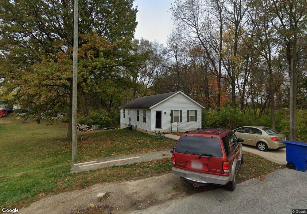
43 Parsons Ave Delaware, OH 43015
Estimated Value: $189,000 - $222,000
3
Beds
1
Bath
960
Sq Ft
$219/Sq Ft
Est. Value
About This Home
This home is located at 43 Parsons Ave, Delaware, OH 43015 and is currently estimated at $209,944, approximately $218 per square foot. 43 Parsons Ave is a home located in Delaware County with nearby schools including James Conger Elementary School, John C. Dempsey Middle School, and Rutherford B. Hayes High School.
Ownership History
Date
Name
Owned For
Owner Type
Purchase Details
Closed on
Oct 4, 2002
Sold by
Piatt Melanie M
Bought by
Mcclish Joann
Current Estimated Value
Home Financials for this Owner
Home Financials are based on the most recent Mortgage that was taken out on this home.
Original Mortgage
$42,000
Interest Rate
6.39%
Mortgage Type
New Conventional
Purchase Details
Closed on
Mar 2, 1998
Sold by
Bargdill Charles J
Bought by
Piatt Cameron A and Piatt Melanie
Home Financials for this Owner
Home Financials are based on the most recent Mortgage that was taken out on this home.
Original Mortgage
$71,575
Interest Rate
6.95%
Mortgage Type
FHA
Create a Home Valuation Report for This Property
The Home Valuation Report is an in-depth analysis detailing your home's value as well as a comparison with similar homes in the area
Home Values in the Area
Average Home Value in this Area
Purchase History
| Date | Buyer | Sale Price | Title Company |
|---|---|---|---|
| Mcclish Joann | $95,000 | -- | |
| Piatt Cameron A | $72,500 | -- |
Source: Public Records
Mortgage History
| Date | Status | Borrower | Loan Amount |
|---|---|---|---|
| Previous Owner | Mcclish Joann | $42,000 | |
| Previous Owner | Piatt Cameron A | $71,575 |
Source: Public Records
Tax History Compared to Growth
Tax History
| Year | Tax Paid | Tax Assessment Tax Assessment Total Assessment is a certain percentage of the fair market value that is determined by local assessors to be the total taxable value of land and additions on the property. | Land | Improvement |
|---|---|---|---|---|
| 2024 | $1,876 | $49,530 | $8,370 | $41,160 |
| 2023 | $1,909 | $49,530 | $8,370 | $41,160 |
| 2022 | $1,700 | $39,940 | $5,360 | $34,580 |
| 2021 | $1,738 | $39,940 | $5,360 | $34,580 |
| 2020 | $1,757 | $39,940 | $5,360 | $34,580 |
| 2019 | $1,399 | $31,260 | $4,660 | $26,600 |
| 2018 | $1,419 | $31,260 | $4,660 | $26,600 |
| 2017 | $1,405 | $31,540 | $4,450 | $27,090 |
| 2016 | $1,311 | $31,540 | $4,450 | $27,090 |
| 2015 | $1,318 | $31,540 | $4,450 | $27,090 |
| 2014 | $1,339 | $31,540 | $4,450 | $27,090 |
| 2013 | $1,347 | $31,540 | $4,450 | $27,090 |
Source: Public Records
Map
Nearby Homes
- 34 Prospect St
- 35 Chamberlain St
- 40 Chamberlain St
- 69 Webb St
- 60 Oak St
- 250 N Union St
- 0 Dildine Rd Unit 225015764
- 85 Blymer St
- 28 Hammond St
- 126 Wilder St
- 299 N Sandusky St
- 280 N Franklin St
- 360 E Central Ave
- 63 Allenhurst Way
- 71 Allenhurst Way
- 66 Allenhurst Way
- 73 Allenhurst Way
- 263 N Franklin St
- 40 W Winter St
- 297 N Franklin St