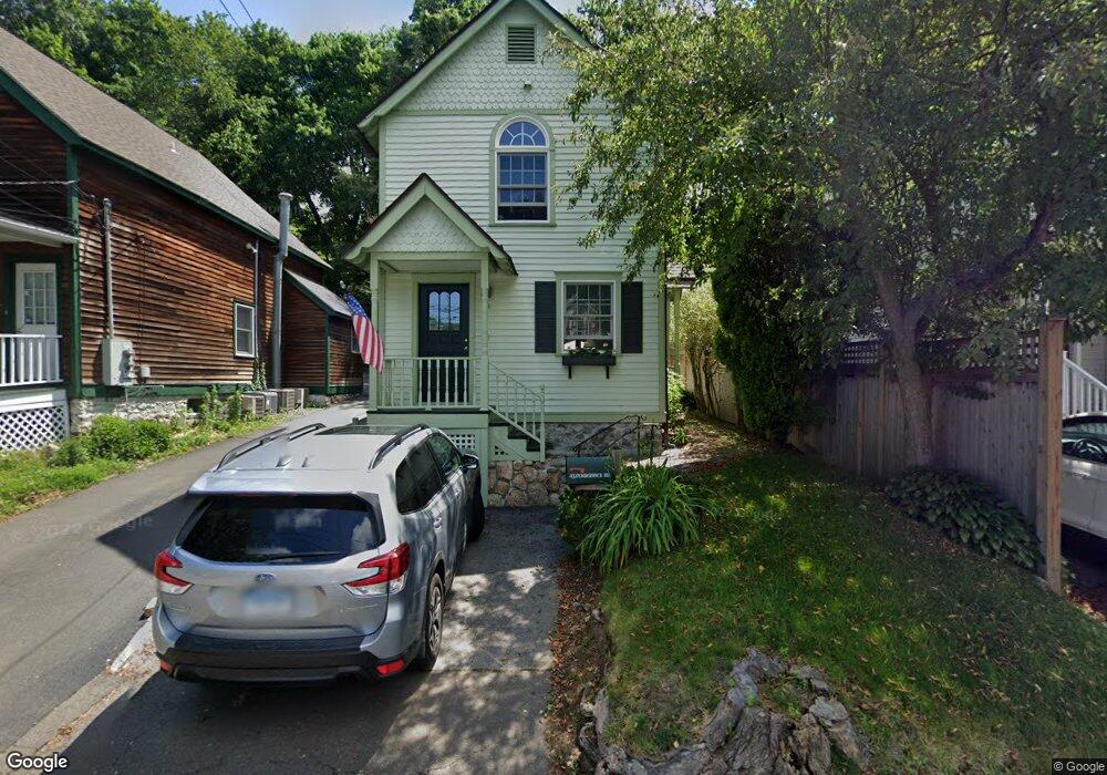
43 Pemberwick Rd Greenwich, CT 06831
Pemberwick NeighborhoodEstimated Value: $731,116 - $946,000
2
Beds
2
Baths
1,138
Sq Ft
$729/Sq Ft
Est. Value
About This Home
This home is located at 43 Pemberwick Rd, Greenwich, CT 06831 and is currently estimated at $829,279, approximately $728 per square foot. 43 Pemberwick Rd is a home located in Fairfield County with nearby schools including Hamilton Avenue School, Western Middle School, and Greenwich High School.
Ownership History
Date
Name
Owned For
Owner Type
Purchase Details
Closed on
Jan 19, 1993
Sold by
Gilbert David
Bought by
John Patricia
Current Estimated Value
Create a Home Valuation Report for This Property
The Home Valuation Report is an in-depth analysis detailing your home's value as well as a comparison with similar homes in the area
Home Values in the Area
Average Home Value in this Area
Purchase History
| Date | Buyer | Sale Price | Title Company |
|---|---|---|---|
| John Patricia | $262,000 | -- |
Source: Public Records
Mortgage History
| Date | Status | Borrower | Loan Amount |
|---|---|---|---|
| Open | John Patricia | $194,250 | |
| Closed | John Patricia | $237,000 | |
| Closed | John Patricia | $240,000 | |
| Closed | John Patricia | $198,900 |
Source: Public Records
Tax History Compared to Growth
Tax History
| Year | Tax Paid | Tax Assessment Tax Assessment Total Assessment is a certain percentage of the fair market value that is determined by local assessors to be the total taxable value of land and additions on the property. | Land | Improvement |
|---|---|---|---|---|
| 2025 | $4,605 | $372,610 | $317,800 | $54,810 |
| 2024 | $4,447 | $372,610 | $317,800 | $54,810 |
| 2023 | $4,336 | $372,610 | $317,800 | $54,810 |
| 2022 | $4,296 | $372,610 | $317,800 | $54,810 |
| 2021 | $3,769 | $313,040 | $231,700 | $81,340 |
| 2020 | $3,763 | $313,040 | $231,700 | $81,340 |
| 2019 | $3,800 | $313,040 | $231,700 | $81,340 |
| 2018 | $3,619 | $304,920 | $231,700 | $73,220 |
| 2017 | $3,665 | $304,920 | $231,700 | $73,220 |
| 2016 | $3,607 | $304,920 | $231,700 | $73,220 |
| 2015 | $3,253 | $272,790 | $207,270 | $65,520 |
| 2014 | $3,171 | $272,790 | $207,270 | $65,520 |
Source: Public Records
Map
Nearby Homes
- 41 Chapel St
- 70 Byram Terrace Dr
- 8 Reynolds Place
- 3 Green Ln
- 38 Riverdale Ave
- 238 Madison Ave
- 107 Pemberwick Rd
- 180 Madison Ave
- 14 Sherman Ave
- 52 Almira Dr Unit D
- 531 1/2 Willett Ave
- 40 Moshier St
- 518 Locust Ave
- 30 Sherman Ave
- 28 1/2 Pilgrim Dr
- 95 Byram Rd
- 340 Locust Ave
- 48 Richland Rd
- 53 Linden St
- 30 High St
- 41 Pemberwick Rd
- 45 Pemberwick Rd
- 39 Pemberwick Rd
- 47 Pemberwick Rd
- 37 Pemberwick Rd
- 49 Pemberwick Rd
- 49 Pemberwick Rd Unit B
- 34 Byram Terrace Dr
- 36 Byram Terrace Dr
- 35 Pemberwick Rd Unit 2
- 35 Pemberwick Rd Unit 1
- 35 Pemberwick Rd
- 44 Pemberwick Rd
- 38 Byram Terrace Dr
- 48 Pemberwick Rd Unit 4
- 46 Pemberwick Rd Unit 2
- 46 Pemberwick Rd Unit 1
- 48 Pemberwick Rd Unit 3
- 48 Pemberwick Rd Unit B
- 48 Pemberwick Rd