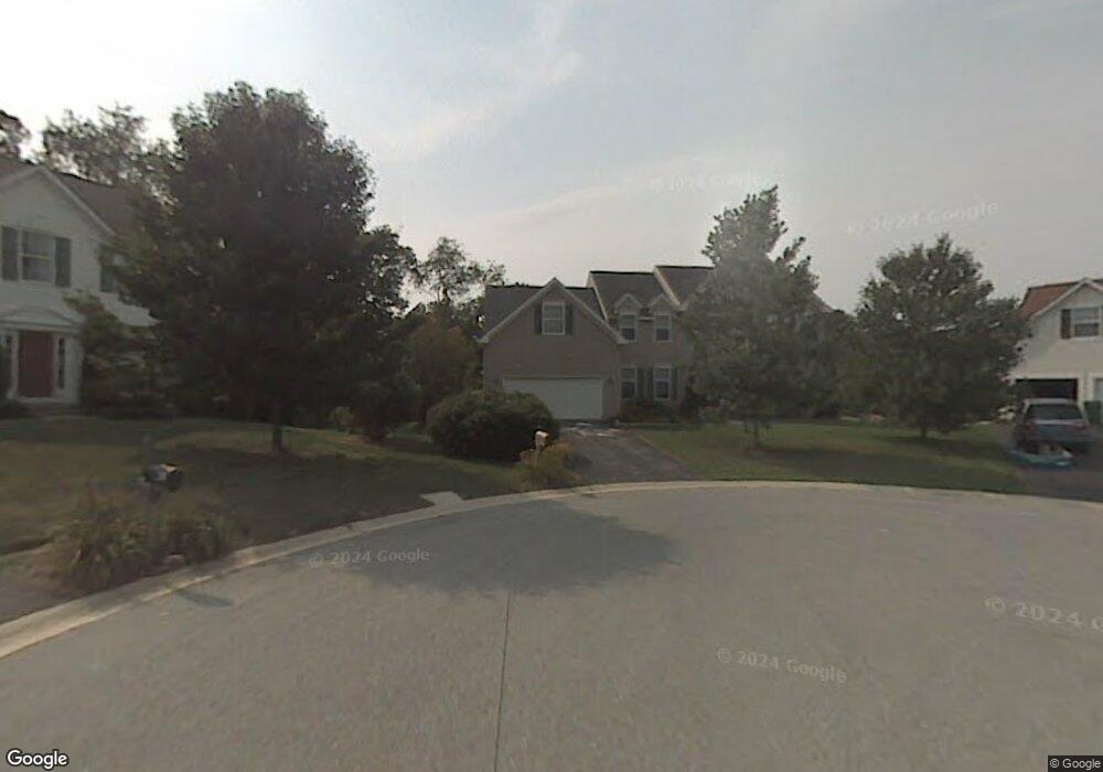
43 Piersons Ridge Unit RG Hockessin, DE 19707
Estimated Value: $712,000 - $751,000
4
Beds
3
Baths
2,828
Sq Ft
$258/Sq Ft
Est. Value
About This Home
This home is located at 43 Piersons Ridge Unit RG, Hockessin, DE 19707 and is currently estimated at $730,078, approximately $258 per square foot. 43 Piersons Ridge Unit RG is a home located in New Castle County with nearby schools including North Star Elementary School, Dupont (H.B.) Middle School, and Alexis I. du Pont High School.
Ownership History
Date
Name
Owned For
Owner Type
Purchase Details
Closed on
May 31, 2000
Bought by
Kuczykowski David and Legiec Irene A
Current Estimated Value
Create a Home Valuation Report for This Property
The Home Valuation Report is an in-depth analysis detailing your home's value as well as a comparison with similar homes in the area
Home Values in the Area
Average Home Value in this Area
Purchase History
| Date | Buyer | Sale Price | Title Company |
|---|---|---|---|
| Kuczykowski David | $319,000 | -- |
Source: Public Records
Tax History Compared to Growth
Tax History
| Year | Tax Paid | Tax Assessment Tax Assessment Total Assessment is a certain percentage of the fair market value that is determined by local assessors to be the total taxable value of land and additions on the property. | Land | Improvement |
|---|---|---|---|---|
| 2024 | $5,820 | $151,900 | $24,700 | $127,200 |
| 2023 | $5,161 | $151,900 | $24,700 | $127,200 |
| 2022 | $5,189 | $151,900 | $24,700 | $127,200 |
| 2021 | $5,184 | $151,900 | $24,700 | $127,200 |
| 2020 | $5,186 | $151,900 | $24,700 | $127,200 |
| 2019 | $5,795 | $151,900 | $24,700 | $127,200 |
| 2018 | $5,095 | $151,900 | $24,700 | $127,200 |
| 2017 | $5,035 | $151,900 | $24,700 | $127,200 |
| 2016 | $4,789 | $151,900 | $24,700 | $127,200 |
| 2015 | -- | $151,900 | $24,700 | $127,200 |
| 2014 | $4,162 | $151,200 | $24,700 | $126,500 |
Source: Public Records
Map
Nearby Homes
- 22 Eynon Ct
- 257 Grove View Dr
- 259 Grove View Dr
- 255 Grove View Dr
- 253 Grove View Dr
- 3 Ashleaf Ct
- 567 Southwood Rd
- 107 Skyview Ln
- 551 Southwood Rd
- 108 Evanson Rd
- 2022 Rosemont Dr
- 683 Mc Govern Rd
- 832 Evanson Rd
- 408 Willowbend Ct
- 1331 Broad Run Rd
- 513 Pershing Rd
- 308 Detjen Dr
- 3 Heatherstone Way
- 515 Massaferi Way
- 253 Peoples Way
- 42 Piersons Ridge Unit RG
- 41 Piersons Ridge Unit RG
- 40 Piersons Ridge Unit RG
- 39 Piersons Ridge Unit RG
- 2 Meredith Ct
- 543 Stenning Dr
- 545 Stenning Dr
- 539 Stenning Dr
- 36 Piersons Ridge Unit RG
- 37 Piersons Ridge Unit RG
- 4 Meredith Ct
- 547 Stenning Dr
- 537 Stenning Dr
- 35 Piersons Ridge Unit RG
- 2 Ruthana Way
- 3 Meredith Ct
- 6 Meredith Ct
- 4 Ruthana Way
- 5 Meredith Ct
- 692 Southwood Rd