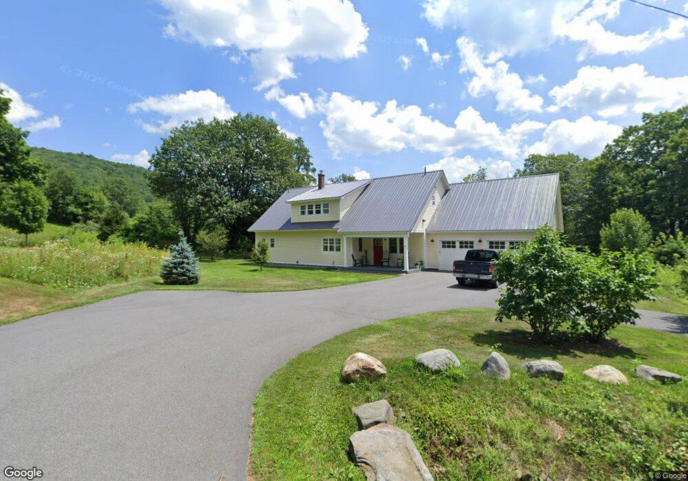
43 Stetson Bros Rd Colrain, MA 01340
Colrain NeighborhoodEstimated Value: $445,935 - $635,000
4
Beds
3
Baths
2,348
Sq Ft
$219/Sq Ft
Est. Value
About This Home
This home is located at 43 Stetson Bros Rd, Colrain, MA 01340 and is currently estimated at $514,484, approximately $219 per square foot. 43 Stetson Bros Rd is a home located in Franklin County with nearby schools including Mohawk Trail Regional High School.
Ownership History
Date
Name
Owned For
Owner Type
Purchase Details
Closed on
Oct 28, 2020
Sold by
Cole William C
Bought by
Peters Casey M and Peters Sonja M
Current Estimated Value
Home Financials for this Owner
Home Financials are based on the most recent Mortgage that was taken out on this home.
Original Mortgage
$305,050
Outstanding Balance
$271,451
Interest Rate
2.8%
Mortgage Type
New Conventional
Estimated Equity
$243,033
Create a Home Valuation Report for This Property
The Home Valuation Report is an in-depth analysis detailing your home's value as well as a comparison with similar homes in the area
Home Values in the Area
Average Home Value in this Area
Purchase History
| Date | Buyer | Sale Price | Title Company |
|---|---|---|---|
| Peters Casey M | $302,000 | None Available |
Source: Public Records
Mortgage History
| Date | Status | Borrower | Loan Amount |
|---|---|---|---|
| Open | Peters Casey M | $305,050 |
Source: Public Records
Tax History Compared to Growth
Tax History
| Year | Tax Paid | Tax Assessment Tax Assessment Total Assessment is a certain percentage of the fair market value that is determined by local assessors to be the total taxable value of land and additions on the property. | Land | Improvement |
|---|---|---|---|---|
| 2025 | $7,269 | $398,100 | $70,800 | $327,300 |
| 2024 | $6,466 | $340,700 | $70,800 | $269,900 |
| 2023 | $6,158 | $313,700 | $65,300 | $248,400 |
| 2022 | $6,304 | $307,800 | $57,100 | $250,700 |
Source: Public Records
Map
Nearby Homes
- 61 Ed Clark Rd
- 6 Chippewa Dr
- 139 Taylor Brook Rd
- 32 Navaho Ln
- 594 Massachusetts 8a
- 251 Phillips Hill Rd
- 829 Pennel Hill Rd
- 14 South Rd
- 442 Mcmillan Rd
- 0 Jacksonville Rd
- 1917 Stowe Mountain Rd
- 295 Jacksonville Rd
- 4668 Vermont 112
- 2173 Vermont 8a
- 1192 Chapel Hill Rd
- 1154 Vermont 8a
- 66 Reil Ln
- 3+5 Church St
- 380 Smith Rd
- 6036 Jacksonville Stage Rd
- 43 Stetson Bros Rd
- 10 Dunnell Dr
- 9 Dunnell Dr
- 10 Crosier Ln
- 15 Stetson Bros Rd
- 43 Stetson Brothers Rd
- 4 Dunnell Dr
- 0 Crosier Ln L: Unit 72695935
- 9 Crosier Ln
- 0 Crosier Ln Unit 71700338
- 0 Crosier Ln Unit 71873341
- 0 Crosier Ln Unit 231700
- 20 Stetson Bros Rd
- 7 Crosier Ln
- 5 Gilbert Dr
- 561 Adamsville Rd
- 1 Gilbert Dr
- 0 Stetson Brothers Rd
- 64 Stetson Bros Rd
- 64 Stetson Bros Rd