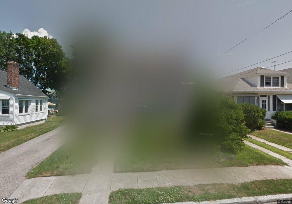
43 Stevens Rd Cranston, RI 02910
Forest Hills NeighborhoodEstimated Value: $407,779 - $540,000
3
Beds
2
Baths
1,484
Sq Ft
$307/Sq Ft
Est. Value
About This Home
This home is located at 43 Stevens Rd, Cranston, RI 02910 and is currently estimated at $455,945, approximately $307 per square foot. 43 Stevens Rd is a home located in Providence County with nearby schools including Woodridge Elementary School, Western Hills Middle School, and Cranston High School West.
Ownership History
Date
Name
Owned For
Owner Type
Purchase Details
Closed on
Jun 9, 1995
Sold by
Lavallee Arthur A and Lavallee Margaret
Bought by
Corvese Raymond C
Current Estimated Value
Create a Home Valuation Report for This Property
The Home Valuation Report is an in-depth analysis detailing your home's value as well as a comparison with similar homes in the area
Home Values in the Area
Average Home Value in this Area
Purchase History
| Date | Buyer | Sale Price | Title Company |
|---|---|---|---|
| Corvese Raymond C | $117,000 | -- |
Source: Public Records
Mortgage History
| Date | Status | Borrower | Loan Amount |
|---|---|---|---|
| Open | Corvese Raymond C | $157,500 | |
| Closed | Corvese Raymond C | $21,000 | |
| Closed | Corvese Raymond C | $59,000 | |
| Closed | Corvese Raymond C | $10,000 |
Source: Public Records
Tax History
| Year | Tax Paid | Tax Assessment Tax Assessment Total Assessment is a certain percentage of the fair market value that is determined by local assessors to be the total taxable value of land and additions on the property. | Land | Improvement |
|---|---|---|---|---|
| 2025 | $5,033 | $362,600 | $106,900 | $255,700 |
| 2024 | $4,935 | $362,600 | $106,900 | $255,700 |
| 2023 | $4,719 | $249,700 | $70,400 | $179,300 |
| 2022 | $4,622 | $249,700 | $70,400 | $179,300 |
| 2021 | $4,495 | $249,700 | $70,400 | $179,300 |
| 2020 | $4,409 | $212,300 | $67,000 | $145,300 |
| 2019 | $4,409 | $212,300 | $67,000 | $145,300 |
| 2018 | $4,308 | $212,300 | $67,000 | $145,300 |
| 2017 | $4,462 | $194,500 | $60,300 | $134,200 |
| 2016 | $4,367 | $194,500 | $60,300 | $134,200 |
| 2015 | $4,367 | $194,500 | $60,300 | $134,200 |
| 2014 | $4,333 | $189,700 | $60,300 | $129,400 |
Source: Public Records
Map
Nearby Homes