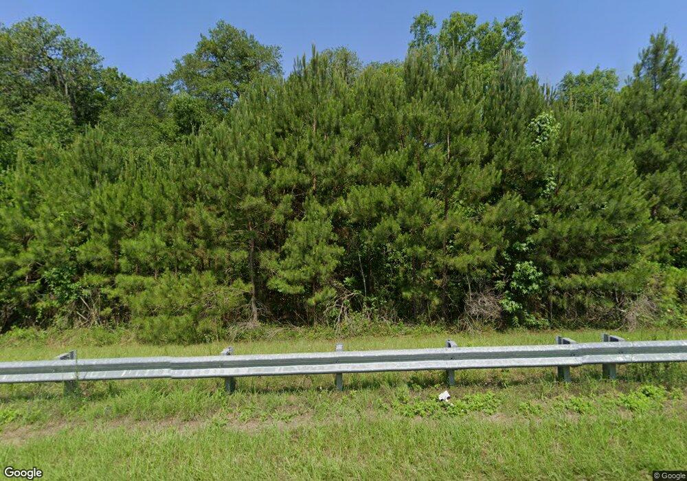
Estimated Value: $150,000 - $692,207
3
Beds
2
Baths
1,500
Sq Ft
$269/Sq Ft
Est. Value
About This Home
This home is located at 4301 Dixie Rd, Dixie, GA 31629 and is currently estimated at $403,302, approximately $268 per square foot. 4301 Dixie Rd is a home with nearby schools including Quitman Elementary School and Westbrook School.
Ownership History
Date
Name
Owned For
Owner Type
Purchase Details
Closed on
Feb 23, 2015
Sold by
Farrior James T
Bought by
Bennett John W
Current Estimated Value
Purchase Details
Closed on
Aug 26, 2009
Sold by
Farrior James T
Bought by
Right Of Way Deed
Purchase Details
Closed on
May 18, 2007
Bought by
Conservation Use Covenant Recording
Purchase Details
Closed on
Apr 13, 2005
Sold by
Parkerson Thomas A
Bought by
Farrior James
Purchase Details
Closed on
Sep 13, 2002
Sold by
Wright Charlie B and Wright Sandra
Bought by
Parkerson Thomas A and Sainz Shirle
Create a Home Valuation Report for This Property
The Home Valuation Report is an in-depth analysis detailing your home's value as well as a comparison with similar homes in the area
Purchase History
| Date | Buyer | Sale Price | Title Company |
|---|---|---|---|
| Bennett John W | $264,000 | -- | |
| Right Of Way Deed | -- | -- | |
| Conservation Use Covenant Recording | -- | -- | |
| Farrior James | $290,000 | -- | |
| Parkerson Thomas A | $122,500 | -- |
Source: Public Records
Tax History
| Year | Tax Paid | Tax Assessment Tax Assessment Total Assessment is a certain percentage of the fair market value that is determined by local assessors to be the total taxable value of land and additions on the property. | Land | Improvement |
|---|---|---|---|---|
| 2025 | $2,614 | $194,640 | $128,920 | $65,720 |
| 2024 | $2,595 | $194,640 | $128,920 | $65,720 |
| 2023 | $2,360 | $173,960 | $116,640 | $57,320 |
| 2022 | $2,157 | $154,560 | $111,080 | $43,480 |
| 2021 | $1,981 | $128,120 | $90,000 | $38,120 |
| 2020 | $3,548 | $127,760 | $90,000 | $37,760 |
| 2019 | $1,899 | $120,640 | $83,520 | $37,120 |
| 2018 | $3,904 | $133,680 | $96,160 | $37,520 |
| 2017 | $1,819 | $131,560 | $96,160 | $35,400 |
| 2016 | $807 | $96,800 | $96,200 | $600 |
| 2015 | -- | $126,360 | $125,760 | $600 |
| 2014 | -- | $126,360 | $125,760 | $600 |
| 2013 | -- | $126,360 | $125,760 | $600 |
Source: Public Records
Map
Nearby Homes
- 5199 U S 84
- 2156 County Road 78
- 0 Spencer Rd
- 431 Dry Lake Rd
- 1540 Dunn Rd
- 2434 Dunn Rd
- 9900 Ozell Rd
- 804 Westlake Dr
- 536 N Leaphart St
- 682 Salem Rd
- 130 E Adams St
- 901 W Boundary St
- 602 N Webster St
- 611 Bn S Main St
- 0 W Swamp St
- 304 W Rountree St
- 0 Madison Hwy Unit 147194
- Lot 14 Dawn Ln
- 0 Hamlin McKinnon Rd Unit 926343
- 606 N Court St
