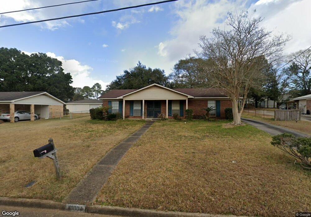
4304 Iwo Jima Dr S Mobile, AL 36609
Malibar Heights NeighborhoodEstimated Value: $145,220 - $178,000
4
Beds
3
Baths
1,593
Sq Ft
$102/Sq Ft
Est. Value
About This Home
This home is located at 4304 Iwo Jima Dr S, Mobile, AL 36609 and is currently estimated at $163,055, approximately $102 per square foot. 4304 Iwo Jima Dr S is a home located in Mobile County with nearby schools including Olive J. Dodge Elementary School, Burns Middle School, and WP Davidson High School.
Ownership History
Date
Name
Owned For
Owner Type
Purchase Details
Closed on
Jun 27, 2016
Sold by
Estate Of Carrie B Hurst
Bought by
Watson Michael W
Current Estimated Value
Home Financials for this Owner
Home Financials are based on the most recent Mortgage that was taken out on this home.
Original Mortgage
$63,000
Outstanding Balance
$50,390
Interest Rate
3.64%
Mortgage Type
New Conventional
Estimated Equity
$112,665
Create a Home Valuation Report for This Property
The Home Valuation Report is an in-depth analysis detailing your home's value as well as a comparison with similar homes in the area
Home Values in the Area
Average Home Value in this Area
Purchase History
| Date | Buyer | Sale Price | Title Company |
|---|---|---|---|
| Watson Michael W | $70,000 | None Available |
Source: Public Records
Mortgage History
| Date | Status | Borrower | Loan Amount |
|---|---|---|---|
| Open | Watson Michael W | $63,000 |
Source: Public Records
Tax History Compared to Growth
Tax History
| Year | Tax Paid | Tax Assessment Tax Assessment Total Assessment is a certain percentage of the fair market value that is determined by local assessors to be the total taxable value of land and additions on the property. | Land | Improvement |
|---|---|---|---|---|
| 2024 | $607 | $10,460 | $2,000 | $8,460 |
| 2023 | $607 | $9,900 | $1,950 | $7,950 |
| 2022 | $525 | $9,320 | $1,800 | $7,520 |
| 2021 | $475 | $8,530 | $1,500 | $7,030 |
| 2020 | $475 | $8,530 | $1,500 | $7,030 |
| 2019 | $484 | $8,670 | $1,500 | $7,170 |
| 2018 | $484 | $8,680 | $0 | $0 |
| 2017 | $475 | $8,540 | $0 | $0 |
| 2016 | $1,104 | $17,380 | $0 | $0 |
| 2013 | -- | $9,160 | $0 | $0 |
Source: Public Records
Map
Nearby Homes
- 767 Kasserine Pass
- 786 Kasserine Pass
- 1028 Oakland Dr
- 708 Monarch Dr W
- 4458 Wolf Creek Dr N
- 4259 Raines Dr
- 708 Ynestra Dr
- 2120 Panorama Dr
- 5612 Bentley Ln
- 4303 Panorama Blvd
- 5552 Fairfield Place
- 1933 Wildwood Place
- 661 Ynestra Dr
- 713 Oak Circle Dr E
- 0 Trenton Ln Unit 7567904
- 5621 Vista Bonita Dr S
- 2265 East Rd
- 2314 Demetropolis Rd
- 1833 Spring Brook Ct
- 2100 Japonica Ln
- 766 Iwo Jima Dr E
- 4308 Iwo Jima Dr S
- 762 Iwo Jima Dr E
- 4312 Iwo Jima Dr S
- 758 Iwo Jima Dr E
- 4305 Nadzab Ct
- 4309 Iwo Jima Dr S
- 763 Kasserine Pass
- 4313 Iwo Jima Dr S
- 771 Kasserine Pass
- 4305 Iwo Jima Dr S
- 754 Iwo Jima Dr E
- 763 Iwo Jima Dr E
- 4317 Iwo Jima Dr S
- 4301 Nadzab Ct
- 767 Iwo Jima Dr E
- 759 Kasserine Pass
- 4301 Iwo Jima Dr S
- 759 Iwo Jima Dr E
- 755 Iwo Jima Dr E