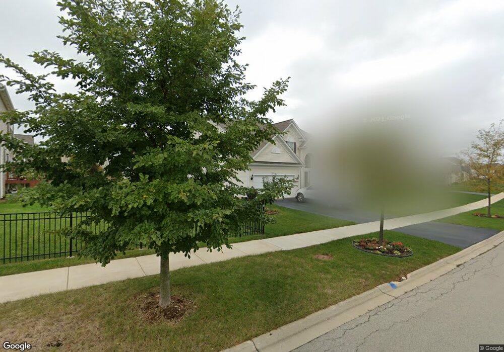
431 Devoe Dr Oswego, IL 60543
North Oswego NeighborhoodEstimated Value: $533,276 - $611,000
4
Beds
3
Baths
3,111
Sq Ft
$184/Sq Ft
Est. Value
About This Home
This home is located at 431 Devoe Dr, Oswego, IL 60543 and is currently estimated at $571,819, approximately $183 per square foot. 431 Devoe Dr is a home with nearby schools including Southbury Elementary School, Murphy Junior High School, and Oswego East High School.
Ownership History
Date
Name
Owned For
Owner Type
Purchase Details
Closed on
Jan 16, 2013
Sold by
Pulte Home Corp
Bought by
Robinson Ryan E and Howe Robinson Kathryn E
Current Estimated Value
Home Financials for this Owner
Home Financials are based on the most recent Mortgage that was taken out on this home.
Original Mortgage
$243,496
Outstanding Balance
$169,066
Interest Rate
3.34%
Mortgage Type
New Conventional
Estimated Equity
$402,753
Purchase Details
Closed on
Jan 1, 2013
Bought by
Robinson Ryan E and Howe Kathryn E
Home Financials for this Owner
Home Financials are based on the most recent Mortgage that was taken out on this home.
Original Mortgage
$243,496
Outstanding Balance
$169,066
Interest Rate
3.34%
Mortgage Type
New Conventional
Estimated Equity
$402,753
Create a Home Valuation Report for This Property
The Home Valuation Report is an in-depth analysis detailing your home's value as well as a comparison with similar homes in the area
Home Values in the Area
Average Home Value in this Area
Purchase History
| Date | Buyer | Sale Price | Title Company |
|---|---|---|---|
| Robinson Ryan E | $304,500 | None Available | |
| Robinson Ryan E | $304,400 | -- |
Source: Public Records
Mortgage History
| Date | Status | Borrower | Loan Amount |
|---|---|---|---|
| Open | Robinson Ryan E | $243,496 | |
| Closed | Robinson Ryan E | -- |
Source: Public Records
Tax History Compared to Growth
Tax History
| Year | Tax Paid | Tax Assessment Tax Assessment Total Assessment is a certain percentage of the fair market value that is determined by local assessors to be the total taxable value of land and additions on the property. | Land | Improvement |
|---|---|---|---|---|
| 2024 | $12,111 | $156,493 | $27,124 | $129,369 |
| 2023 | $10,727 | $137,275 | $23,793 | $113,482 |
| 2022 | $10,727 | $124,795 | $21,630 | $103,165 |
| 2021 | $10,666 | $119,995 | $20,798 | $99,197 |
| 2020 | $10,335 | $115,380 | $19,998 | $95,382 |
| 2019 | $10,063 | $110,838 | $19,998 | $90,840 |
| 2018 | $11,157 | $117,086 | $26,928 | $90,158 |
| 2017 | $11,211 | $115,356 | $26,530 | $88,826 |
| 2016 | $11,025 | $111,996 | $25,757 | $86,239 |
| 2015 | $10,763 | $104,669 | $24,072 | $80,597 |
| 2014 | $5,461 | $100,643 | $23,146 | $77,497 |
| 2013 | $5,461 | $101,646 | $23,377 | $78,269 |
Source: Public Records
Map
Nearby Homes
- 154 Chapin Way
- 652 Hawley Dr Unit 4383
- 115 Henderson St
- Meadowlark Plan at Hudson Pointe - II - Horizon Series
- Starling Plan at Hudson Pointe - II - Horizon Series
- Townsend Plan at Hudson Pointe - II - Horizon Series
- Marianne Plan at Hudson Pointe - II - Townhome Series
- Darcy Plan at Hudson Pointe - II - Townhome Series
- Charlotte Plan at Hudson Pointe - II - Townhome Series
- Brighton Plan at Hudson Pointe - II - Horizon Series
- Hawthorne Plan at Hudson Pointe - II - Horizon Series
- Glenwood Plan at Hudson Pointe - II - Horizon Series
- Essex Plan at Hudson Pointe - II - Horizon Series
- 413 Hathaway Ln
- 417 Hathaway Ln
- 357 Danforth Dr
- 120 Henderson St
- 342 Danforth Dr
- 415 Hathaway Ln
- 145 Henderson St
- 429 Devoe Dr
- 183 Chapin Way
- 181 Chapin Way
- 427 Devoe Dr
- 232 Bennett Ct S
- 179 Chapin Way
- 190 Chapin Way
- 230 Bennett Ct S
- 234 Bennett Ct S
- 425 Devoe Dr
- 177 Chapin Way
- 184 Chapin Way
- 182 Chapin Way
- 192 Chapin Way
- 236 Bennett Ct S
- 180 Chapin Way
- 229 Bennett Ct S
- 191 Chapin Way
- 423 Devoe Dr
- 173 Chapin Way