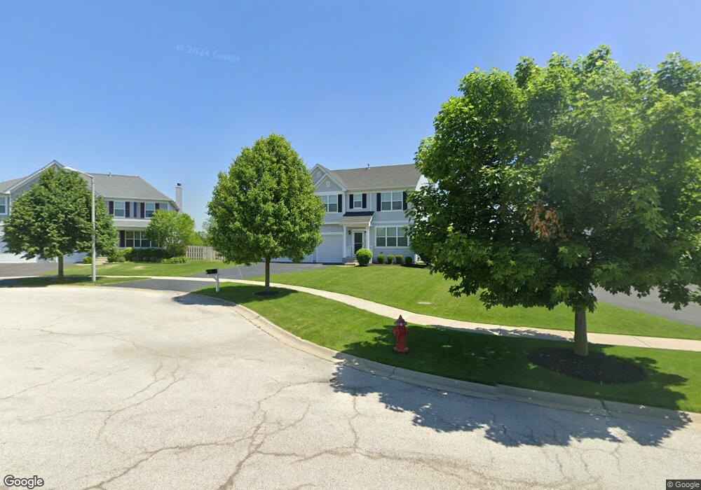
4312 Shofield Dr Oswego, IL 60543
South Oswego NeighborhoodEstimated Value: $498,000 - $534,000
4
Beds
3
Baths
3,255
Sq Ft
$160/Sq Ft
Est. Value
About This Home
This home is located at 4312 Shofield Dr, Oswego, IL 60543 and is currently estimated at $519,532, approximately $159 per square foot. 4312 Shofield Dr is a home located in Kendall County with nearby schools including Hunt Club Elementary School, Traughber Junior High School, and Oswego High School.
Ownership History
Date
Name
Owned For
Owner Type
Purchase Details
Closed on
Dec 29, 2017
Sold by
Ma Avery Pao Hong and Ma Mary Ann
Bought by
Robledo Alex D and Potter Jennifer
Current Estimated Value
Home Financials for this Owner
Home Financials are based on the most recent Mortgage that was taken out on this home.
Original Mortgage
$287,300
Outstanding Balance
$229,450
Interest Rate
2.01%
Mortgage Type
New Conventional
Estimated Equity
$290,082
Purchase Details
Closed on
Jul 25, 2014
Sold by
Hovsite Hunt Club Llc
Bought by
Ma Avery Pao Hong and Ma Mary Ann
Home Financials for this Owner
Home Financials are based on the most recent Mortgage that was taken out on this home.
Original Mortgage
$337,296
Interest Rate
4.15%
Mortgage Type
VA
Create a Home Valuation Report for This Property
The Home Valuation Report is an in-depth analysis detailing your home's value as well as a comparison with similar homes in the area
Home Values in the Area
Average Home Value in this Area
Purchase History
| Date | Buyer | Sale Price | Title Company |
|---|---|---|---|
| Robledo Alex D | $338,000 | Near North National Title | |
| Ma Avery Pao Hong | $327,000 | Chicago Title Insurance Co |
Source: Public Records
Mortgage History
| Date | Status | Borrower | Loan Amount |
|---|---|---|---|
| Open | Robledo Alex D | $287,300 | |
| Previous Owner | Ma Avery Pao Hong | $337,296 |
Source: Public Records
Tax History
| Year | Tax Paid | Tax Assessment Tax Assessment Total Assessment is a certain percentage of the fair market value that is determined by local assessors to be the total taxable value of land and additions on the property. | Land | Improvement |
|---|---|---|---|---|
| 2024 | $11,877 | $153,586 | $31,464 | $122,122 |
| 2023 | $10,617 | $135,917 | $27,844 | $108,073 |
| 2022 | $10,617 | $123,561 | $25,313 | $98,248 |
| 2021 | $10,245 | $115,478 | $23,657 | $91,821 |
| 2020 | $10,346 | $115,478 | $23,657 | $91,821 |
| 2019 | $10,090 | $111,106 | $23,657 | $87,449 |
| 2018 | $10,269 | $111,106 | $23,657 | $87,449 |
| 2017 | $10,031 | $103,837 | $22,109 | $81,728 |
| 2016 | $9,613 | $98,423 | $20,956 | $77,467 |
| 2015 | $9,474 | $92,852 | $19,770 | $73,082 |
| 2014 | -- | $16 | $16 | $0 |
| 2013 | -- | $16 | $16 | $0 |
Source: Public Records
Map
Nearby Homes
- 4355 Schofield Dr
- 4700 Laughton Ave
- 5021 Minkler Rd
- 539 Sudbury Cir
- 574 Sudbury Cir Unit 8
- 711 Blossom Ct Unit 2
- 55 Oak Creek Dr
- 617 Carnation Dr
- 415 Sudbury Cir Unit 7
- 35 Eagle View Ln Unit 1
- 293 Farm Ct
- 721 Churchill Ln
- 240 Paradise Pkwy
- 203 Cambridge Ct
- 5525 Bluestem Ct
- 586 Chestnut Dr
- 204 Country Ln
- 51 Crestview Dr
- 420 Windsor Dr
- 514 Danbury Dr Unit 4
- 4312 Schofield Dr
- 4312 Schofield-Lot 21 Ave
- 4314 Schofield Dr
- 4316 Schofield Dr
- 4309 Schofield Dr
- 4308 Schofield Dr
- 4308 Shofield Dr
- 4318 Schofield Dr
- 4306 Schofield Dr
- 4317 Shofield Dr
- 4306 Shofield Dr
- 4320 Schofield Dr
- 4319 Schofield Dr
- 4305 Schofield Dr
- 4304 Shofield Dr
- 4322 Schofield Dr
- 4303 Schofield Dr
- 4303 Shofield Dr
- 4321 Shofield Dr
- 4324 Schofield Dr
Your Personal Tour Guide
Ask me questions while you tour the home.