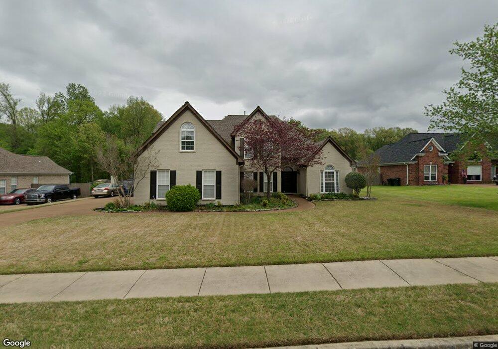
4316 Bridgestone Cir Memphis, TN 38135
Estimated Value: $424,000 - $477,000
5
Beds
4
Baths
3,716
Sq Ft
$121/Sq Ft
Est. Value
About This Home
This home is located at 4316 Bridgestone Cir, Memphis, TN 38135 and is currently estimated at $448,277, approximately $120 per square foot. 4316 Bridgestone Cir is a home located in Shelby County with nearby schools including Bon Lin Elementary School, Bon Lin Middle School, and Bartlett High School.
Ownership History
Date
Name
Owned For
Owner Type
Purchase Details
Closed on
Mar 31, 2003
Sold by
Terry & Terry Inc
Bought by
Morath James G and Morath Susan Dayton
Current Estimated Value
Home Financials for this Owner
Home Financials are based on the most recent Mortgage that was taken out on this home.
Original Mortgage
$194,320
Outstanding Balance
$83,417
Interest Rate
5.74%
Estimated Equity
$364,860
Purchase Details
Closed on
Jul 16, 2002
Sold by
Westbrook Farms
Bought by
Terry & Terry Inc
Home Financials for this Owner
Home Financials are based on the most recent Mortgage that was taken out on this home.
Original Mortgage
$416,000
Interest Rate
6.67%
Mortgage Type
Construction
Create a Home Valuation Report for This Property
The Home Valuation Report is an in-depth analysis detailing your home's value as well as a comparison with similar homes in the area
Home Values in the Area
Average Home Value in this Area
Purchase History
| Date | Buyer | Sale Price | Title Company |
|---|---|---|---|
| Morath James G | $242,900 | -- | |
| Terry & Terry Inc | $107,000 | -- |
Source: Public Records
Mortgage History
| Date | Status | Borrower | Loan Amount |
|---|---|---|---|
| Open | Morath James G | $194,320 | |
| Previous Owner | Terry & Terry Inc | $416,000 |
Source: Public Records
Tax History Compared to Growth
Tax History
| Year | Tax Paid | Tax Assessment Tax Assessment Total Assessment is a certain percentage of the fair market value that is determined by local assessors to be the total taxable value of land and additions on the property. | Land | Improvement |
|---|---|---|---|---|
| 2025 | $2,772 | $107,300 | $22,650 | $84,650 |
| 2024 | $2,772 | $81,775 | $14,950 | $66,825 |
| 2023 | $4,187 | $81,775 | $14,950 | $66,825 |
| 2022 | $2,772 | $81,775 | $14,950 | $66,825 |
| 2021 | $2,821 | $81,775 | $14,950 | $66,825 |
| 2020 | $3,682 | $62,625 | $14,950 | $47,675 |
| 2019 | $3,682 | $62,625 | $14,950 | $47,675 |
| 2018 | $3,682 | $62,625 | $14,950 | $47,675 |
| 2017 | $2,574 | $62,625 | $14,950 | $47,675 |
| 2016 | $2,741 | $62,725 | $0 | $0 |
| 2014 | $2,741 | $62,725 | $0 | $0 |
Source: Public Records
Map
Nearby Homes
- 4350 Bridgestone Cir
- 4621 Westbrook Rd
- 4500 Greencedar Ln
- 8224 Memphis Arlington Rd
- 8070 Memphis Arlington Rd
- 3942 Kimberly Dawn Cove
- 8007 Steven Franklin Dr
- 8051 Bourne Rd
- 7686 Shadow Glen Ln
- 8355 Craven Rd
- 4836 Shadow Pine Cove
- 8280 Rebecca Woods Dr
- 8086 Claredale Dr
- 8458 U S 70
- 4030 Windolyn Way
- 7890 Stephanie Cove
- 3869 Appling Rd
- 4431 Broadway Rd
- 4717 Shira Dr
- 7590 Romero Dr
- 4326 Bridgestone Cir
- 4306 Bridgestone Cir
- 4305 Strawbridge Cove
- 4315 Strawbridge Cove
- 4336 Bridgestone Cir
- 7912 Deerstone Dr
- 4321 Bridgestone Cir
- 4311 Bridgestone Cir
- 4295 Strawbridge Cove
- 7892 Deerstone Dr
- 4331 Bridgestone Cir
- 4361 Bridgestone Cir
- 7884 Deerstone Dr
- 4300 Strawbridge Cove
- 7901 Farmstone Cove
- 7911 Deerstone Dr
- 7921 Deerstone Dr
- 4369 Bridgestone Cir
- 7901 Deerstone Dr
- 7931 Deerstone Dr