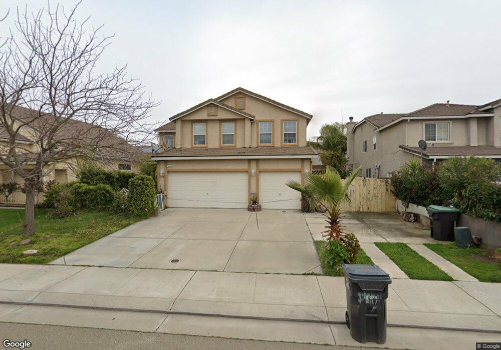
4318 McDougald Blvd Stockton, CA 95206
Weston Ranch NeighborhoodEstimated Value: $450,000 - $619,000
5
Beds
3
Baths
2,790
Sq Ft
$198/Sq Ft
Est. Value
About This Home
This home is located at 4318 McDougald Blvd, Stockton, CA 95206 and is currently estimated at $553,073, approximately $198 per square foot. 4318 McDougald Blvd is a home located in San Joaquin County with nearby schools including Great Valley Elementary School and Weston Ranch High School.
Ownership History
Date
Name
Owned For
Owner Type
Purchase Details
Closed on
Apr 12, 2001
Sold by
Westgate At Weston Ltd Partnership
Bought by
Pham Peter Dangkhoa and Doan Jeannie Lan
Current Estimated Value
Home Financials for this Owner
Home Financials are based on the most recent Mortgage that was taken out on this home.
Original Mortgage
$239,992
Interest Rate
6.51%
Create a Home Valuation Report for This Property
The Home Valuation Report is an in-depth analysis detailing your home's value as well as a comparison with similar homes in the area
Home Values in the Area
Average Home Value in this Area
Purchase History
| Date | Buyer | Sale Price | Title Company |
|---|---|---|---|
| Pham Peter Dangkhoa | $300,000 | Central Valley Title Company |
Source: Public Records
Mortgage History
| Date | Status | Borrower | Loan Amount |
|---|---|---|---|
| Previous Owner | Pham Peter Dangkhoa | $239,992 |
Source: Public Records
Tax History Compared to Growth
Tax History
| Year | Tax Paid | Tax Assessment Tax Assessment Total Assessment is a certain percentage of the fair market value that is determined by local assessors to be the total taxable value of land and additions on the property. | Land | Improvement |
|---|---|---|---|---|
| 2025 | $5,697 | $432,822 | $132,947 | $299,875 |
| 2024 | $5,520 | $424,337 | $130,341 | $293,996 |
| 2023 | $5,348 | $416,018 | $127,786 | $288,232 |
| 2022 | $5,243 | $407,862 | $125,281 | $282,581 |
| 2021 | $5,159 | $399,866 | $122,825 | $277,041 |
| 2020 | $4,960 | $395,767 | $121,566 | $274,201 |
| 2019 | $4,885 | $388,008 | $119,183 | $268,825 |
| 2018 | $4,836 | $380,401 | $116,847 | $263,554 |
| 2017 | $4,756 | $372,943 | $114,556 | $258,387 |
| 2016 | $4,603 | $365,632 | $112,310 | $253,322 |
| 2014 | $4,838 | $301,000 | $90,000 | $211,000 |
Source: Public Records
Map
Nearby Homes
- 4303 Giselle Ln
- 4309 Blake Cir
- 4154 Kassady Ct
- 4144 Blake Cir
- 761 Sandstone Dr
- 921 Kate Linde Cir
- 3812 Steve Lillie Cir
- 1044 Henry Long Blvd
- 703 Villanueva Ct
- 668 Flagstone Dr
- 624 Flagstone Dr
- 1141 Klemeyer Cir
- 1131 Klemeyer Cir
- 971 Kate Linde Cir
- 627 Queensland Cir
- 3707 French Camp
- 1117 Glenmohr Ct
- 3412 Shogoro Ln
- 3330 Konig Ct
- 4116 Vercelli St
- 4326 McDougald Blvd
- 4310 McDougald Blvd
- 4331 Giselle Ln
- 4345 Giselle Ln
- 4334 McDougald Blvd
- 4248 McDougald Blvd
- 4317 Giselle Ln
- 4359 Giselle Ln
- 4342 McDougald Blvd
- 4240 McDougald Blvd
- 4401 Giselle Ln
- 4350 McDougald Blvd
- 4241 Giselle Ln
- 4413 Giselle Ln
- 4232 McDougald Blvd
- 4355 Blake Cir
- 4330 Giselle Ln
- 4316 Giselle Ln
- 4419 Giselle Ln