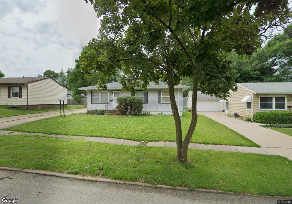
432 Carter St NW Cedar Rapids, IA 52405
Cherry Hill Park NeighborhoodEstimated Value: $177,000 - $195,000
3
Beds
2
Baths
1,001
Sq Ft
$186/Sq Ft
Est. Value
About This Home
This home is located at 432 Carter St NW, Cedar Rapids, IA 52405 and is currently estimated at $186,012, approximately $185 per square foot. 432 Carter St NW is a home located in Linn County with nearby schools including Junction City Elementary School, Maple Grove Elementary School, and North Middletown Elementary School.
Ownership History
Date
Name
Owned For
Owner Type
Purchase Details
Closed on
Dec 10, 2004
Sold by
Mccoy John A and Mccoy Carol M
Bought by
Mccoy John A and Mccoy Carol M
Current Estimated Value
Home Financials for this Owner
Home Financials are based on the most recent Mortgage that was taken out on this home.
Original Mortgage
$114,950
Interest Rate
7.6%
Mortgage Type
New Conventional
Create a Home Valuation Report for This Property
The Home Valuation Report is an in-depth analysis detailing your home's value as well as a comparison with similar homes in the area
Home Values in the Area
Average Home Value in this Area
Purchase History
| Date | Buyer | Sale Price | Title Company |
|---|---|---|---|
| Mccoy John A | -- | -- |
Source: Public Records
Mortgage History
| Date | Status | Borrower | Loan Amount |
|---|---|---|---|
| Closed | Mccoy John A | $114,950 |
Source: Public Records
Tax History Compared to Growth
Tax History
| Year | Tax Paid | Tax Assessment Tax Assessment Total Assessment is a certain percentage of the fair market value that is determined by local assessors to be the total taxable value of land and additions on the property. | Land | Improvement |
|---|---|---|---|---|
| 2025 | $2,488 | $172,600 | $36,900 | $135,700 |
| 2024 | $2,624 | $160,300 | $32,300 | $128,000 |
| 2023 | $2,624 | $151,100 | $32,300 | $118,800 |
| 2022 | $2,440 | $133,300 | $27,700 | $105,600 |
| 2021 | $2,438 | $126,700 | $27,700 | $99,000 |
| 2020 | $2,438 | $119,100 | $24,600 | $94,500 |
| 2019 | $2,278 | $114,200 | $24,600 | $89,600 |
| 2018 | $2,210 | $114,200 | $24,600 | $89,600 |
| 2017 | $2,294 | $113,900 | $24,600 | $89,300 |
| 2016 | $2,383 | $112,100 | $24,600 | $87,500 |
| 2015 | $2,427 | $114,061 | $24,584 | $89,477 |
| 2014 | $2,242 | $114,061 | $24,584 | $89,477 |
| 2013 | $2,190 | $114,061 | $24,584 | $89,477 |
Source: Public Records
Map
Nearby Homes
- 408 Jacolyn Dr NW
- 200 Cherry Park Dr NW
- 164 Cherry Hill Rd NW
- 5918 Sharon Ln NW
- 281 Jacolyn Dr NW
- 5127 Holly Ave NW
- 4975 Kesler Rd NW
- 272 Peace Ave NW
- 150 Meadowlark Ln NW
- 4819 Ford Ave NW
- 4819 Fruitwood Ln NW
- 236 Jacolyn Dr NW
- 229 Jacolyn Dr NW
- 106 Leroy St NW
- 208 Lenora Dr NW
- 6008 Eastview Ave SW
- 323 Norwick Rd SW
- 6608 Limestone Ct NW
- 916 Blue Stone St NW
- 1211 Wolf Dr NW
- 440 Carter St NW
- 424 Carter St NW
- 433 Day St NW
- 441 Day St NW Unit 6
- 448 Carter St NW
- 416 Carter St NW
- 417 Day St NW
- 433 Carter St NW
- 449 Day St NW
- 425 Carter St NW
- 441 Carter St NW
- 449 Carter St NW
- 409 Day St NW
- 417 Carter St NW
- 5435 D Ave NW
- 5443 D Ave NW
- 5453 D Ave NW
- 432 W Post Rd NW
- 432 Day St NW
- 5419 D Ave NW