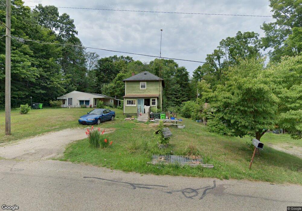
432 Johnson Ave Alliance, OH 44601
Estimated Value: $13,000 - $56,000
Studio
--
Bath
--
Sq Ft
6,490
Sq Ft Lot
About This Home
This home is located at 432 Johnson Ave, Alliance, OH 44601 and is currently estimated at $34,500. 432 Johnson Ave is a home located in Stark County with nearby schools including Alliance Early Learning School, Alliance Intermediate School at Northside, and Alliance Middle School.
Ownership History
Date
Name
Owned For
Owner Type
Purchase Details
Closed on
Mar 20, 2025
Sold by
Sheriff Of Stark County
Bought by
2S Marketing Digital Llc
Current Estimated Value
Purchase Details
Closed on
Mar 21, 1995
Sold by
George Charles A
Bought by
Burch Jacqueline
Purchase Details
Closed on
Aug 26, 1991
Purchase Details
Closed on
Jun 24, 1991
Create a Home Valuation Report for This Property
The Home Valuation Report is an in-depth analysis detailing your home's value as well as a comparison with similar homes in the area
Home Values in the Area
Average Home Value in this Area
Purchase History
| Date | Buyer | Sale Price | Title Company |
|---|---|---|---|
| 2S Marketing Digital Llc | $13,598 | None Listed On Document | |
| Burch Jacqueline | $19,300 | -- | |
| -- | -- | -- | |
| -- | $2,000 | -- |
Source: Public Records
Tax History
| Year | Tax Paid | Tax Assessment Tax Assessment Total Assessment is a certain percentage of the fair market value that is determined by local assessors to be the total taxable value of land and additions on the property. | Land | Improvement |
|---|---|---|---|---|
| 2025 | -- | $1,960 | $1,470 | $490 |
| 2024 | $3,328 | $1,960 | $1,470 | $490 |
| 2023 | $3,242 | $1,580 | $910 | $670 |
| 2022 | $65 | $1,580 | $910 | $670 |
| 2021 | $66 | $1,580 | $910 | $670 |
| 2020 | $53 | $1,200 | $740 | $460 |
| 2019 | $53 | $1,200 | $740 | $460 |
| 2018 | $53 | $1,200 | $740 | $460 |
| 2017 | $2,056 | $1,270 | $740 | $530 |
| 2016 | $1,916 | $1,270 | $740 | $530 |
| 2015 | $115 | $2,390 | $1,440 | $950 |
| 2014 | $108 | $2,250 | $1,370 | $880 |
| 2013 | $54 | $2,250 | $1,370 | $880 |
Source: Public Records
Map
Nearby Homes
- 432 Johnson Ave
- 550 Johnson Ave
- 347 Buckeye Ave
- 000 Meadowbrook Ave
- 160 Bonnieview Ave
- 0 Meadowbrook Ave
- 11335 Meadowbrook Ave NE
- 717 Garfield Ave
- 118 S Mckinley Ave
- 0 Homestead Ave NE
- 479 W High St
- 264 W Market St
- 171 1/2 W Main St
- 163 W Market St
- 664 Fairview Place
- 535 S Mckinley Ave
- 505 N Union Ave
- 0 W Main St Unit 5090123
- 228 W Oxford St
- 621 S Haines Ave
- 424 Johnson Ave
- 400 Johnson Ave
- 522 Johnson Ave
- 448 Buckeye Ave
- 411 Buckeye Ave
- 379 Buckeye Ave
- 372 Johnson Ave
- 410 Buckeye Ave
- 604 Johnson Ave
- 528 Buckeye Ave
- 363 Buckeye Ave
- 380 Buckeye Ave
- 508 Buckeye Ave
- 355 Buckeye Ave
- 538 Buckeye Ave
- 350 Johnson Ave
- 372 Buckeye Ave
- 372 Buckeye Ave
- 545 Buckeye Ave
- 626 Johnson Ave
Your Personal Tour Guide
Ask me questions while you tour the home.