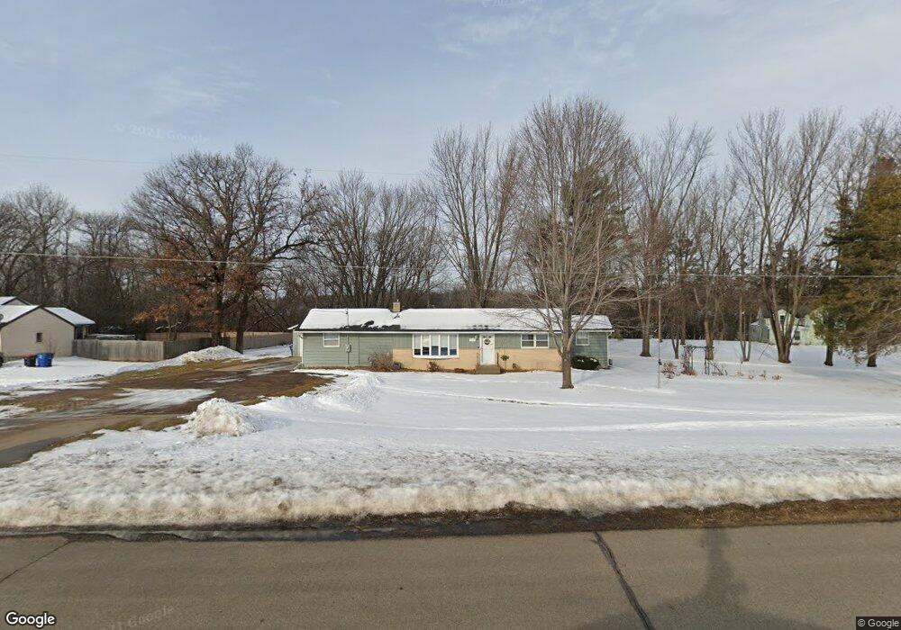
4320 Highway 61 W Red Wing, MN 55066
Estimated Value: $268,000 - $288,000
3
Beds
2
Baths
1,324
Sq Ft
$210/Sq Ft
Est. Value
About This Home
This home is located at 4320 Highway 61 W, Red Wing, MN 55066 and is currently estimated at $278,185, approximately $210 per square foot. 4320 Highway 61 W is a home located in Goodhue County with nearby schools including Burnside Elementary School, Sunnyside Elementary School, and Twin Bluff Middle School.
Ownership History
Date
Name
Owned For
Owner Type
Purchase Details
Closed on
Mar 10, 2015
Sold by
Lynch Linda K
Bought by
Ross Anthony G and Ross Jena L
Current Estimated Value
Purchase Details
Closed on
Jul 24, 2009
Sold by
Kuehni David and Kuehni Carla
Bought by
Thompson John R and Lynch Linda K
Create a Home Valuation Report for This Property
The Home Valuation Report is an in-depth analysis detailing your home's value as well as a comparison with similar homes in the area
Home Values in the Area
Average Home Value in this Area
Purchase History
| Date | Buyer | Sale Price | Title Company |
|---|---|---|---|
| Ross Anthony G | $143,000 | None Available | |
| Thompson John R | $150,000 | -- |
Source: Public Records
Tax History Compared to Growth
Tax History
| Year | Tax Paid | Tax Assessment Tax Assessment Total Assessment is a certain percentage of the fair market value that is determined by local assessors to be the total taxable value of land and additions on the property. | Land | Improvement |
|---|---|---|---|---|
| 2025 | $2,754 | $230,400 | $54,200 | $176,200 |
| 2024 | $1,366 | $226,100 | $54,100 | $172,000 |
| 2023 | $1,366 | $210,900 | $54,100 | $156,800 |
| 2022 | $2,404 | $206,100 | $47,600 | $158,500 |
| 2021 | $2,222 | $178,700 | $47,600 | $131,100 |
| 2020 | $2,212 | $168,900 | $47,600 | $121,300 |
| 2019 | $2,224 | $158,600 | $47,600 | $111,000 |
| 2018 | $1,788 | $161,000 | $46,400 | $114,600 |
| 2017 | $1,742 | $142,800 | $46,400 | $96,400 |
| 2016 | $1,620 | $141,100 | $46,400 | $94,700 |
| 2015 | $1,556 | $138,300 | $46,400 | $91,900 |
| 2014 | -- | $132,400 | $46,400 | $86,000 |
Source: Public Records
Map
Nearby Homes
- 132 Motel Ave
- 4336 Lookout Ln
- 232 Fern Ave
- 240 Motel Ave
- 237 Motel Ave
- 168 Johnson Ave
- 135 Kingswood Dr
- 980 Aurora Cir
- 808 Aurora Cir
- 936 Aurora Cir
- 853 Aurora Cir
- 912 Aurora Cir
- 4739 Big Sky Ct
- 4786 Mount Hood Ln
- 906 Snowbird Dr
- 921 Snowbird Dr
- 910 Snowbird Dr
- 914 Snowbird Dr
- 4958 Chalet Ct
- 4976 Chalet Ct
- 4330 Highway 61 W
- 4330 U S 61
- 4268 Highway 61 W
- 110 Fern Ave
- 120 Fern Ave
- 4333 Highway 61 W
- 130 Fern Ave
- 173 Cannon View Dr
- 159 Cannon View Dr
- 147 Cannon View Dr
- 131 Fern Ave
- 4323 Cady St
- 182 Fern Ave
- 137 Cannon View Dr
- 4331 Cady St
- 4313 Lookout Ln
- 164 Cannon View Dr
- 4374 Highway 61 W
- 4326 Lookout Ln
- 152 Cannon View Dr