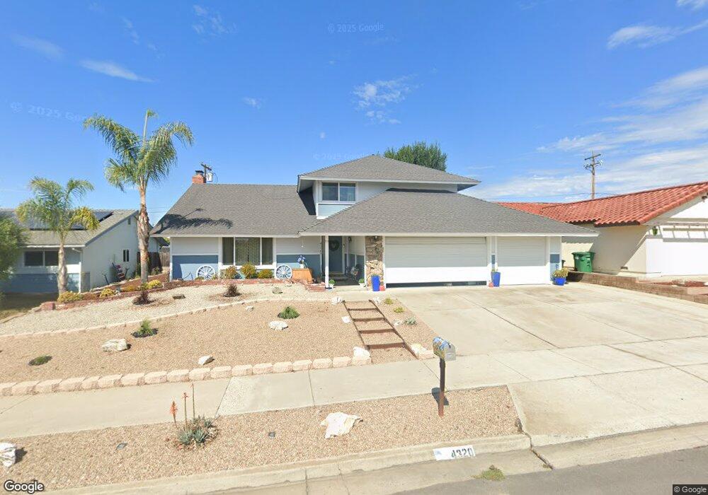
4320 Sirius Ave Unit 1 Lompoc, CA 93436
Estimated Value: $695,000 - $729,000
About This Home
This home is located at 4320 Sirius Ave Unit 1, Lompoc, CA 93436 and is currently estimated at $712,033, approximately $329 per square foot. 4320 Sirius Ave Unit 1 is a home located in Santa Barbara County with nearby schools including Buena Vista Elementary School, Cabrillo High School, and Olive Grove Charter - Lompoc.
Ownership History
We collect this data history from publicly available records. To have your information removed, we recommend requesting removal directly through your county’s website.
Purchase Details
Home Financials for this Owner
Home Financials are based on the most recent Mortgage that was taken out on this home.Home Values in the Area
Average Home Value in this Area
Purchase History
We collect this data history from publicly available records. To have your information removed, we recommend requesting removal directly through your county’s website.
| Date | Buyer | Sale Price | Title Company |
|---|---|---|---|
| $135,000 | Chicago Title Company |
Mortgage History
We collect this data history from publicly available records. To have your information removed, we recommend requesting removal directly through your county’s website.
| Date | Status | Borrower | Loan Amount |
|---|---|---|---|
| Previous Owner | $121,500 |
Tax History
We collect this data history from publicly available records. To have your information removed, we recommend requesting removal directly through your county’s website.
| Year | Tax Paid | Tax Assessment Tax Assessment Total Assessment is a certain percentage of the fair market value that is determined by local assessors to be the total taxable value of land and additions on the property. | Land | Improvement |
|---|---|---|---|---|
| 2025 | $3,145 | $257,527 | $101,650 | $155,877 |
| 2023 | $3,145 | $247,528 | $97,703 | $149,825 |
| 2022 | $3,098 | $242,676 | $95,788 | $146,888 |
| 2021 | $3,130 | $237,918 | $93,910 | $144,008 |
| 2020 | $3,100 | $235,480 | $92,948 | $142,532 |
| 2019 | $3,056 | $230,864 | $91,126 | $139,738 |
| 2018 | $3,015 | $226,339 | $89,340 | $136,999 |
| 2017 | $2,877 | $221,902 | $87,589 | $134,313 |
| 2016 | $2,559 | $217,552 | $85,872 | $131,680 |
| 2015 | $2,541 | $214,286 | $84,583 | $129,703 |
| 2014 | $2,505 | $210,090 | $82,927 | $127,163 |
Map
- 4220 Constellation Rd
- 4342 Scorpio Rd
- 4486 Titan Ave
- 4603 Falcon Dr
- 288 Antares Ave
- 277 Burton Mesa Blvd Unit B
- 3944 Mesa Circle Dr Unit A
- 259 Burton Mesa Blvd Unit A
- 18 Galaxy Way
- 245 Burton Mesa Blvd
- 245 Burton Mesa Blvd Unit B
- 3983 Agena Way
- 40 Galaxy Way
- 6 Stanford Cir
- 18 Stanford Cir
- 135 Oakmont Ave
- 453 Milky Way
- 3673 Constellation Rd
- 240 Oak Hill Dr
- 340 Oak Hill Dr
- 4336 Sirius Ave
- 4328 Sirius Ave
- 4344 Sirius Ave
- 4289 Polaris Ave
- 4312 Constellation Rd
- 4290 Polaris Ave
- 4310 Sirius Ave
- 4290 Constellation Rd
- 4279 Polaris Ave
- 4280 Polaris Ave
- 204 Pegasus Ave
- 4280 Constellation Rd
- 4304 Sirius Ave
- 4271 Polaris Ave
- 4270 Polaris Ave
- 208 Pegasus Ave
- 4270 Constellation Rd
- 4296 Sirius Ave
- 4401 Falcon Dr
- 4311 Constellation Rd Unit 1
Ask me questions while you tour the home.