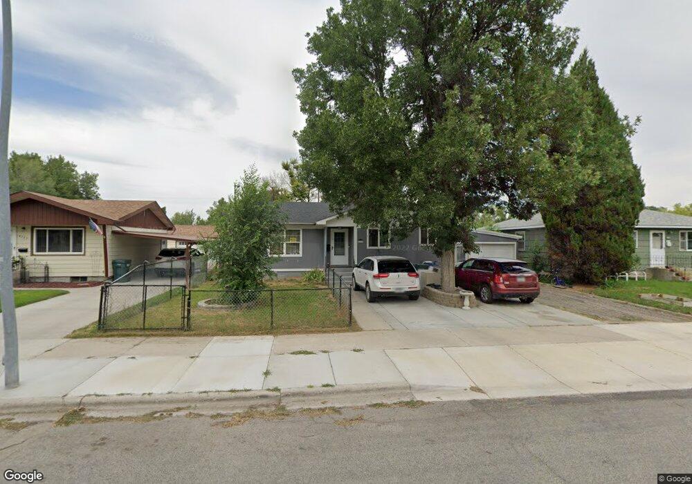
4321 Phillip St Billings, MT 59101
South Central Billings NeighborhoodEstimated Value: $285,514 - $309,000
4
Beds
1
Bath
1,192
Sq Ft
$247/Sq Ft
Est. Value
About This Home
This home is located at 4321 Phillip St, Billings, MT 59101 and is currently estimated at $294,879, approximately $247 per square foot. 4321 Phillip St is a home located in Yellowstone County with nearby schools including Ponderosa School, Riverside Junior High School, and Billings Senior High School.
Ownership History
Date
Name
Owned For
Owner Type
Purchase Details
Closed on
Jan 18, 2010
Sold by
Anderson Terry L and Anderson Anne M
Bought by
Langford Edward D
Current Estimated Value
Home Financials for this Owner
Home Financials are based on the most recent Mortgage that was taken out on this home.
Original Mortgage
$156,187
Outstanding Balance
$101,132
Interest Rate
4.68%
Mortgage Type
VA
Estimated Equity
$193,747
Create a Home Valuation Report for This Property
The Home Valuation Report is an in-depth analysis detailing your home's value as well as a comparison with similar homes in the area
Home Values in the Area
Average Home Value in this Area
Purchase History
| Date | Buyer | Sale Price | Title Company |
|---|---|---|---|
| Langford Edward D | -- | St |
Source: Public Records
Mortgage History
| Date | Status | Borrower | Loan Amount |
|---|---|---|---|
| Open | Langford Edward D | $156,187 |
Source: Public Records
Tax History Compared to Growth
Tax History
| Year | Tax Paid | Tax Assessment Tax Assessment Total Assessment is a certain percentage of the fair market value that is determined by local assessors to be the total taxable value of land and additions on the property. | Land | Improvement |
|---|---|---|---|---|
| 2025 | $2,481 | $287,500 | $40,793 | $246,707 |
| 2024 | $2,481 | $239,300 | $40,468 | $198,832 |
| 2023 | $2,481 | $239,300 | $40,468 | $198,832 |
| 2022 | $2,196 | $184,600 | $0 | $0 |
| 2021 | $2,094 | $184,600 | $0 | $0 |
| 2020 | $1,935 | $159,500 | $0 | $0 |
| 2019 | $1,853 | $159,500 | $0 | $0 |
| 2018 | $1,906 | $162,500 | $0 | $0 |
| 2017 | $1,504 | $162,500 | $0 | $0 |
| 2016 | $1,714 | $150,300 | $0 | $0 |
| 2015 | $1,678 | $150,300 | $0 | $0 |
| 2014 | $1,490 | $69,748 | $0 | $0 |
Source: Public Records
Map
Nearby Homes
- 4413 Ryan Ave
- 4444 Morgan Ave
- 605 Calhoun Ln
- 4611 Murphy Ave
- 342 Jackson St
- 329 Jackson St
- 328 Viceroy St
- 3905 King Ave E
- 307 S Billings Blvd Unit 36
- 720 Washington St
- 48 Jackson St
- 137 Jefferson St
- 4131 Buchanan Ave
- 3939 3rd Ave S
- 418 Cook Ave
- 523 Riverside Rd
- 43 Prickett Ln
- 226 Moore Ln
- 3615 6th Ave S
- 618 & 620 Howard Ave
- 4325 Phillip St
- 4315 Phillip St
- 4331 Phillip St
- 4311 Phillip St
- 4320 Ryan Ave
- 4324 Ryan Ave
- 4316 Ryan Ave
- 4328 Ryan Ave
- 4324 Phillip St
- 4335 Phillip St
- 4307 Phillip St
- 4332 Phillip St
- 4310 Ryan Ave
- 4332 Ryan Ave
- 4312 Phillip St
- 4336 Phillip St
- 4306 Ryan Ave
- 4303 Phillip St
- 4336 Ryan Ave
- 4340 Phillip St