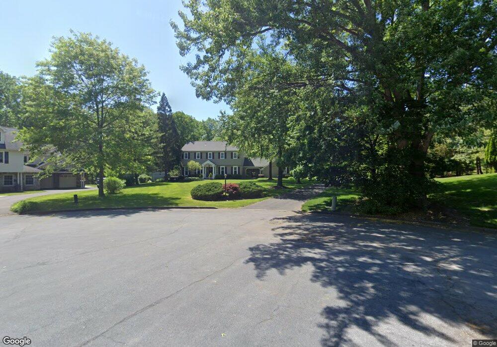
4323 Angus Cir Doylestown, PA 18902
Estimated Value: $761,000 - $987,000
4
Beds
4
Baths
3,589
Sq Ft
$248/Sq Ft
Est. Value
About This Home
This home is located at 4323 Angus Cir, Doylestown, PA 18902 and is currently estimated at $891,068, approximately $248 per square foot. 4323 Angus Cir is a home located in Bucks County with nearby schools including Buckingham Elementary School, Holicong Middle School, and Central Bucks High School - East.
Ownership History
Date
Name
Owned For
Owner Type
Purchase Details
Closed on
Jul 28, 1972
Sold by
Buckingham Dev Inc
Bought by
Marshall William L and Marshall Patricia F
Current Estimated Value
Create a Home Valuation Report for This Property
The Home Valuation Report is an in-depth analysis detailing your home's value as well as a comparison with similar homes in the area
Home Values in the Area
Average Home Value in this Area
Purchase History
| Date | Buyer | Sale Price | Title Company |
|---|---|---|---|
| Marshall William L | $46,200 | -- |
Source: Public Records
Tax History Compared to Growth
Tax History
| Year | Tax Paid | Tax Assessment Tax Assessment Total Assessment is a certain percentage of the fair market value that is determined by local assessors to be the total taxable value of land and additions on the property. | Land | Improvement |
|---|---|---|---|---|
| 2025 | $8,661 | $53,200 | $8,440 | $44,760 |
| 2024 | $8,661 | $53,200 | $8,440 | $44,760 |
| 2023 | $8,368 | $53,200 | $8,440 | $44,760 |
| 2022 | $8,268 | $53,200 | $8,440 | $44,760 |
| 2021 | $8,169 | $53,200 | $8,440 | $44,760 |
| 2020 | $8,169 | $53,200 | $8,440 | $44,760 |
| 2019 | $8,116 | $53,200 | $8,440 | $44,760 |
| 2018 | $8,116 | $53,200 | $8,440 | $44,760 |
| 2017 | $8,049 | $53,200 | $8,440 | $44,760 |
| 2016 | $8,129 | $53,200 | $8,440 | $44,760 |
| 2015 | -- | $53,200 | $8,440 | $44,760 |
| 2014 | -- | $53,200 | $8,440 | $44,760 |
Source: Public Records
Map
Nearby Homes
- 2728 Red Gate Dr
- 2799 Manion Way
- 2880 Snake Hill Rd
- 4604 Sands Way
- 2565 Bogarts Tavern Rd
- 4350 Church Rd
- 2479 Wheatfield Ln
- 3146 Mill Rd
- 3889 Robin Rd
- 3111 Burnt House Hill Rd
- 3196 Mill Rd
- 4245 Mechanicsville Rd
- lot #3 next to 3739 York Rd
- 5025 Anderson Rd
- 3772 Powder Horn Dr
- 3015 Yorkshire Rd
- 3775 Buckingham Dr
- 4871 E Blossom Dr
- 3657 Powder Horn Dr
- 1908 Durham Rd
- 4327 Angus Cir
- 4330 Angus Cir
- 2688 Red Gate Dr
- 4343 Angus Cir
- 2666 Red Gate Dr
- 2636 Red Gate Dr
- 4356 Angus Cir
- 4355 Angus Cir
- 4300 Sunnyside Dr Unit LOT 27
- 4300 Sunnyside Dr
- 4308 Sunnyside Dr
- 2610 Red Gate Dr
- 2714 Red Gate Dr
- 4314 Sunnyside Dr
- 2661 Red Gate Dr
- 2685 Red Gate Dr
- 4365 Angus Cir
- 2779 Sutton Place
- 2641 Red Gate Dr
- 4280 Sunnyside Dr