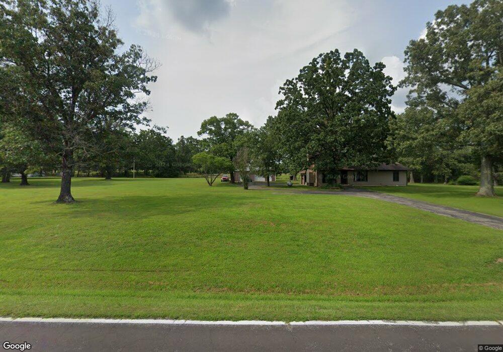
4325 State Route Ab West Plains, MO 65775
Estimated Value: $197,000
--
Bed
--
Bath
1,512
Sq Ft
$130/Sq Ft
Est. Value
About This Home
This home is located at 4325 State Route Ab, West Plains, MO 65775 and is currently estimated at $197,000, approximately $130 per square foot. 4325 State Route Ab is a home with nearby schools including West Plains Senior High School and Faith Assembly Christian School.
Ownership History
Date
Name
Owned For
Owner Type
Purchase Details
Closed on
Jul 26, 2023
Sold by
Johnson Logan Gregory and Johnson Kaitlyn Marie
Bought by
Hicks William Homer and Hicks Linda Kaye
Current Estimated Value
Home Financials for this Owner
Home Financials are based on the most recent Mortgage that was taken out on this home.
Original Mortgage
$191,414
Outstanding Balance
$183,234
Interest Rate
3.92%
Mortgage Type
New Conventional
Estimated Equity
$13,766
Purchase Details
Closed on
Mar 18, 2022
Sold by
Hicks William Homer and Hicks Linda Kaye
Bought by
Johnson Logan Gregory and Johnson Kaitlyn Marie
Home Financials for this Owner
Home Financials are based on the most recent Mortgage that was taken out on this home.
Original Mortgage
$191,414
Interest Rate
3.55%
Mortgage Type
New Conventional
Purchase Details
Closed on
Oct 2, 2009
Sold by
H & K Investment Llc
Bought by
Hicks William Homer and Hicks Linda
Create a Home Valuation Report for This Property
The Home Valuation Report is an in-depth analysis detailing your home's value as well as a comparison with similar homes in the area
Home Values in the Area
Average Home Value in this Area
Purchase History
| Date | Buyer | Sale Price | Title Company |
|---|---|---|---|
| Hicks William Homer | -- | Southern Missouri Land Service | |
| Johnson Logan Gregory | -- | New Title Company Name | |
| Hicks William Homer | -- | None Available |
Source: Public Records
Mortgage History
| Date | Status | Borrower | Loan Amount |
|---|---|---|---|
| Open | Hicks William Homer | $191,414 | |
| Previous Owner | Johnson Logan Gregory | $191,414 |
Source: Public Records
Tax History Compared to Growth
Tax History
| Year | Tax Paid | Tax Assessment Tax Assessment Total Assessment is a certain percentage of the fair market value that is determined by local assessors to be the total taxable value of land and additions on the property. | Land | Improvement |
|---|---|---|---|---|
| 2025 | $26 | $610 | $440 | $170 |
| 2024 | $1,017 | $590 | -- | -- |
| 2023 | $1,017 | $23,300 | $0 | $0 |
| 2022 | $962 | $22,080 | $0 | $0 |
| 2021 | $899 | $22,080 | $0 | $0 |
| 2020 | $899 | $20,130 | $0 | $0 |
| 2019 | $935 | $20,130 | $0 | $0 |
| 2018 | $863 | $18,570 | $0 | $0 |
| 2017 | $859 | $18,570 | $0 | $0 |
| 2015 | -- | $18,570 | $0 | $0 |
| 2014 | -- | $18,540 | $0 | $0 |
| 2013 | -- | $18,540 | $0 | $0 |
Source: Public Records
Map
Nearby Homes
- 4365 Private Road 6314
- 4388 Private Road 6314
- 4359 U S 160
- 4427 County Road 6620
- 0 State Route Jj
- 3605 County Road 6760
- 000 Private Road 8825
- 4808 County Road 8940
- 5019 Private Road 8948
- 9666 County Road 6070
- 1452 County Road 6310
- 11076 County Road 6230
- 10733 County Road 8070
- 5038 County Road 8940
- 000 Arrowhead Acres
- 0 Lanton Rd
- 000 County Road 8190
- 10567 County Road 8130
- 000 Sienna
- 5714 Private Road 8072
- 4301 State Route Ab
- 10167 Private Road 6313
- 4259 State Route Ab
- 10189 Private Road 6313
- 4300 Private Road 6314
- 4253 State Route Ab
- 4318 Private Road 6314
- 10164 Private Road 6313
- 10187 Private Road 6311
- 4211 State Route Ab
- 4313 Private Road 6314 Unit 6314
- 4313 Private Road 6314
- 10168 Private Road 6311
- 4204 State Route Ab
- 10188 Private Road 6311
- 4358 Private Road 6314
- 4365 Private Road 6314
- 10003 County Road 6310
- 10147 County Road 6310
- 4163 State Route Ab