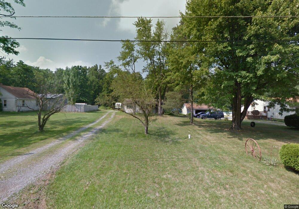
4326 Pembrook Rd Youngstown, OH 44515
Austintown NeighborhoodEstimated Value: $186,000 - $215,000
3
Beds
1
Bath
1,214
Sq Ft
$165/Sq Ft
Est. Value
About This Home
This home is located at 4326 Pembrook Rd, Youngstown, OH 44515 and is currently estimated at $200,500, approximately $165 per square foot. 4326 Pembrook Rd is a home located in Mahoning County with nearby schools including Austintown Elementary School, Austintown Intermediate School, and Austintown Middle School.
Ownership History
Date
Name
Owned For
Owner Type
Purchase Details
Closed on
Aug 3, 2021
Sold by
Meacham Ralph T
Bought by
Mahoning County Land Reutilization Corp
Current Estimated Value
Purchase Details
Closed on
May 4, 2005
Sold by
Estate Of James R Jones
Bought by
Jones Judith
Purchase Details
Closed on
Aug 29, 2000
Sold by
Schon Judith A
Bought by
Jones James R and Jones Judith A
Home Financials for this Owner
Home Financials are based on the most recent Mortgage that was taken out on this home.
Original Mortgage
$58,000
Interest Rate
7.81%
Purchase Details
Closed on
Sep 11, 1972
Bought by
Schon Judith A
Create a Home Valuation Report for This Property
The Home Valuation Report is an in-depth analysis detailing your home's value as well as a comparison with similar homes in the area
Home Values in the Area
Average Home Value in this Area
Purchase History
| Date | Buyer | Sale Price | Title Company |
|---|---|---|---|
| Mahoning County Land Reutilization Corp | -- | None Available | |
| Jones Judith | -- | -- | |
| Jones James R | -- | -- | |
| Schon Judith A | -- | -- |
Source: Public Records
Mortgage History
| Date | Status | Borrower | Loan Amount |
|---|---|---|---|
| Previous Owner | Jones James R | $58,000 |
Source: Public Records
Tax History Compared to Growth
Tax History
| Year | Tax Paid | Tax Assessment Tax Assessment Total Assessment is a certain percentage of the fair market value that is determined by local assessors to be the total taxable value of land and additions on the property. | Land | Improvement |
|---|---|---|---|---|
| 2024 | -- | $2,870 | $2,870 | -- |
| 2022 | $0 | $2,870 | $2,870 | $0 |
| 2021 | $1,003 | $11,510 | $3,060 | $8,450 |
| 2020 | $1,152 | $11,510 | $3,060 | $8,450 |
| 2019 | $718 | $11,510 | $3,060 | $8,450 |
| 2018 | $2,019 | $11,510 | $3,060 | $8,450 |
| 2017 | $633 | $11,510 | $3,060 | $8,450 |
| 2016 | $976 | $16,200 | $4,030 | $12,170 |
| 2015 | $994 | $16,200 | $4,030 | $12,170 |
| 2014 | -- | $16,200 | $4,030 | $12,170 |
| 2013 | $940 | $16,200 | $4,030 | $12,170 |
Source: Public Records
Map
Nearby Homes
- 4262 Pembrook Rd
- 4234 Burkey Rd
- 4102 Burkey Rd
- 4235 Patricia Ave
- 4314 Kerrybrook Dr
- 532 Westgate Blvd
- 603 S Raccoon Rd Unit 14
- 603 S Raccoon Rd Unit 9
- 603 S Raccoon Rd Unit 61
- 4241 Wedgewood Dr
- 4289 Wedgewood Dr
- 3890 Ayrshire Dr
- 3972 Artmar Dr
- 0 Elmwood Ave
- 0 S Raccoon Rd Unit 5142489
- 3852 Edinburgh Dr
- 225 S Raccoon Rd
- 263 S Main St
- 1439 Bexley Dr
- 209 S Beverly Ave
- 4314 Pembrook Rd
- 4338 Pembrook Rd
- 4308 Pembrook Rd
- 4344 Pembrook Rd
- 4304 Pembrook Rd
- 4300 Pembrook Rd
- 4331 Pembrook Rd
- 4292 Pembrook Rd
- 4345 Pembrook Rd
- 4301 Pembrook Rd
- 4286 Pembrook Rd
- 4355 Pembrook Rd
- 4297 Pembrook Rd
- 4293 Pembrook Rd
- 1501 S Raccoon Rd
- 4287 Pembrook Rd
- 4305 Burkey Rd
- 4268 Pembrook Rd
- 4375 Pembrook Rd
- 4275 Pembrook Rd