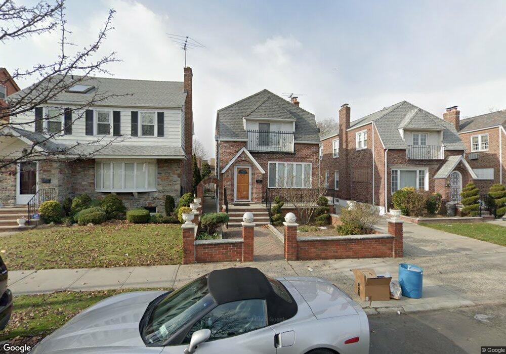
4328 193rd St Flushing, NY 11358
Auburndale NeighborhoodEstimated Value: $1,092,000 - $1,209,000
Studio
--
Bath
1,520
Sq Ft
$755/Sq Ft
Est. Value
About This Home
This home is located at 4328 193rd St, Flushing, NY 11358 and is currently estimated at $1,147,694, approximately $755 per square foot. 4328 193rd St is a home located in Queens County with nearby schools including P.S. 107 Thomas A Dooley, I.S. 25 Adrien Block, and Francis Lewis High School.
Ownership History
Date
Name
Owned For
Owner Type
Purchase Details
Closed on
May 13, 2004
Sold by
Tsomos Katherine
Bought by
Lewis Kenrick M
Current Estimated Value
Home Financials for this Owner
Home Financials are based on the most recent Mortgage that was taken out on this home.
Original Mortgage
$446,250
Interest Rate
5.88%
Mortgage Type
Purchase Money Mortgage
Purchase Details
Closed on
May 1, 1996
Sold by
Michaelides Roy and Michaelides Ekaterini
Bought by
Tsomos Katherine
Create a Home Valuation Report for This Property
The Home Valuation Report is an in-depth analysis detailing your home's value as well as a comparison with similar homes in the area
Home Values in the Area
Average Home Value in this Area
Purchase History
| Date | Buyer | Sale Price | Title Company |
|---|---|---|---|
| Lewis Kenrick M | $595,000 | -- | |
| Tsomos Katherine | -- | -- |
Source: Public Records
Mortgage History
| Date | Status | Borrower | Loan Amount |
|---|---|---|---|
| Previous Owner | Lewis Kenrick M | $446,250 |
Source: Public Records
Tax History
| Year | Tax Paid | Tax Assessment Tax Assessment Total Assessment is a certain percentage of the fair market value that is determined by local assessors to be the total taxable value of land and additions on the property. | Land | Improvement |
|---|---|---|---|---|
| 2025 | $10,171 | $52,752 | $14,640 | $38,112 |
| 2024 | $10,171 | $50,640 | $16,244 | $34,396 |
| 2023 | $9,595 | $47,774 | $12,984 | $34,790 |
| 2022 | $9,537 | $58,500 | $18,900 | $39,600 |
| 2021 | $9,591 | $53,880 | $18,900 | $34,980 |
| 2020 | $9,305 | $53,700 | $18,900 | $34,800 |
| 2019 | $8,828 | $55,980 | $18,900 | $37,080 |
| 2018 | $7,818 | $39,812 | $16,436 | $23,376 |
| 2017 | $7,816 | $39,812 | $15,256 | $24,556 |
| 2016 | $7,282 | $39,812 | $15,256 | $24,556 |
| 2015 | $4,310 | $36,633 | $18,528 | $18,105 |
| 2014 | $4,310 | $35,167 | $20,652 | $14,515 |
Source: Public Records
Map
Nearby Homes
- 43-44 195th St
- 4539 192nd St
- 45-47 193rd St
- 45-31 195th St
- 4048 194th St Unit A3
- 42-25 189th St
- 4552 196th St
- 188-02 Northern Blvd
- 40-38 194th St Unit 1A
- 4038 194th St Unit 3B
- 42-28 189th St
- 190-17 42nd Ave
- 4604 195th St
- 4032 195th St
- 196-64 45th Ave
- 45-66 196th Place
- 45-32 Utopia Pkwy
- 19112 Station Rd
- 192-14 Station Rd
- 42-36 201st St
Your Personal Tour Guide
Ask me questions while you tour the home.