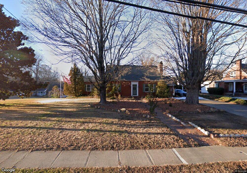
433 N Main St Mocksville, NC 27028
Estimated Value: $265,000 - $365,000
4
Beds
2
Baths
2,720
Sq Ft
$110/Sq Ft
Est. Value
About This Home
This home is located at 433 N Main St, Mocksville, NC 27028 and is currently estimated at $299,430, approximately $110 per square foot. 433 N Main St is a home located in Davie County with nearby schools including Mocksville Elementary School, South Davie Middle, and Davie County High School.
Ownership History
Date
Name
Owned For
Owner Type
Purchase Details
Closed on
Dec 15, 2025
Sold by
Lauwers Robert T and Lauwers Julie W
Bought by
Harding Matthew Aaron
Current Estimated Value
Home Financials for this Owner
Home Financials are based on the most recent Mortgage that was taken out on this home.
Original Mortgage
$220,000
Outstanding Balance
$220,000
Interest Rate
6.17%
Mortgage Type
New Conventional
Estimated Equity
$79,430
Purchase Details
Closed on
Jun 23, 2022
Sold by
Theron Lauwers Jr Robert and White Julie
Bought by
Robert T Lauwers Revocable Trust
Purchase Details
Closed on
Jan 15, 2015
Sold by
Burazer Gregory and Burazer Julia
Bought by
Lauwers Robert and Lauwers Julie
Purchase Details
Closed on
Dec 15, 2010
Sold by
Nichols John D and Nichols Pamela M
Bought by
Burazer Gregory and Burazer Julia
Purchase Details
Closed on
May 1, 1998
Purchase Details
Closed on
Jul 1, 1995
Create a Home Valuation Report for This Property
The Home Valuation Report is an in-depth analysis detailing your home's value as well as a comparison with similar homes in the area
Home Values in the Area
Average Home Value in this Area
Purchase History
| Date | Buyer | Sale Price | Title Company |
|---|---|---|---|
| Harding Matthew Aaron | $275,000 | None Listed On Document | |
| Robert T Lauwers Revocable Trust | -- | Ingersoll Marc W | |
| Robert T Lauwers Revocable Trust | -- | Ingersoll Marc W | |
| Lauwers Robert | $120,000 | None Available | |
| Burazer Gregory | $137,500 | -- | |
| -- | $134,000 | -- | |
| -- | $85,000 | -- |
Source: Public Records
Mortgage History
| Date | Status | Borrower | Loan Amount |
|---|---|---|---|
| Open | Harding Matthew Aaron | $220,000 |
Source: Public Records
Tax History Compared to Growth
Tax History
| Year | Tax Paid | Tax Assessment Tax Assessment Total Assessment is a certain percentage of the fair market value that is determined by local assessors to be the total taxable value of land and additions on the property. | Land | Improvement |
|---|---|---|---|---|
| 2025 | $1,836 | $187,580 | $23,720 | $163,860 |
| 2024 | $1,550 | $145,860 | $40,000 | $105,860 |
| 2023 | $1,550 | $145,860 | $40,000 | $105,860 |
| 2022 | $1,558 | $145,860 | $40,000 | $105,860 |
| 2021 | $1,550 | $145,860 | $40,000 | $105,860 |
| 2020 | $1,464 | $137,050 | $40,000 | $97,050 |
| 2019 | $1,464 | $137,050 | $40,000 | $97,050 |
| 2018 | $1,464 | $137,050 | $40,000 | $97,050 |
| 2017 | $1,450 | $137,050 | $0 | $0 |
| 2016 | $1,485 | $140,390 | $0 | $0 |
| 2015 | $1,485 | $140,390 | $0 | $0 |
| 2014 | -- | $140,390 | $0 | $0 |
| 2013 | -- | $140,390 | $0 | $0 |
Source: Public Records
Map
Nearby Homes
- 214 Park Ave
- 110 W Church St
- 351 Honeysuckle St
- 408 Pine St
- 1 lot E Depot St
- 196 Carriage Cove Cir
- 240 Tot St
- 156 Spruce St
- 235 Spring St
- 836 Garner St
- 107 Hillcrest St
- 112 Holman St
- 701 E Lexington Rd
- 3939 U S Highway 64
- 2082 U S Highway 64 Unit 2
- 3929 U S Highway 64
- 3939 U S Highway 64 Unit 5
- 3929 U S Highway 64 Unit 7
- 135 Winding Creek Rd
- 744 Wilkesboro St