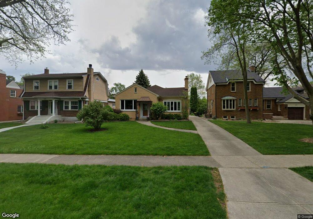
433 Uvedale Rd Riverside, IL 60546
Estimated Value: $513,000 - $569,000
3
Beds
2
Baths
1,714
Sq Ft
$315/Sq Ft
Est. Value
About This Home
This home is located at 433 Uvedale Rd, Riverside, IL 60546 and is currently estimated at $539,591, approximately $314 per square foot. 433 Uvedale Rd is a home located in Cook County with nearby schools including A F Ames Elementary School, L J Hauser Jr High School, and Riverside Brookfield High School.
Ownership History
Date
Name
Owned For
Owner Type
Purchase Details
Closed on
Aug 10, 2017
Sold by
Crmelir Frank James
Bought by
Ruckman Matthew J and Budzien Stacy L
Current Estimated Value
Home Financials for this Owner
Home Financials are based on the most recent Mortgage that was taken out on this home.
Original Mortgage
$255,500
Outstanding Balance
$208,088
Interest Rate
3.37%
Mortgage Type
Adjustable Rate Mortgage/ARM
Estimated Equity
$331,503
Create a Home Valuation Report for This Property
The Home Valuation Report is an in-depth analysis detailing your home's value as well as a comparison with similar homes in the area
Home Values in the Area
Average Home Value in this Area
Purchase History
| Date | Buyer | Sale Price | Title Company |
|---|---|---|---|
| Ruckman Matthew J | $365,000 | Chicago Title |
Source: Public Records
Mortgage History
| Date | Status | Borrower | Loan Amount |
|---|---|---|---|
| Open | Ruckman Matthew J | $255,500 |
Source: Public Records
Tax History
| Year | Tax Paid | Tax Assessment Tax Assessment Total Assessment is a certain percentage of the fair market value that is determined by local assessors to be the total taxable value of land and additions on the property. | Land | Improvement |
|---|---|---|---|---|
| 2025 | $11,858 | $40,382 | $12,735 | $27,647 |
| 2024 | $11,858 | $40,382 | $12,735 | $27,647 |
| 2023 | $12,515 | $40,382 | $12,735 | $27,647 |
| 2022 | $12,515 | $36,094 | $10,998 | $25,096 |
| 2021 | $12,058 | $36,093 | $10,998 | $25,095 |
| 2020 | $11,744 | $36,093 | $10,998 | $25,095 |
| 2019 | $11,640 | $36,500 | $10,129 | $26,371 |
| 2018 | $11,296 | $36,500 | $10,129 | $26,371 |
| 2017 | $12,065 | $36,500 | $10,129 | $26,371 |
| 2016 | $12,201 | $34,646 | $8,682 | $25,964 |
| 2015 | $11,922 | $34,646 | $8,682 | $25,964 |
| 2014 | $11,718 | $34,646 | $8,682 | $25,964 |
| 2013 | $10,400 | $37,845 | $8,103 | $29,742 |
Source: Public Records
Map
Nearby Homes
- 410 Repton Rd
- 478 Kent Rd
- 101 Southcote Rd
- 562 Byrd Rd
- 315 Bartram Rd
- 571 Byrd Rd
- 231 Bartram Rd
- 269 Shenstone Rd
- 367 Bartram Rd
- 484 Shenstone Rd
- 369 Addison Rd
- 2817 Maple Ave
- 475 Shenstone Rd Unit 104
- 475 Shenstone Rd Unit 304
- 475 Shenstone Rd Unit 303
- 305 Desplaines Ave
- 2527 Keystone Ave
- 2433 Keystone Ave
- 2816 Wenonah Ave
- 2252 Northgate Ave
- 437 Uvedale Rd
- 427 Uvedale Rd
- 441 Uvedale Rd
- 423 Uvedale Rd
- 445 Uvedale Rd
- 419 Uvedale Rd
- 449 Uvedale Rd
- 236 Southcote Rd
- 234 Southcote Rd
- 411 Uvedale Rd
- 453 Uvedale Rd
- 242 Southcote Rd
- 228 Southcote Rd
- 246 Southcote Rd
- 436 Uvedale Rd
- 224 Southcote Rd
- 457 Uvedale Rd
- 220 Southcote Rd
- 444 Uvedale Ct
- 403 Uvedale Rd
Your Personal Tour Guide
Ask me questions while you tour the home.