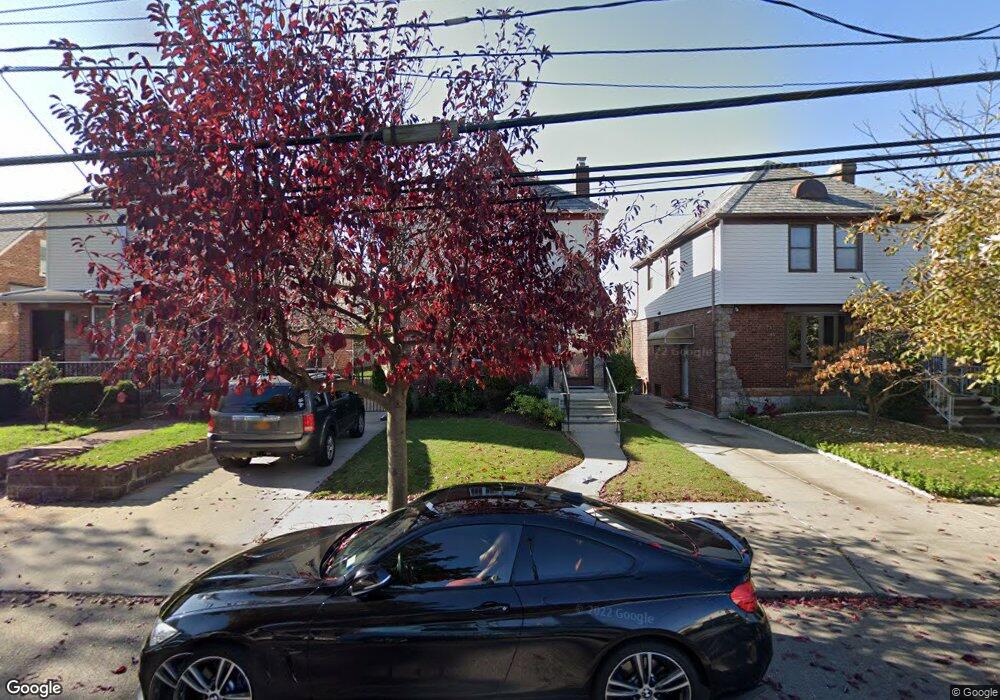
4330 189th St Flushing, NY 11358
Auburndale NeighborhoodEstimated Value: $997,997 - $1,133,000
--
Bed
--
Bath
1,395
Sq Ft
$772/Sq Ft
Est. Value
About This Home
This home is located at 4330 189th St, Flushing, NY 11358 and is currently estimated at $1,076,499, approximately $771 per square foot. 4330 189th St is a home located in Queens County with nearby schools including I.S. 25 Adrien Block, Francis Lewis High School, and St. Andrew Avellino Catholic Academy.
Ownership History
Date
Name
Owned For
Owner Type
Purchase Details
Closed on
Mar 10, 2005
Sold by
Liang Chia-Ying and Liang Henry
Bought by
Pornpitaksuk Anchalee and Pornpitaksuk Surapong
Current Estimated Value
Home Financials for this Owner
Home Financials are based on the most recent Mortgage that was taken out on this home.
Original Mortgage
$320,000
Interest Rate
5.56%
Mortgage Type
Purchase Money Mortgage
Purchase Details
Closed on
Oct 19, 2000
Sold by
Quinn Raymond and Quinn Ethna
Bought by
Liang Henry and Liang Chia Ying
Home Financials for this Owner
Home Financials are based on the most recent Mortgage that was taken out on this home.
Original Mortgage
$316,000
Interest Rate
7.81%
Purchase Details
Closed on
Feb 3, 1994
Sold by
Siil Karl
Bought by
Quinn Raymond and Quinn Ethna
Home Financials for this Owner
Home Financials are based on the most recent Mortgage that was taken out on this home.
Original Mortgage
$138,750
Interest Rate
6.96%
Create a Home Valuation Report for This Property
The Home Valuation Report is an in-depth analysis detailing your home's value as well as a comparison with similar homes in the area
Home Values in the Area
Average Home Value in this Area
Purchase History
| Date | Buyer | Sale Price | Title Company |
|---|---|---|---|
| Pornpitaksuk Anchalee | $630,000 | -- | |
| Liang Henry | $410,000 | -- | |
| Quinn Raymond | $185,000 | Chicago Title Insurance Co |
Source: Public Records
Mortgage History
| Date | Status | Borrower | Loan Amount |
|---|---|---|---|
| Previous Owner | Pornpitaksuk Anchalee | $320,000 | |
| Previous Owner | Liang Henry | $316,000 | |
| Previous Owner | Quinn Raymond | $138,750 |
Source: Public Records
Tax History Compared to Growth
Tax History
| Year | Tax Paid | Tax Assessment Tax Assessment Total Assessment is a certain percentage of the fair market value that is determined by local assessors to be the total taxable value of land and additions on the property. | Land | Improvement |
|---|---|---|---|---|
| 2025 | $8,594 | $44,191 | $12,509 | $31,682 |
| 2024 | $8,606 | $44,190 | $12,048 | $32,142 |
| 2023 | $8,321 | $42,830 | $12,787 | $30,043 |
| 2022 | $7,368 | $52,380 | $17,340 | $35,040 |
| 2021 | $7,919 | $53,760 | $17,340 | $36,420 |
| 2020 | $7,499 | $56,880 | $17,340 | $39,540 |
| 2019 | $7,411 | $56,580 | $17,340 | $39,240 |
| 2018 | $6,978 | $35,692 | $12,064 | $23,628 |
| 2017 | $6,565 | $33,674 | $12,241 | $21,433 |
| 2016 | $6,193 | $33,674 | $12,241 | $21,433 |
| 2015 | $3,612 | $30,688 | $16,782 | $13,906 |
| 2014 | $3,612 | $30,688 | $16,782 | $13,906 |
Source: Public Records
Map
Nearby Homes
- 188-02 Northern Blvd
- 4321 172nd St
- 42-25 189th St
- 43-60 Auburndale Ln
- 4360 Auburndale Ln
- 4419 192nd St
- 190-17 42nd Ave
- 45-39 192nd St
- 4539 192nd St
- 4014 191st St
- 45-47 193rd St
- 19112 Station Rd
- 191-08 Station Rd
- 4048 194th St Unit A3
- 40-38 194th St Unit A-1
- 43-52 169th St
- 43-04 169th St
- 45-31 169th St
- 4320 196th St
- 43-28 196th St
- 43-34 189th St
- 4334 189th St
- 4326 189th St
- 4338 189th St Unit 2 3315257
- 4338 189th St Unit 1 3315256
- 4338 189th St Unit 3277029
- 4338 189th St Unit 3203192
- 43-24 189th St
- 4324 189th St
- 43-38 189th St
- 4338 189th St
- 4331 Utopia Pkwy
- 4327 Utopia Pkwy
- 4333 Utopia Pkwy
- 4322 189th St
- 4344 189th St
- 4337 Utopia Pkwy
- 4325 Utopia Pkwy
- 43-31 189th St
- 43-27 Utopia Pkwy