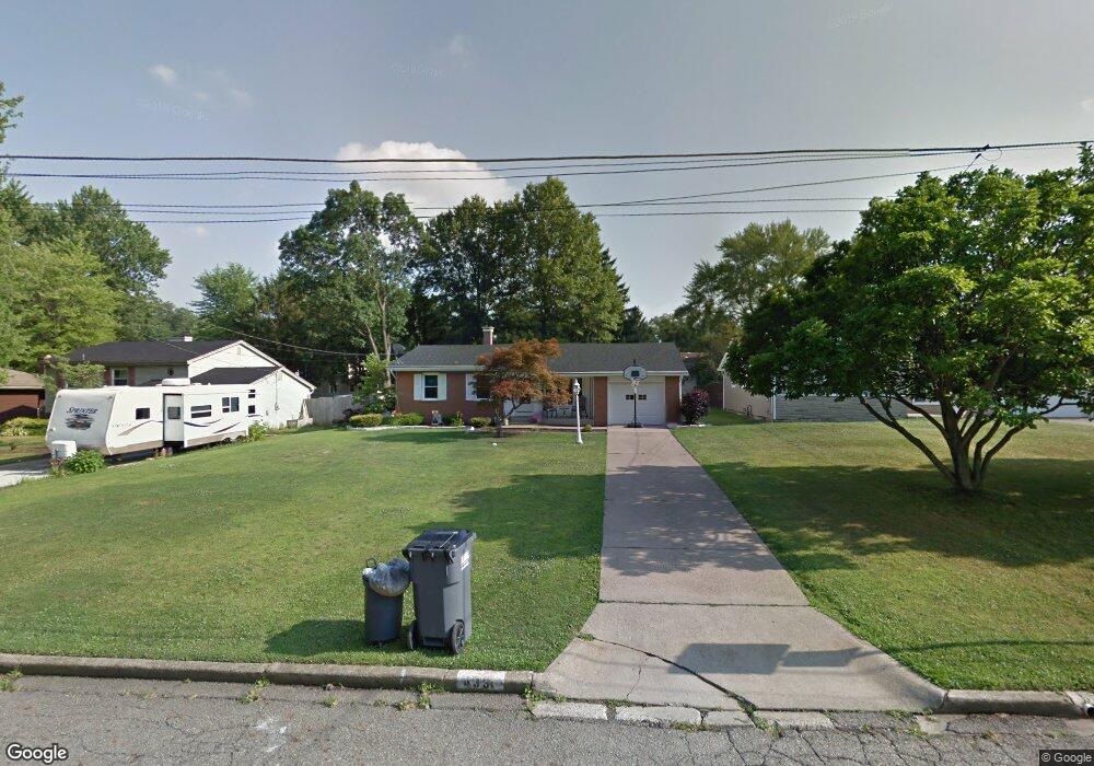
4331 Maureen Dr Youngstown, OH 44511
Austintown NeighborhoodEstimated Value: $163,940 - $179,000
3
Beds
2
Baths
1,176
Sq Ft
$148/Sq Ft
Est. Value
About This Home
This home is located at 4331 Maureen Dr, Youngstown, OH 44511 and is currently estimated at $174,235, approximately $148 per square foot. 4331 Maureen Dr is a home located in Mahoning County with nearby schools including Austintown Elementary School, Austintown Intermediate School, and Austintown Middle School.
Ownership History
Date
Name
Owned For
Owner Type
Purchase Details
Closed on
May 13, 2008
Sold by
Cline Helen
Bought by
Agee Aveuila
Current Estimated Value
Home Financials for this Owner
Home Financials are based on the most recent Mortgage that was taken out on this home.
Original Mortgage
$82,603
Outstanding Balance
$51,732
Interest Rate
6.01%
Mortgage Type
FHA
Estimated Equity
$122,503
Purchase Details
Closed on
Mar 25, 1991
Bought by
Cline Helen
Create a Home Valuation Report for This Property
The Home Valuation Report is an in-depth analysis detailing your home's value as well as a comparison with similar homes in the area
Home Values in the Area
Average Home Value in this Area
Purchase History
| Date | Buyer | Sale Price | Title Company |
|---|---|---|---|
| Agee Aveuila | $83,900 | Attorney | |
| Cline Helen | $46,500 | -- |
Source: Public Records
Mortgage History
| Date | Status | Borrower | Loan Amount |
|---|---|---|---|
| Open | Agee Aveuila | $82,603 |
Source: Public Records
Tax History
| Year | Tax Paid | Tax Assessment Tax Assessment Total Assessment is a certain percentage of the fair market value that is determined by local assessors to be the total taxable value of land and additions on the property. | Land | Improvement |
|---|---|---|---|---|
| 2025 | $2,066 | $41,840 | $7,480 | $34,360 |
| 2024 | $1,977 | $41,840 | $7,480 | $34,360 |
| 2023 | $1,943 | $41,840 | $7,480 | $34,360 |
| 2022 | $1,735 | $29,930 | $6,400 | $23,530 |
| 2021 | $1,737 | $29,930 | $6,400 | $23,530 |
| 2020 | $1,743 | $29,930 | $6,400 | $23,530 |
| 2019 | $1,720 | $26,720 | $5,710 | $21,010 |
| 2018 | $1,659 | $26,720 | $5,710 | $21,010 |
| 2017 | $1,659 | $26,720 | $5,710 | $21,010 |
| 2016 | $1,672 | $26,890 | $5,980 | $20,910 |
| 2015 | $1,623 | $26,890 | $5,980 | $20,910 |
| 2014 | $1,630 | $26,890 | $5,980 | $20,910 |
| 2013 | $1,614 | $26,890 | $5,980 | $20,910 |
Source: Public Records
Map
Nearby Homes
- 4314 Kerrybrook Dr
- 1853 Lancaster Dr
- 4250 Nottingham Ave
- 4230 Selkirk Ave
- 1649 Lancaster Dr
- 3980 Lake Rd
- 3045 Evelyn Rd
- 2612 Frostwood Dr
- 4656 Pinegrove Ave
- 4614 Deopham Green Dr
- 0 Collingwood Place
- 4387 Burkey Rd
- 3930 Brandomyne Ave
- 3895 Ayrshire Dr
- 3890 Ayrshire Dr
- 4202 Burkey Rd
- 4095 Kirk Rd
- 3841 Nottingham Ave
- 4102 Burkey Rd
- 3786 Bryant Dr
- 4325 Maureen Dr
- 4341 Maureen Dr
- 4313 Maureen Dr
- 4338 Wedgewood Dr
- 4344 Wedgewood Dr
- 4332 Wedgewood Dr
- 4330 Maureen Dr
- 4324 Maureen Dr
- 4340 Maureen Dr
- 4307 Maureen Dr
- 4326 Wedgewood Dr
- 4318 Maureen Dr
- 4301 Maureen Dr
- 4320 Wedgewood Dr
- 1781 Paisley St
- 4312 Maureen Dr
- 4337 Wedgewood Dr
- 4343 Wedgewood Dr
- 4331 Wedgewood Dr
- 4314 Wedgewood Dr
Your Personal Tour Guide
Ask me questions while you tour the home.