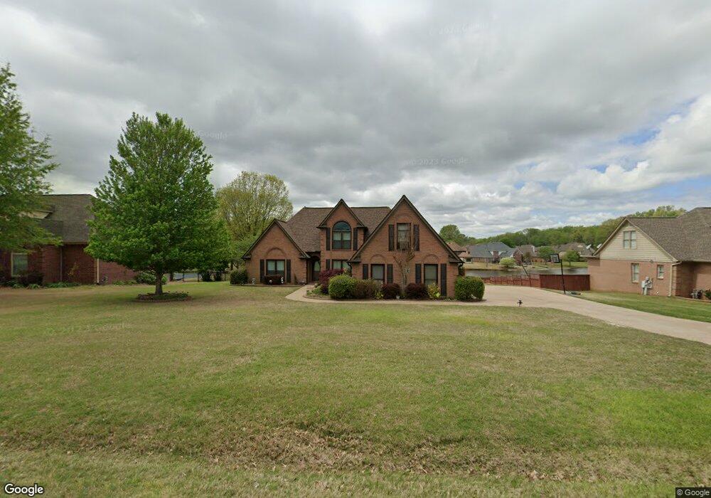
4337 Westbrook Rd Memphis, TN 38135
Estimated Value: $441,000 - $499,000
4
Beds
3
Baths
2,900
Sq Ft
$159/Sq Ft
Est. Value
About This Home
This home is located at 4337 Westbrook Rd, Memphis, TN 38135 and is currently estimated at $461,833, approximately $159 per square foot. 4337 Westbrook Rd is a home located in Shelby County with nearby schools including Bon Lin Elementary School, Bon Lin Middle School, and Bartlett High School.
Ownership History
Date
Name
Owned For
Owner Type
Purchase Details
Closed on
Mar 2, 1999
Sold by
Grant Richard & Milton Co Pso
Bought by
Odom Carl B and Odom Kimberly R
Current Estimated Value
Home Financials for this Owner
Home Financials are based on the most recent Mortgage that was taken out on this home.
Original Mortgage
$212,800
Outstanding Balance
$51,678
Interest Rate
6.79%
Mortgage Type
Construction
Estimated Equity
$410,155
Create a Home Valuation Report for This Property
The Home Valuation Report is an in-depth analysis detailing your home's value as well as a comparison with similar homes in the area
Home Values in the Area
Average Home Value in this Area
Purchase History
| Date | Buyer | Sale Price | Title Company |
|---|---|---|---|
| Odom Carl B | $60,500 | Southern Escrow Title Compan |
Source: Public Records
Mortgage History
| Date | Status | Borrower | Loan Amount |
|---|---|---|---|
| Open | Odom Carl B | $212,800 |
Source: Public Records
Tax History Compared to Growth
Tax History
| Year | Tax Paid | Tax Assessment Tax Assessment Total Assessment is a certain percentage of the fair market value that is determined by local assessors to be the total taxable value of land and additions on the property. | Land | Improvement |
|---|---|---|---|---|
| 2025 | $2,905 | $102,025 | $21,750 | $80,275 |
| 2024 | $2,905 | $85,700 | $17,050 | $68,650 |
| 2023 | $4,388 | $85,700 | $17,050 | $68,650 |
| 2022 | $4,388 | $85,700 | $17,050 | $68,650 |
| 2021 | $4,456 | $85,700 | $17,050 | $68,650 |
| 2020 | $4,603 | $78,275 | $17,050 | $61,225 |
| 2019 | $4,603 | $78,275 | $17,050 | $61,225 |
| 2018 | $4,603 | $78,275 | $17,050 | $61,225 |
| 2017 | $3,217 | $78,275 | $17,050 | $61,225 |
| 2016 | $3,073 | $70,325 | $0 | $0 |
| 2014 | $3,073 | $70,325 | $0 | $0 |
Source: Public Records
Map
Nearby Homes
- 4350 Bridgestone Cir
- 4621 Westbrook Rd
- 4500 Greencedar Ln
- 8224 Memphis Arlington Rd
- 3942 Kimberly Dawn Cove
- 8070 Memphis Arlington Rd
- 7686 Shadow Glen Ln
- 8007 Steven Franklin Dr
- 8051 Bourne Rd
- 4836 Shadow Pine Cove
- 3869 Appling Rd
- 8355 Craven Rd
- 4431 Broadway Rd
- 7890 Stephanie Cove
- 8086 Claredale Dr
- 4717 Shira Dr
- 8280 Rebecca Woods Dr
- 7590 Romero Dr
- 4816 Avi Dr
- 4030 Windolyn Way
- 4349 Westbrook Rd
- 4325 Westbrook Rd
- 4361 Westbrook Rd
- 4311 Westbrook Rd
- 7821 Sunny Trail Dr
- 4344 Westbrook Rd
- 7811 Sunny Trail Dr
- 4332 Westbrook Rd
- 4373 Westbrook Rd
- 4322 Westbrook Rd
- 4299 Westbrook Rd
- 7839 Sunny Trail Dr
- 7801 Sunny Trail Dr
- 7831 Sunny Trail Dr
- 4312 Westbrook Rd
- 4377 Bridgestone Cir
- 4366 Westbrook Rd
- 4298 Westbrook Rd
- 4385 Westbrook Rd
- 4289 Westbrook Rd