43381 Stark Road Ln Harris, MN 55032
Estimated Value: $302,000 - $328,435
3
Beds
2
Baths
1,058
Sq Ft
$302/Sq Ft
Est. Value
About This Home
This home is located at 43381 Stark Road Ln, Harris, MN 55032 and is currently estimated at $319,145, approximately $301 per square foot. 43381 Stark Road Ln is a home located in Chisago County with nearby schools including North Branch Middle School, Sunrise River Elementary School, and North Branch Senior High School.
Ownership History
Date
Name
Owned For
Owner Type
Purchase Details
Closed on
Jun 19, 2006
Sold by
Nelson Marvin G
Bought by
Nelson Timothy A and Nelson Traci L
Current Estimated Value
Create a Home Valuation Report for This Property
The Home Valuation Report is an in-depth analysis detailing your home's value as well as a comparison with similar homes in the area
Home Values in the Area
Average Home Value in this Area
Purchase History
| Date | Buyer | Sale Price | Title Company |
|---|---|---|---|
| Nelson Timothy A | -- | -- |
Source: Public Records
Tax History Compared to Growth
Tax History
| Year | Tax Paid | Tax Assessment Tax Assessment Total Assessment is a certain percentage of the fair market value that is determined by local assessors to be the total taxable value of land and additions on the property. | Land | Improvement |
|---|---|---|---|---|
| 2023 | $3,004 | $250,200 | $0 | $0 |
| 2022 | $2,980 | $245,200 | $0 | $0 |
| 2021 | $2,694 | $187,400 | $0 | $0 |
| 2020 | $2,622 | $197,500 | $57,600 | $139,900 |
| 2019 | $2,430 | $0 | $0 | $0 |
| 2018 | $2,398 | $0 | $0 | $0 |
| 2017 | $2,016 | $0 | $0 | $0 |
| 2016 | $1,990 | $0 | $0 | $0 |
| 2015 | $1,940 | $0 | $0 | $0 |
| 2014 | -- | $135,000 | $0 | $0 |
Source: Public Records
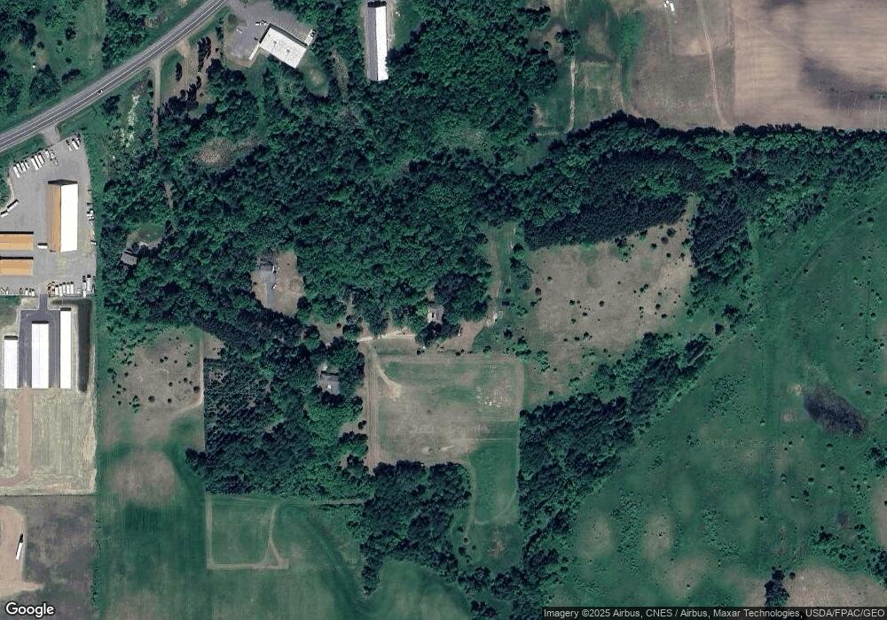
Map
Nearby Homes
- TBD Stark Road Ln
- 6526 439th St
- 43859 Gladstone Ave
- TBD Stark Rd
- 1xx Stark Rd
- 6206 425th St
- 5960 425th St
- 67xx Old Sawmill Rd
- 43xx2 Falcon Ave
- XXX 424th St
- 41921 Goodview Ave
- 5150 417th St
- 5048 450th St
- 44500 Elmcrest Ave
- 42130 Elmcrest Ave
- 40867 Forest Blvd
- 4714 412th St
- 40881 Greystone Ave
- 6567 404th St
- 6685 404th St
- 43418 Stark Road Ln
- 43439 Stark Road Ln
- XXX Stark Road Ln
- xxxxx Stark Road Ln
- 43492 Stark Road Ln
- 6141 Stark Rd
- 6095 Stark Rd
- 5947 Stark Rd
- 43566 Ginger Ave
- 43566 Ginger Ave
- 6205 Stark Rd
- 4356x Ginger Ave
- 6614 Stark Rd
- 5935 Stark Rd
- 6337 Oak St
- 6122 Stark Rd
- 6279 Stark Rd
- 6289 Stark Rd
- 6152 Stark Rd
- 6210 Stark Rd