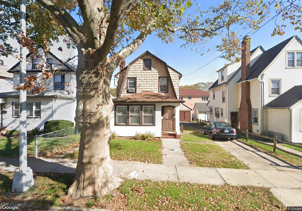
4339 189th St Flushing, NY 11358
Auburndale NeighborhoodEstimated Value: $1,024,000 - $1,136,000
--
Bed
--
Bath
1,444
Sq Ft
$758/Sq Ft
Est. Value
About This Home
This home is located at 4339 189th St, Flushing, NY 11358 and is currently estimated at $1,094,289, approximately $757 per square foot. 4339 189th St is a home located in Queens County with nearby schools including I.S. 25 Adrien Block, Francis Lewis High School, and St Kevin School.
Ownership History
Date
Name
Owned For
Owner Type
Purchase Details
Closed on
Sep 16, 2024
Sold by
Laager Linda A and Lieu Karen
Bought by
Lmf Realty Llc
Current Estimated Value
Purchase Details
Closed on
May 8, 2000
Sold by
Laager Marilyn
Bought by
Lieu Karen and Laager Linda A
Create a Home Valuation Report for This Property
The Home Valuation Report is an in-depth analysis detailing your home's value as well as a comparison with similar homes in the area
Home Values in the Area
Average Home Value in this Area
Purchase History
| Date | Buyer | Sale Price | Title Company |
|---|---|---|---|
| Lmf Realty Llc | $1,080,000 | -- | |
| Lmf Realty Llc | $1,080,000 | -- | |
| Lieu Karen | -- | First American Title Ins Co | |
| Lieu Karen | -- | First American Title Ins Co |
Source: Public Records
Tax History Compared to Growth
Tax History
| Year | Tax Paid | Tax Assessment Tax Assessment Total Assessment is a certain percentage of the fair market value that is determined by local assessors to be the total taxable value of land and additions on the property. | Land | Improvement |
|---|---|---|---|---|
| 2025 | $9,116 | $46,434 | $12,336 | $34,098 |
| 2024 | $9,116 | $45,385 | $12,499 | $32,886 |
| 2023 | $8,732 | $42,996 | $13,139 | $29,857 |
| 2022 | $8,154 | $56,880 | $18,060 | $38,820 |
| 2021 | $8,143 | $60,840 | $18,060 | $42,780 |
| 2020 | $8,191 | $55,920 | $18,060 | $37,860 |
| 2019 | $7,912 | $52,740 | $18,060 | $34,680 |
| 2018 | $7,304 | $35,830 | $13,331 | $22,499 |
| 2017 | $6,939 | $34,038 | $11,197 | $22,841 |
| 2016 | $6,446 | $34,038 | $11,197 | $22,841 |
| 2015 | $3,873 | $32,246 | $14,384 | $17,862 |
| 2014 | $3,873 | $31,518 | $15,280 | $16,238 |
Source: Public Records
Map
Nearby Homes
- 188-02 Northern Blvd
- 4321 172nd St
- 42-25 189th St
- 43-60 Auburndale Ln
- 4360 Auburndale Ln
- 4419 192nd St
- 190-17 42nd Ave
- 45-39 192nd St
- 4539 192nd St
- 4014 191st St
- 45-47 193rd St
- 19112 Station Rd
- 4048 194th St Unit A3
- 191-08 Station Rd
- 40-38 194th St Unit A-1
- 43-52 169th St
- 43-04 169th St
- 4320 196th St
- 43-28 196th St
- 45-31 169th St
- 43-39 189th St
- 43-45 189th St
- 4335 189th St
- 4345 189th St
- 43-35 189th St
- 18911 44th Ave
- 4333 189th St
- 4333 189th St
- 18912 43rd Rd
- 18915 44th Ave
- 4331 189th St
- 189-12 43rd Rd
- 189-18 43rd Rd
- 18914 43rd Rd
- 4401 189th St
- 189-19 44th Ave Unit 1 Fl
- 18919 44th Ave Unit 2 Fl
- 18919 44th Ave Unit 1 Fl
- 18919 44th Ave
- 18918 43rd Rd