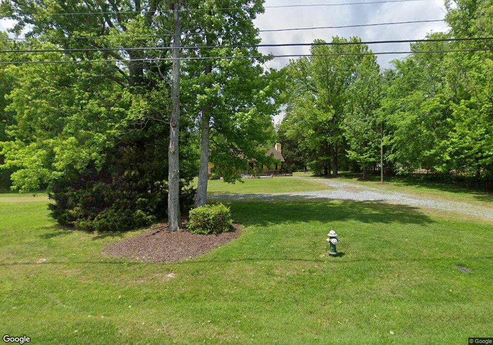
4340 Blackberry Rd Greensboro, NC 27406
Polecat Creek NeighborhoodEstimated Value: $227,000 - $265,108
3
Beds
2
Baths
1,356
Sq Ft
$179/Sq Ft
Est. Value
About This Home
This home is located at 4340 Blackberry Rd, Greensboro, NC 27406 and is currently estimated at $242,277, approximately $178 per square foot. 4340 Blackberry Rd is a home located in Guilford County with nearby schools including Sumner Elementary School, Southern Guilford Middle, and Southern Guilford High School.
Ownership History
Date
Name
Owned For
Owner Type
Purchase Details
Closed on
Sep 18, 2006
Sold by
Church Larry Michael and Church Janelle Boyles
Bought by
Love & Faith Christian Fellowship Inc
Current Estimated Value
Home Financials for this Owner
Home Financials are based on the most recent Mortgage that was taken out on this home.
Original Mortgage
$104,000
Outstanding Balance
$62,149
Interest Rate
6.58%
Mortgage Type
Purchase Money Mortgage
Estimated Equity
$180,128
Create a Home Valuation Report for This Property
The Home Valuation Report is an in-depth analysis detailing your home's value as well as a comparison with similar homes in the area
Home Values in the Area
Average Home Value in this Area
Purchase History
| Date | Buyer | Sale Price | Title Company |
|---|---|---|---|
| Love & Faith Christian Fellowship Inc | $120,000 | None Available |
Source: Public Records
Mortgage History
| Date | Status | Borrower | Loan Amount |
|---|---|---|---|
| Open | Love & Faith Christian Fellowship Inc | $104,000 |
Source: Public Records
Tax History Compared to Growth
Tax History
| Year | Tax Paid | Tax Assessment Tax Assessment Total Assessment is a certain percentage of the fair market value that is determined by local assessors to be the total taxable value of land and additions on the property. | Land | Improvement |
|---|---|---|---|---|
| 2025 | -- | $167,100 | $40,000 | $127,100 |
| 2024 | -- | $167,100 | $40,000 | $127,100 |
| 2023 | -- | $167,100 | $40,000 | $127,100 |
| 2022 | $0 | $167,100 | $40,000 | $127,100 |
| 2021 | $69 | $122,000 | $25,800 | $96,200 |
| 2020 | $0 | $122,000 | $25,800 | $96,200 |
| 2019 | $0 | $0 | $0 | $0 |
| 2018 | $0 | $0 | $0 | $0 |
| 2017 | -- | $0 | $0 | $0 |
| 2016 | -- | $0 | $0 | $0 |
| 2015 | -- | $0 | $0 | $0 |
| 2014 | $1,060 | $120,700 | $0 | $0 |
Source: Public Records
Map
Nearby Homes
- 4908 Peppercorn Ln
- 4404 Tyndale Ct
- Dayton Plan at Avondale
- Vermont Plan at Avondale
- Fairfield Plan at Avondale
- Irvine Plan at Avondale
- Greensboro Plan at Avondale
- Southport Plan at Avondale
- Freeport Plan at Avondale
- Jamestown Plan at Avondale
- Burlington Plan at Avondale
- Kendall Plan at Avondale
- Ellerbe Plan at Avondale
- 528 Foxridge Rd
- 1918 Penley Trail
- 1916 Penley Trail
- 1914 Penley Trail
- 1912 Penley Trail
- 1908 Penley Trail
- 1902 Penley Trail
- 4342 Blackberry Rd
- 1005 Wild Wolf Dr
- 4334 Blackberry Rd
- 1212 Brushy Fork Dr
- 1210 Brushy Fork Dr
- 1208 Brushy Fork Dr
- 1001 Wild Wolf Dr
- 1206 Brushy Fork Dr
- 921 Wild Wolf Dr
- 4330 Blackberry Rd
- 1204 Brushy Fork Dr
- 919 Wild Wolf Dr
- 1213 Brushy Fork Dr
- 917 Wild Wolf Dr
- 1202 Brushy Fork Dr
- 1211 Brushy Fork Dr
- 1209 Brushy Fork Dr
- 1207 Brushy Fork Dr
- 915 Wild Wolf Dr
- 1205 Brushy Fork Dr