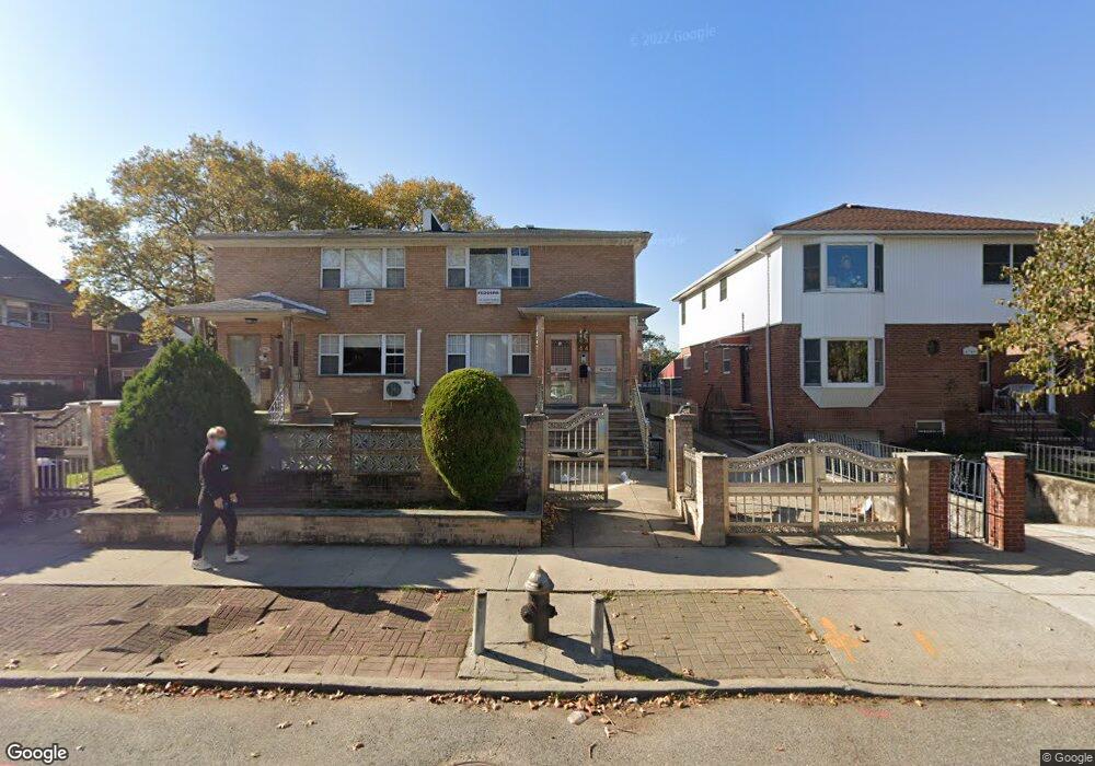
4344 192nd St Flushing, NY 11358
Auburndale NeighborhoodEstimated Value: $1,154,384 - $1,493,000
--
Bed
--
Bath
1,760
Sq Ft
$748/Sq Ft
Est. Value
About This Home
This home is located at 4344 192nd St, Flushing, NY 11358 and is currently estimated at $1,316,596, approximately $748 per square foot. 4344 192nd St is a home located in Queens County with nearby schools including I.S. 25 Adrien Block, Francis Lewis High School, and St Kevin School.
Ownership History
Date
Name
Owned For
Owner Type
Purchase Details
Closed on
Jan 3, 2014
Sold by
Lam Mei Yam and Tung Shui Kui
Bought by
Shui Kui Kenny Tung Living Trust and Mei Yam Lam Living Trust
Current Estimated Value
Purchase Details
Closed on
Mar 6, 2000
Sold by
Ocal Homes Ltd
Bought by
Tung Shui Kui and Lam Mei Yam
Home Financials for this Owner
Home Financials are based on the most recent Mortgage that was taken out on this home.
Original Mortgage
$250,000
Interest Rate
8.24%
Create a Home Valuation Report for This Property
The Home Valuation Report is an in-depth analysis detailing your home's value as well as a comparison with similar homes in the area
Home Values in the Area
Average Home Value in this Area
Purchase History
| Date | Buyer | Sale Price | Title Company |
|---|---|---|---|
| Shui Kui Kenny Tung Living Trust | -- | -- | |
| Tung Shui Kui | $380,000 | -- |
Source: Public Records
Mortgage History
| Date | Status | Borrower | Loan Amount |
|---|---|---|---|
| Previous Owner | Tung Shui Kui | $250,000 |
Source: Public Records
Tax History Compared to Growth
Tax History
| Year | Tax Paid | Tax Assessment Tax Assessment Total Assessment is a certain percentage of the fair market value that is determined by local assessors to be the total taxable value of land and additions on the property. | Land | Improvement |
|---|---|---|---|---|
| 2025 | $8,746 | $43,546 | $12,690 | $30,856 |
| 2024 | $8,746 | $43,546 | $12,456 | $31,090 |
| 2023 | $8,680 | $43,217 | $13,569 | $29,648 |
| 2022 | $8,139 | $72,120 | $22,380 | $49,740 |
| 2021 | $8,095 | $66,120 | $22,380 | $43,740 |
| 2020 | $7,681 | $72,660 | $22,380 | $50,280 |
| 2019 | $7,591 | $69,900 | $22,380 | $47,520 |
| 2018 | $7,341 | $36,014 | $15,992 | $20,022 |
| 2017 | $6,926 | $33,976 | $13,326 | $20,650 |
| 2016 | $6,408 | $33,976 | $13,326 | $20,650 |
| 2015 | $3,646 | $30,240 | $15,011 | $15,229 |
| 2014 | $3,646 | $30,240 | $15,591 | $14,649 |
Source: Public Records
Map
Nearby Homes
- 42-25 189th St
- 4419 192nd St
- 188-02 Northern Blvd
- 4321 172nd St
- 190-17 42nd Ave
- 45-39 192nd St
- 4539 192nd St
- 4048 194th St Unit A3
- 4014 191st St
- 40-38 194th St Unit A-1
- 45-47 193rd St
- 4320 196th St
- 43-28 196th St
- 19112 Station Rd
- 191-08 Station Rd
- 42-32 196th St
- 43-60 Auburndale Ln
- 4360 Auburndale Ln
- 191-22 39th Ave
- 196-19 42nd Rd
- 43-44 192nd St Unit 2Fl
- 4344 192nd St Unit 2Fl
- 43-46 192nd St
- 43-46 192nd St Unit 1Fl
- 43-46 192nd St Unit FL 2
- 4346 192nd St
- 4340 192nd St
- 4336 192nd St
- 18951 44th Ave
- 4336 192nd St
- 4336 192nd St Unit 2FL
- 18951 44th Ave
- 18951 44th Ave Unit 2FL
- 18951 44th Ave Unit 2FL
- 4334 192nd St
- 43-34 192nd St Unit 2
- 43-34 192nd St Unit 1
- 43-34 192nd St
- 18947 44th Ave
- 18954 43rd Rd